Weather
2 Feet Of Snow Predicted Thursday At Highest RivCo Mountain Elevations
If you must travel in the local mountains, call Caltrans at 800-427-ROAD for updates on road closures, chain controls and more.

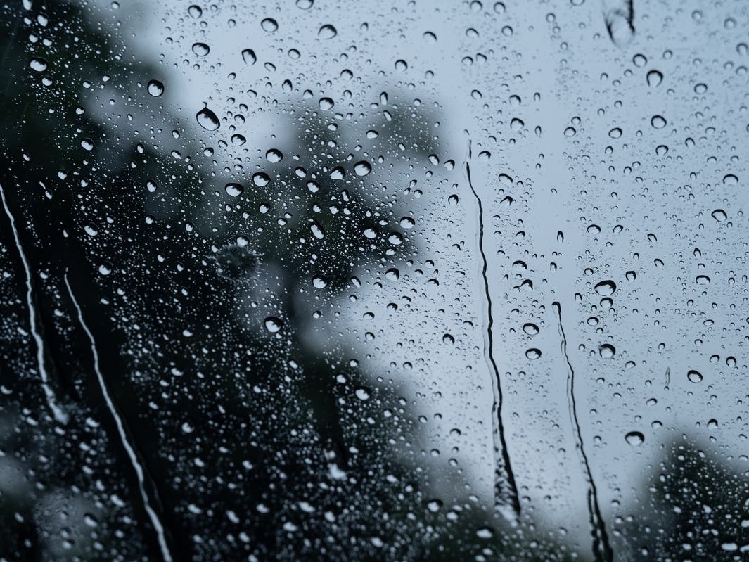
RIVERSIDE COUNTY, CA — A fast-moving Pacific cold front will move inland through Southern California Thursday bringing moderate to heavy rain, wind and snow to local mountains, prompting a winter storm warning and flood watch at the higher elevations, according to the National Weather Service.
In Inland Empire mountains, the snow level is expected to drop to about 5,000 feet by afternoon.
"Snowfall of 1 to 2 inches is possible down to around 5,000 feet, with 2 to 6 inches from 6,000 to 7,000 feet, 6 to 12 inches from 7,000 to 8,000 feet, and 12 to 24 inches above 8,000 feet," the NWS predicted.
Find out what's happening in Murrietafor free with the latest updates from Patch.
The San Jacinto Peak in Mount San Jacinto State Park, at the southern border of the San Gorgonio Pass, is at about 10,800 feet — it's the tallest peak in Riverside County. Toro Peak east of Temecula in the Santa Rosa Mountain Range stands over 8,700 feet.
Wind will also be a factor on Thursday, with gusts up to 45 mph in some areas.
Find out what's happening in Murrietafor free with the latest updates from Patch.
At lower mountain elevations, 2-3 inches of rain is forecast, according to the NWS.
Mountain low temperatures will dip below freezing to the high 20s, the agency reported.
Visit Caltrans at http://QuickMap.dot.ca.gov or call 800-427-ROAD for updates on road closures, chain controls and more.
The NWS explains that its winter storm warning means hazardous weather is imminent. The warning is used when conditions pose a threat to life or property.
Get more local news delivered straight to your inbox. Sign up for free Patch newsletters and alerts.