Weather
Weekend Bomb Cyclone To Be Followed By Atmospheric River Next Week
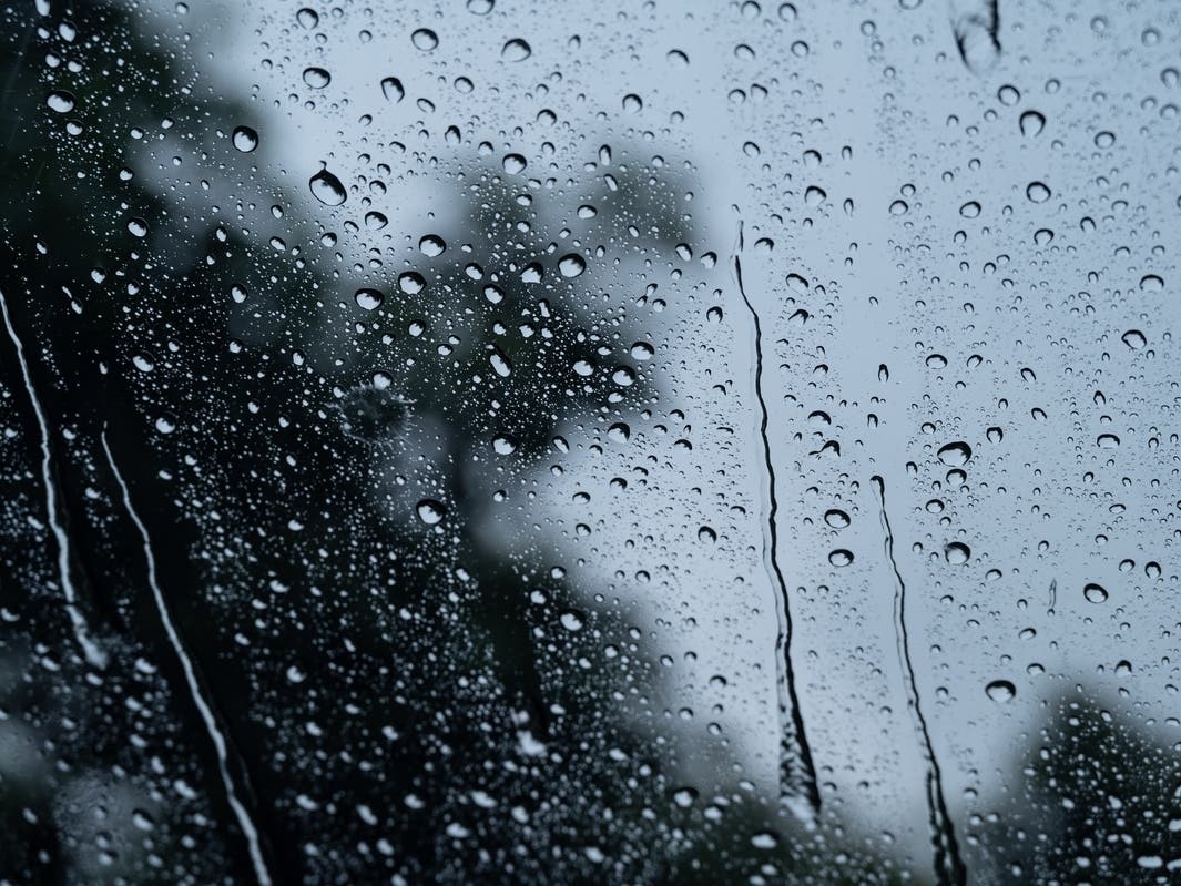
A pair of storms were expected to bring showers and lower temperatures to much of the Southland for the next several days. What to know.


MURRIETA, CA — The 'Triple Bomb' cyclone that devastated the Northwest and caused flooding in Northern California is expected to arrive in Southern California as early as Friday night.
Significantly weakened, the storm expected to bring "measurable" rain and snow to Southern California over the weekend, but the real precipitation is expected to come from a second atmospheric river-fueled storm waiting in the wings, according to the National Weather Service.
The pair of storm systems are expected to bring rain, cloudy skies, mountain snow and chilly temperatures Friday through Wednesday on Thanksgiving week.
Find out what's happening in Murrietafor free with the latest updates from Patch.
The two storms are expected to bring just a quarter of an inch to half an inch of rain to most counties including Los Angeles, Orange, San Diego and Riverside Counties. Rain totals will likely be higher in mountainous areas, NWS Meteorologist Ryan Kittell told Patch.
Temperatures are also expected to cool on Saturday by 5 to 10 degrees in many areas.
Find out what's happening in Murrietafor free with the latest updates from Patch.
The first rains could arrive as early as Friday night in Southern California as the "bomb cyclone" storm makes its way south. While the storm bears a scary name, Kittell said that much of its strength will have weakened by the time it reaches Los Angeles on Friday evening.
The storm drenched parts of Northern California, bringing record rain and heavy snow. By Friday, the storm had closed roads, forced evacuations, knocked out power for hundreds in the Pacific Northwest and killed two people.
"It's already done its bombing," Kittell said. "That name was really more for when the storm was focused over Northern California, where it rapidly intensified — that's the "bomb" part of the name. By the time it gets down to Los Angeles County, it's going to be a whimper of its former self."

Kittell says SoCal residents likely won't need to worry about heavy rain this weekend, but they may want to plan to bring vulnerable items indoors, be mindful of wet roads while traveling, and be prepared for scattered showers.
"Each county as [the storm] moves south is going to be much different than their neighbors to the north," he noted.
For example, Los Angeles was in for a 60% chance of rain on Saturday with expected rain amounts of less than a tenth of an inch. Meanwhile, in Riverside, there was just a 40% chance of rain on Saturday.
On Monday, another system is expected to arrive on Monday and Tuesday, but Kittell says since that's still a few days away, some details could change.

That system is expected to focus more over the Central Coast area, fizzling out to a lighter storm by the time it reaches the Southland counties.
"It could end up being the same kind of thing that we have with tomorrow's rain, where it kind of just focuses itself to the north, and we don't get much here," Kittell said.
Regardless, temperatures are expected to remain below normal through Wednesday, according to the NWS.
Rains are expected to move out of the region completely by late Wednesday, with warmer and drier conditions returning for Thanksgiving, Friday and the rest of the weekend.
The local mountains are expected to get a slight chance of snow especially Saturday night and early Sunday morning. Snow Summit and Bear Mountain opened their resorts this week in anticipation of the winter weather.
Get more local news delivered straight to your inbox. Sign up for free Patch newsletters and alerts.