Weather
How Long Will NJ’s Warm Fall Last? See The November Outlook
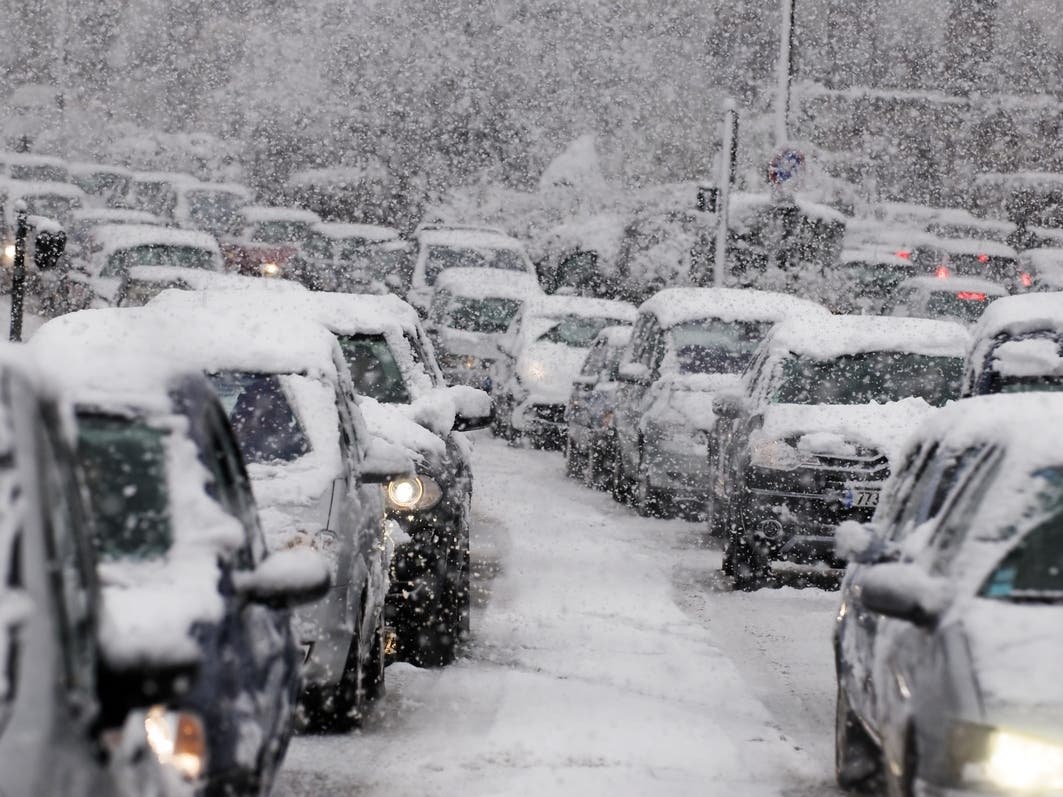
Daytime temperatures in New Jersey climbed into the upper 70s this past week when they are usually in the mid-60s throughout October.

NEW JERSEY — If you’re looking forward to the chillier air that is historically typical in November, you may have to get out of New Jersey and head further north to find it until an expected La Niña climate pattern ushers in colder, snowier weather more typical of winter.
In an updated November outlook Wednesday from The Weather Channel and Atmospheric G2, November temperatures in New Jersey are expected to be above average in the northern part of the state, and slightly above average for communities south of Trenton/the I-95 corridor.
Daytime temperatures in New Jersey climbed into the upper 70s this past week when they are usually in the mid-60s in October, according to data from The Weather Channel. Temperatures on Halloween are usually in the upper 50s in New Jersey, though the forecast for Thursday and Friday calls for temperatures of 80 or more in parts of the state before a cool-down.
Find out what's happening in Across New Jerseyfor free with the latest updates from Patch.
Nationally, fall temperatures have been warmer than the forecasters originally expected. The hottest November temperatures are expected in the nation’s midsection, from Minnesota to Texas and western Montana to upstate New York.
The only places in the country expected to have near-normal November temperatures are Southern California and other parts of the desert Southwest. Predictions for unseasonably warm temperatures lingering into December come amid mounting concern that climate change is making summers hotter and extending the warm weather well into fall.
Find out what's happening in Across New Jerseyfor free with the latest updates from Patch.
Earlier this fall, the National Oceanic and Atmospheric Administration said they’re confident a La Niña to develop yet this winter, but doubt it will be a strong pattern associated with consistent cold weather and heavy snowfall or other precipitation.
El Niño and La Niña are opposite phases of the El Niño-Southern Oscillation, a natural climate pattern that causes predictable changes in the tropical Pacific Ocean. They’re not the only factors in weather, but El Niño generally favors warmer, drier weather, while the opposite is true with a La Niña. Either can have an outsized effect during the winter months.
Forecasters originally expected a La Niña to develop late last winter, which turned out to be the warmest on record in the continental U.S. and worldwide.
Get more local news delivered straight to your inbox. Sign up for free Patch newsletters and alerts.