Weather
Here's What La Niña Means For Snowfall In NJ This Winter, New Forecast Says
Cold and snowy, warm and dry, or a mixed bag? See what the winter has in store for NJ, according to the latest seasonal outlook from NOAA.

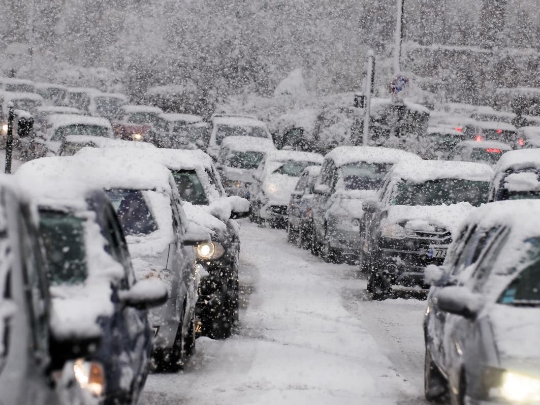
NEW JERSEY — A slowly developing La Niña climate pattern is expected to influence how winter 2024-25 plays out in New Jersey after last year’s warm El Niño winter.
According to the 2024-25 winter outlook released this week by the National Oceanic and Atmospheric Administration’s Climate Prediction Center, the weather in New Jersey will likely be warmer than usual, with near-average seasonal precipitation. The forecast covers the period of December through February.
El Niño and La Niña are opposite phases of the El Niño-Southern Oscillation, a natural climate pattern that causes predictable changes in the tropical Pacific Ocean. They’re not the only factors in weather, but El Niño generally favors warmer, drier weather — while the opposite is true with a La Niña pattern. Either can have an outsized effect during the winter months.
Find out what's happening in Across New Jerseyfor free with the latest updates from Patch.
Forecasters originally expected a La Niña to develop late last winter, which turned out to be the warmest on record in the continental U.S. and worldwide.
“If it seems like we’ve been stuck here in neutral for longer than we expected — we have!” Emily Becker, an atmospheric scientist at the University of Miami, wrote in the National Oceanic and Atmospheric Administration’s latest La Niña/El Niño blog post.
Find out what's happening in Across New Jerseyfor free with the latest updates from Patch.
The climate patterns are predictable, but only in the big picture. Small short-term fluctuations, such as the weaker equatorial trade winds during September, can’t be predicted more than a couple of weeks in advance, at best, Becker wrote.
Forecasters still expect La Niña to develop ahead of the start of meteorological winter on Dec. 1 (the winter solstice on Dec. 21 is generally accepted as the official start of the season). But it is expected to be a weak one.
Strong La Niñas are associated with consistent weather throughout the season, but “a weaker event makes it more likely that other weather and climate phenomena could play the role of spoiler,” Becker wrote.
Overall, NOAA predicts wetter-than-average conditions for the entire northern tier of the continental U.S., particularly in the Pacific Northwest and the Great Lakes region, along with northern and western Alaska. Drier-than-average conditions are expected from the Four Corners region of the Southwest to the Southeast, Gulf Coast and lower mid-Atlantic states.
That could either ease or worsen drought conditions, especially in the central and southern Plains and the Southwest. Parts of New Jersey are experiencing severe drought conditions as of Thursday, including portions of Burlington, Camden, Ocean and Atlantic counties.
Much of North Jersey is considered "abnormally dry," while other communities in Central Jersey, South Jersey, and the Shore region are seeing moderate drought.
“Unfortunately, after a brief period in the spring of 2024 with minimal drought conditions across the country, more than a quarter of the land mass in the continental U.S. is currently in at least a moderate drought,” Brad Pugh, operational drought lead with NOAA’s Climate Prediction Center, said in the statement.
“And the winter precipitation outlook does not bode well for widespread relief,” he said.
Get more local news delivered straight to your inbox. Sign up for free Patch newsletters and alerts.