Weather
Snow Levels Forecast To Drop In RivCo Mountains As Winter Storms Loom
Snow levels are expected to drop in local mountains to 6,000-7,000 feet by Tuesday morning.

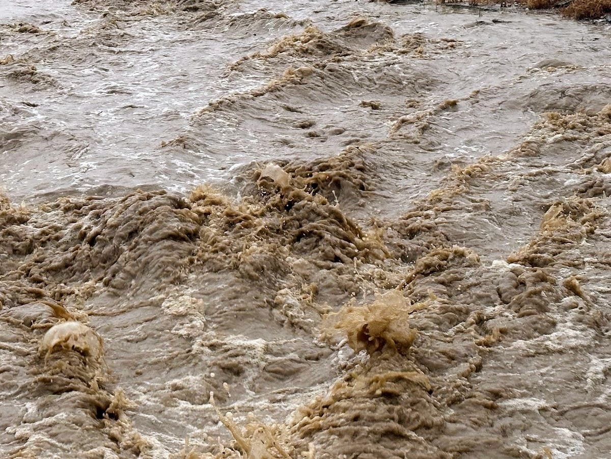
RIVERSIDE COUNTY, CA — A storm system expected to produce "significant precipitation" will bear down on the Inland Empire next week, creating inclement conditions for two to three days, according to the National Weather Service.
Dual low pressure cold fronts will sweep across the region, the first on Sunday night, followed by another Monday night into Tuesday, the NWS said in a short-range forecast released Friday.
"Though exact totals still remain somewhat uncertain, there is growing confidence in the potential for a significant precipitation event across Southern California," according to the Weather Service.
Find out what's happening in Banning-Beaumontfor free with the latest updates from Patch.
Meteorologists said rainfall totals in the Riverside metropolitan area, Temecula Valley and neighboring locations could be anywhere from 1 to 4 inches, with greater precipitation at higher elevations.
Rainfall is predicted to be more widely dispersed in the Coachella Valley and parts east, with the strongest potential for modest precipitation Monday night.
Find out what's happening in Banning-Beaumontfor free with the latest updates from Patch.
"Snow levels with this event look to start rather high, between 8,000 and 9,000 feet at the onset of precipitation late Sunday into Monday," according to the NWS. "Snow levels drop to around 6,000 or 7,000 feet by Tuesday morning, supporting snowfall in many mountain communities in the San Bernardino Mountains. There is some potential for snow levels to be a bit lower than previously advertised."
No winter weather advisories have yet been issued for the San Gorgonio Pass or routes traversing Mountain Center and Idyllwild.
All of the wet weather will spin to the east by Thursday.
According to forecasters, high temperatures in the Riverside area will climb just above 70 degrees Saturday and Sunday, then hover in the upper 50s to low 60s for the balance of the coming week.
Lows will be in the low to mid-40s.
The highs in the Temecula Valley will top out in the mid-60s for the weekend, then remain just below 60 for the remainder of the week, with lows in the upper 30s to low 40s, according to the Weather Service.
For the Coachella Valley, daytime temperatures will settle in the upper 70s this weekend before falling to the mid-60s through the end of next week. Lows will generally range from the upper 40s to mid-50s.