Weather
Rain Heads Toward Murrieta This Week, Where Residents Can Get Sandbags
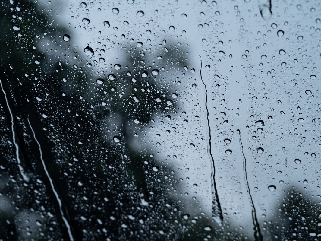
Widespread rain is coming. The City of Murrieta has sandbags available for residents to fill, especially for residents in flood-prone areas.

MURRIETA, CA —It's not a matter of if the storm is coming, but when and how much rain, according to meteorologists. The Inland Empire will be slammed by heavy rain and snow midweek as storms roll out of the Pacific aboard an atmospheric river, the National Weather Service forecasters said Monday.
"This plume of moisture is rather deep, so confidence is high that Wednesday, we'll get widespread rain spreading across the entire region," the National Weather Service said in a statement. "There may be some decrease in rain late Wednesday into Thursday morning. Then a second plume of moisture arrives Thursday with a more organized trough to provide a little more energy and precipitation output, lasting through Friday."
The chances of rainfall throughout the region are better than 80% Thursday to Friday, according to meteorologists. "Orographics will come into play with lifting over mountains, enhancing the rainfall there," the NWS said in a statement. "This will be especially effective in the mountains of San Bernardino County. Snow levels will be rising as the precipitation arrives. Some snow could fall at 5,500 feet Wednesday morning before the snow levels rise to over 7,000 feet Wednesday night and over 8,000 feet late Thursday."
Find out what's happening in Murrietafor free with the latest updates from Patch.
The Weather Service cautioned that the strength of these low-pressure troughs is greater than what the region has experienced so far this winter.
"This will be definitely our wettest storm period in the past year," the agency said. "The deep moisture of both of these waves raises concerns for flooding, especially in recent burn scars."
Find out what's happening in Murrietafor free with the latest updates from Patch.
No advisories had been posted as of Monday morning. Still, in advance of the expected deluge, Murrieta residents concerned about flooding can pick up free sandbags at Murrieta Fire Stations 1 and 2. The sandbags are available on a self-serve basis, and residents are limited to 10 sandbags per household, according to the city.
- Station 1: 41825 Juniper Street, at the intersection of Juniper and Adams
- Station 2: 40060 California Oaks Road, at the intersection of Cal Oaks and Hancock
Bring your own shovel, as supplies may be limited, a city spokesperson said.
The NWS predicted 2 to 3 inches of rain likely in valleys and other lowlands west of the inland mountain ranges Wednesday to Friday, while desert locations may see anywhere from .5 to 1.5 inches over the same period.
.png)
"Snowfall above 8,000 feet could pile up to 18 inches or so, but less than 3 inches below 7,000 feet," according to the agency.
High temperatures in the Riverside metropolitan area Monday and Tuesday will top out in the mid-60s, with overnight lows in the low 40s, while from Wednesday to Friday, the highs will peak in the mid-50s, followed by lows in the mid-40s.
The temperature bands will be almost identical for the Coachella and Temecula valleys.
For the weekend, skies will clear, with mostly sunny conditions region-wide, and the mercury generally will climb back into the upper 60s and low 70s during daylight hours, dipping to around 40 at night, forecasters said.
In Murrieta, here is your weather forecast for the week:
Monday
Sunny, with a high near 63. Southwest wind 5 to 15 mph, with gusts as high as 25 mph.
Monday night
Patchy drizzle and fog after 10pm. Increasing clouds, with a low around 38. Southwest wind 5 to 10 mph, becoming southeast after midnight.
Tuesday
Mostly sunny, with a high near 58. South wind 10 to 15 mph, with gusts as high as 25 mph.
Tuesday Night
A chance of rain after 4am. Partly cloudy, with a low around 39. South wind 5 to 15 mph, with gusts as high as 20 mph. Chance of precipitation is 30%. New precipitation amounts of less than a tenth of an inch possible.
Wednesday
Rain, mainly after 10am. High near 56. South wind 5 to 10 mph increasing to 15 to 20 mph in the afternoon. Winds could gust as high as 30 mph. Chance of precipitation is 80%. New precipitation amounts between a quarter and half of an inch possible.
Wednesday Night
Rain. Low around 45. Chance of precipitation is 80%.
Thursday
Rain. The rain could be heavy at times. High near 58. Chance of precipitation is 100%.
Thursday Night
Rain. The rain could be heavy at times. Cloudy, with a low around 45.
Friday
Rain, mainly before 4pm. Mostly cloudy, with a high near 57.
Friday Night
A chance of rain, mainly before 10pm. Mostly cloudy, with a low around 40.
Saturday
Mostly sunny, with a high near 65.
Saturday Night
Partly cloudy, with a low around 42.
Sunday
Mostly sunny, with a high near 71.
Get more local news delivered straight to your inbox. Sign up for free Patch newsletters and alerts.