Community Corner
Risk Of Flooding, Mudflows Remains In Sonoma County Burn Areas
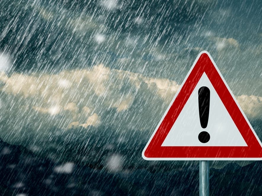
The threat of natural hazards in areas burned by wildfires can exist for years, city and county officials advised.

SONOMA COUNTY, CA — With heavy rain in the forecast for Sunday, Santa Rosa and Sonoma
County officials are again alerting residents in wildfire burn areas about the risk of flash flooding and debris and mudflows. Areas affected by the Nuns, Tubbs and Pocket fires have seen substantial improvement as vegetation grows, but the threat of natural hazards can exist for years, city and county officials said.
Mud and debris flows can occur hours or days after heavy rain has stopped. The Post-Fire Hazard Assessment Map at Sonomacountyrecovers.org gives an estimate of the risk in specific areas, but localized or changing conditions may cause a greater threat than displayed on the map.
Residents should have an emergency supply bag packed that contains important papers, prescriptions, pictures, personal computers and plastic or paper money.
Find out what's happening in Sonoma Valleyfor free with the latest updates from Patch.
Residents also should create an evacuation plan containing two possible evacuation routes and a designated meeting place if family members become separated.
Information is available on Wireless Emergency Alerts and SoCoAlert. Residents should keep their phone and its ringer on to receive alerts from the National Weather Service.
Find out what's happening in Sonoma Valleyfor free with the latest updates from Patch.
Sign up to receive emergency notifications of imminent threats to life or property at Sonomacounty.ca.gov/FES/Emergency-Management/SoCoAlert/.
Keep a battery-operated weather emergency radio on hand to receive critical messages from the National Weather Service in areas of limited cell service or during power outages.
Real-time rainfall and stream flow data are available at Sonoma.onerain.com.
By Bay City News Service
Photo via Shutterstock