Weather
50 MPH Wind Gusts, Rapidly Changing Weather Conditions For Northern Connecticut
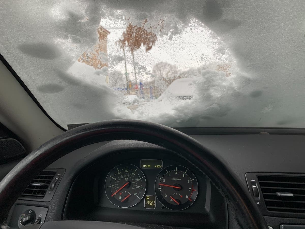
We're going from some snow this morning to spring-like weather later this week.


HARTFORD/TOLLAND/WINDHAM COUNTY, CT — The National Weather Service has issued a wind advisory until 1 a.m. Tuesday as winds could gust up to 50 mph.
"Gusty winds will blow around unsecured objects. Tree limbs could be blown down and a few power outages may result," the weather service said.
Some areas of Connecticut received snow showers Monday morning and WFSB 3 TV meteorologists said "We’ve issued a FIRST ALERT because the strong winds could knock down tree limbs, cause a few power outages, toss around loose yard items, & cause travel difficulties for high profile vehicles."
Find out what's happening in Enfieldfor free with the latest updates from Patch.
"Otherwise, the day looks dry, with highs in the 40s (feeling more like the 20s and 30s with the wind)," said WFSB 3 TV Meteorologist Jill Gilardi with Scot Haney. "By tonight, winds will calm a bit, but it’s still going to be breezy. Temps fall into the 30s. Tomorrow, while breezy conditions continue, it will be much nicer. Highs will be in the lower half of the 50s under mostly sunny skies! Temperatures begin turning around tomorrow, and a warmup looks likely through the end of the week. High pressure moves in on Wednesday, winds die down, and eventually southerly winds boost temperatures into the 60s by later this week. We’ll see plenty of sunshine this week too!
"Thursday and Friday will be the warmest days -- highs in the lower to middle 60s inland, upper 50s to near 60 along the shoreline. Thursday will be partly sunny, while Friday features more cloud cover and a chance for showers. Models differ this far out regarding rain chances between Friday and St. Patrick’s Day weekend. For now, it looks iffy, minor, and not a washout. If you are attending an outdoor themed event, be sure to keep checking back with us for updates as new data comes in this week," Gilardi and Haney said. (Read/Watch more at WFSB 3 TV).
Find out what's happening in Enfieldfor free with the latest updates from Patch.
See also: TV News Station Announces Significant On-Air Changes
Here are the forecast details for northern Connecticut via the National Weather Service:
Today: Mostly sunny, with a high near 44. Breezy, with a northwest wind 18 to 25 mph, with gusts as high as 47 mph.
Tuesday: Sunny, with a high near 54. Northwest wind 9 to 16 mph.
Wednesday: Partly sunny, with a high near 62. Light and variable wind becoming southwest 5 to 8 mph in the morning.
Thursday: Partly sunny, with a high near 65. South wind 6 to 10 mph becoming west in the morning.
Friday: A chance of rain. Mostly cloudy, with a high near 59. Southwest wind 9 to 14 mph becoming northwest in the afternoon. Chance of precipitation is 40%.
Saturday: A chance of rain. Partly sunny, with a high near 56. Northwest wind 10 to 13 mph. Chance of precipitation is 30%.
Sunday: A chance of rain. Mostly cloudy, with a high near 54. Southwest wind 9 to 17 mph. Chance of precipitation is 40%
Get more local news delivered straight to your inbox. Sign up for free Patch newsletters and alerts.