Weather
Snow Accumulation Estimates Released For Hartford/Tolland County
The National Weather Service has released initial snow accumulation estimates for a winter storm on Monday and Tuesday.

HARTFORD/TOLLAND/WINDHAM COUNTY, CT — The National Weather Service has issued a hazardous weather outlook for Monday and Tuesday saying a "plowable snowfall is possible Monday night into Tuesday..."
"...a plowable snowfall remains possible, with snow covered roads impacting travel Monday night into Tue night, including the Tue morning commute. Still 72-96 hrs out in model time, so this forecast is likely not to verify exactly as is," the weather service said.
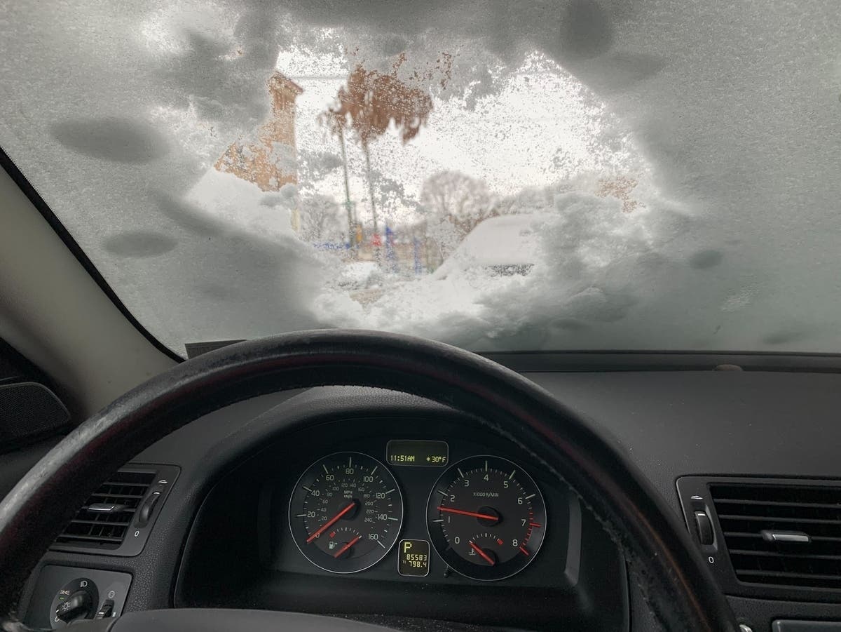
Monday/Tuesday snow details via WFSB 3 TV
Find out what's happening in Enfieldfor free with the latest updates from Patch.
"Monday starts dry with some sunshine as clouds build gradually through the day. Right now, all eyes are on a storm system we have issued an *ALERT* for that starts Monday evening and lasts through Tuesday. Based on the latest guidance, it looks like it starts off as snow and possibly could changeover to mix, even rain. There is still too much uncertainty to nail down specific totals but it definitely looks possible to see several inches of accumulation through Tuesday." (Watch the WFSB 3 TV weather forecast here).
See also: 30-Person Brawl Broke Out At Popular Restaurant: PD
Find out what's happening in Enfieldfor free with the latest updates from Patch.
Here are the extended forecast details for northern Connecticut:
This Afternoon: Snow likely, mainly before 5pm. Cloudy, with a high near 22. South wind around 7 mph. Chance of precipitation is 70%. Total daytime snow accumulation of 1 to 2 inches possible.
Tonight: A chance of snow before 7pm. Mostly cloudy, with a low around 18. Calm wind. Chance of precipitation is 30%. New snow accumulation of less than a half inch possible.
Sunday: A chance of snow between 11am and 1pm, then a chance of rain after 1pm. Mostly cloudy, with a high near 43. Light south wind becoming west 10 to 15 mph in the morning. Chance of precipitation is 30%. Little or no snow accumulation expected.
Monday: A chance of rain, mainly after 5pm. Partly sunny, with a high near 38. Light and variable wind becoming north 5 to 7 mph in the morning. Chance of precipitation is 30%.
Monday Night: Snow, mainly after 7pm. Patchy fog after 1am. Patchy freezing fog between 8pm and 1am. Low around 27. Southeast wind 10 to 15 mph. Chance of precipitation is 100%. New snow accumulation of 3 to 7 inches possible.
Tuesday: Rain, possibly mixed with snow, becoming all rain after 1pm. Patchy fog before 4pm. High near 35. East wind 8 to 13 mph becoming northwest in the afternoon. Chance of precipitation is 90%.
Tuesday Night: A chance of rain and snow before 7pm, then a chance of rain between 7pm and 8pm. Partly cloudy, with a low around 24. Northwest wind 9 to 11 mph. Chance of precipitation is 30%.
Get more local news delivered straight to your inbox. Sign up for free Patch newsletters and alerts.