Weather
Hazardous Weather Outlook Issued For Northern Connecticut
The weather service said there are several upcoming chances for wintry weather in Hartford and Tolland County. Here's what you need to know.

HARTFORD/TOLLAND/WINDHAM COUNTY, CT — The National Weather Service has issued a hazardous weather outlook for several chances of wintry weather beginning tonight.
The weather service wrote: "Weak passing shortwave/low to our south overnight will bring light snow/showers RI/SE MA and portions of CT. A second round of snow/rain develops Tuesday afternoon, dropping accumulation snow across central and western MA.
"Impactful mixed precipitation system impacts our region (Wednesday) night through early Friday," the weather service added.
Find out what's happening in Enfieldfor free with the latest updates from Patch.
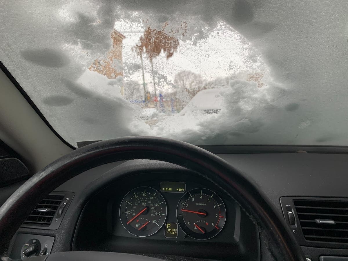
The light snow is forecast to be falling during the Tuesday morning commute, which could cause some slippery travel conditions.
Here are the extended forecast details via the National Weather Service:
Find out what's happening in Enfieldfor free with the latest updates from Patch.
Tonight: A chance of rain and snow between 2am and 4am, then a chance of snow after 4am. Mostly cloudy, with a low around 30. Northwest wind 5 to 9 mph becoming calm after midnight. Chance of precipitation is 30%. Total nighttime snow accumulation of less than a half inch possible.
Tuesday: A chance of rain and snow before 1pm, then rain likely. Cloudy, with a high near 41. Light and variable wind becoming southeast 5 to 9 mph in the morning. Chance of precipitation is 60%. Little or no snow accumulation expected.
Tuesday Night: Rain likely, mainly before 9pm. Mostly cloudy, then gradually becoming mostly clear, with a low around 27. Northwest wind 9 to 13 mph. Chance of precipitation is 70%. New precipitation amounts of less than a tenth of an inch possible.
Wednesday: Increasing clouds, with a high near 42. West wind 7 to 11 mph.
Wednesday Night: Snow, possibly mixed with rain, becoming all snow after midnight. Low around 29. North wind 6 to 9 mph becoming southeast in the evening. Chance of precipitation is 100%. New snow accumulation of less than one inch possible.
Thursday: Snow before 11am, then rain. High near 35. Northeast wind around 11 mph. Chance of precipitation is 100%. Little or no snow accumulation expected.
Thursday Night: Rain likely, possibly mixed with sleet before 10pm, then snow likely between 10pm and 5am. Mostly cloudy, with a low around 26. Northeast wind around 10 mph becoming west after midnight. Chance of precipitation is 60%.
Friday: Mostly sunny, with a high near 35. Breezy, with a northwest wind 16 to 21 mph, with gusts as high as 31 mph.
Get more local news delivered straight to your inbox. Sign up for free Patch newsletters and alerts.