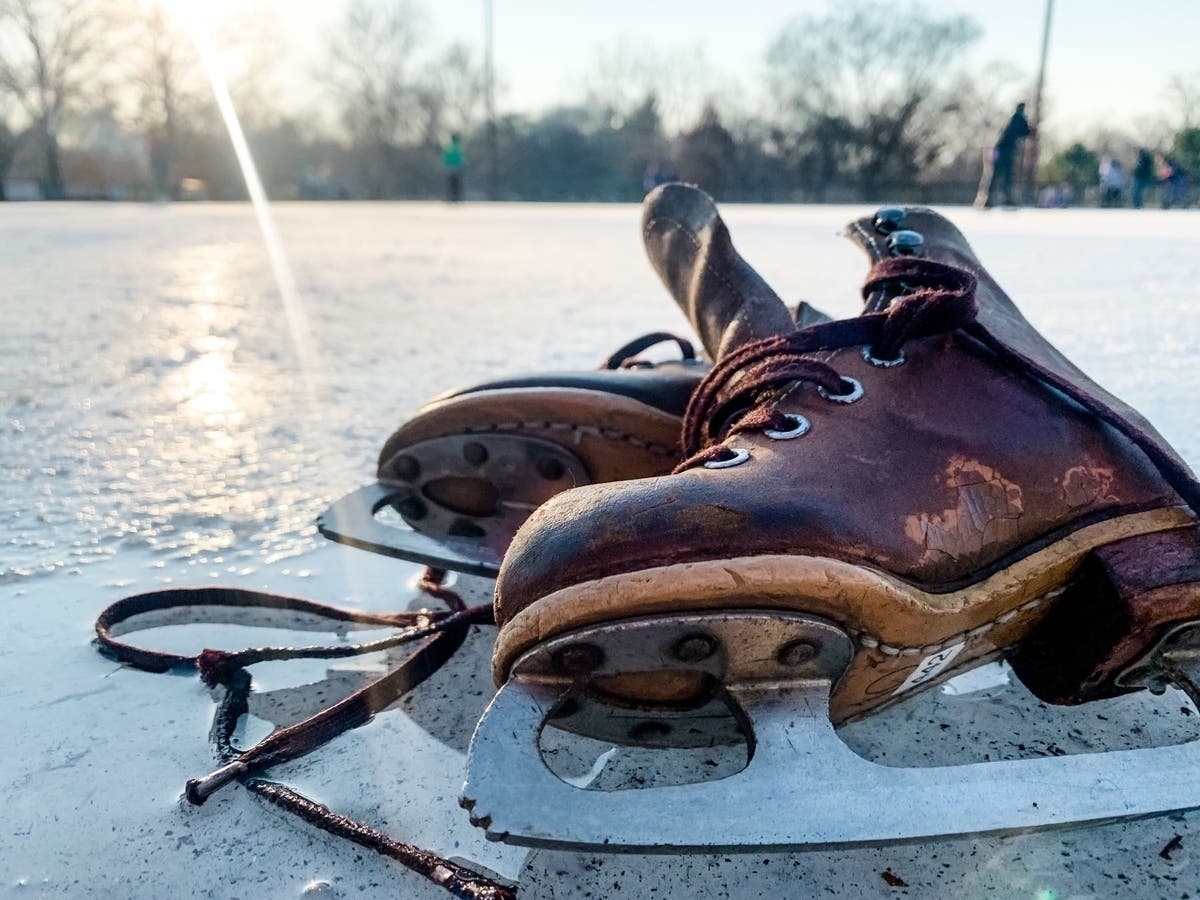
Weather
Snow Totals Increase, Storm Warning Upgraded Ahead Of Winter Weather
Students and parents will be watching for school closures potentially as early as midday Thursday.


BOSTON — Much of the state is now expected to get 6-8 inches of snow during the first storm of the season, with the timing casting doubt on whether school will take place at the end of a tumultuous week.
The National Weather Service upgraded its winter storm watch to a winter storm warning for parts of Eastern Mass. and Rhode Island.
Snow is expected to start falling early Friday morning — between 3-5 a.m. depending on where you are in the state — and intensify through the morning. Forecasters are expecting a rate of 1 inch per hour from around 6-9 a.m.
Find out what's happening in Across Massachusettsfor free with the latest updates from Patch.
"Impacts to the morning commute are almost a certainty at this point," the weather service said. The MBTA said conditions could impact transit.
Southeastern Mass. will take the brunt of the snow, likely realizing the highest totals. The rest of the state east of Worcester could see anywhere from 4-6 inches, while the central part of the state will see closer to 1-3 inches.
Find out what's happening in Across Massachusettsfor free with the latest updates from Patch.
Some cities have already called snow emergencies. Meanwhile, students and parents will be watching for school closures potentially as early as midday Thursday. Districts have already struggled to provide a full week of learning due to COVID-related staffing shortages and health precautions.
Winter storm watch has been upgraded to a winter storm warning for RI and parts of eastern MA. 6-8 inches of snowfall expected. This storm will impact the morning commute. 1 inch per hour snowfall rates will be possible from roughly 6-9 am over the warning area Friday morning. pic.twitter.com/46AlCUTVkn
— NWS Boston (@NWSBoston) January 6, 2022
Forecast via NWS
BOSTON
Tonight — Snow, mainly after 3am. Low around 28. West wind 5 to 7 mph becoming light and variable. Chance of precipitation is 80%. New snow accumulation of 1 to 3 inches possible.
Friday — Snow, mainly before noon. The snow could be heavy at times. High near 31. Northwest wind 8 to 16 mph. Chance of precipitation is 90%. New snow accumulation of 3 to 7 inches possible.
Friday Night — Mostly clear, with a low around 17. West wind 11 to 14 mph. Sunny, with a high near 29. Northwest wind 5 to 10 mph becoming light in the afternoon.
Saturday Night — Partly cloudy, with a low around 18. South wind 3 to 8 mph.
Sunday — A chance of snow between 7am and 11am, then a chance of rain after 11am. Mostly cloudy, with a high near 40. Southwest wind 10 to 15 mph, with gusts as high as 26 mph. Chance of precipitation is 50%.
Sunday Night — A chance of rain and snow before 2am, then a chance of snow between 2am and 3am. Mostly cloudy, with a low around 26. Southwest wind 9 to 11 mph, with gusts as high as 21 mph. Chance of precipitation is 50%.
WORCESTER
Tonight — Snow likely, mainly after 4am. Increasing clouds, with a low around 26. West wind around 5 mph becoming calm. Chance of precipitation is 60%. New snow accumulation of 1 to 2 inches possible.
Friday — Snow, mainly before 11am. The snow could be heavy at times. High near 30. North wind 7 to 14 mph becoming northwest in the afternoon. Chance of precipitation is 90%. New snow accumulation of 4 to 6 inches possible.
Friday Night — Mostly clear, with a low around 14. West wind 9 to 13 mph.
Saturday — Sunny, with a high near 29. Northwest wind 3 to 8 mph.
Saturday Night — Partly cloudy, with a low around 16. Calm wind becoming southwest 5 to 7 mph after midnight.
Sunday — Rain and snow likely, becoming all rain after 3pm. Mostly cloudy, with a high near 38. Southwest wind 9 to 15 mph, with gusts as high as 25 mph. Chance of precipitation is 60%.
Sunday Night — A chance of rain and snow before 1am, then a chance of snow between 1am and 2am. Mostly cloudy, with a low around 23. Southwest wind around 11 mph, with gusts as high as 21 mph. Chance of precipitation is 50%.
Get more local news delivered straight to your inbox. Sign up for free Patch newsletters and alerts.