Weather
Wintry Weather Returns To NJ This Week In Sudden Shift
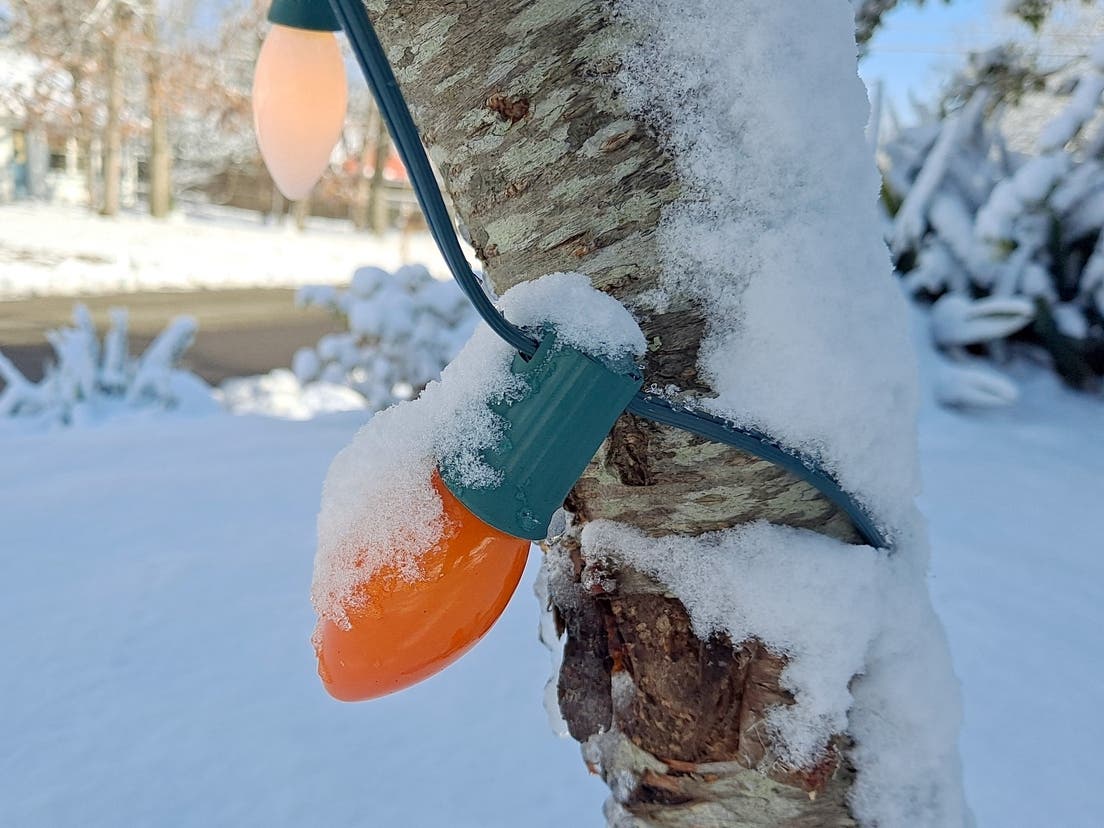
Winterlike temperatures are in store this week, with blustery conditions and a widespread freeze, according to the latest forecast.

NEW JERSEY — Don't put those winter clothes away just yet, as a blustery, cold week is ahead for the Garden State, according to the latest forecast.
"It will feel like winter for many across the Midwest and Northeast at the start of the week as Arctic air surges south from Canada," AccuWeather Meteorologist Alex DaSilva said. "Temperatures across much of the Midwest and interior Northeast will be as much as 10-20 degrees F below the historical average, and with a gusty wind out of the northwest conditions will feel very chilly."
A cold front will sweep through the state Monday night after a rainy day, ushering in dry, windy conditions, the National Weather Service said. Tuesday will see wind gusts of up to 40 mph, the strongest of which will occur between mid-morning and mid-afternoon.
Find out what's happening in Across New Jerseyfor free with the latest updates from Patch.
If you've started planting in your home garden, now would be the time to take steps to protect those plants, forecasters warn.
"A widespread freeze is expected Tuesday night, with lows by daybreak Wednesday in the mid 20s to near 30 degrees, even for the coastal areas," National Weather Service forecasters said.
Find out what's happening in Across New Jerseyfor free with the latest updates from Patch.
By Wednesday afternoon, temperatures will rise to the 40s and possibly the 50s in some areas, according to the National Weather Service. There will again be some risk of frost that night.
Then, by the end of the week, temperatures will return near normal for this time of year. However, things are expected to turn unsettled and rainy again by then, forecasters say.
Here's the latest forecast.
North Jersey
Monday: A chance of showers. Cloudy, with a high near 45. Northeast wind around 5 mph. Chance of precipitation is 40 percent. New precipitation amounts of less than a tenth of an inch possible.
Monday Night: A chance of showers, mainly before 7 p.m. Cloudy, with a low around 32. Calm wind becoming west around 5 mph after midnight. Chance of precipitation is 30 percent. New precipitation amounts of less than a tenth of an inch possible.
Tuesday: Mostly sunny, with a high near 43. Breezy, with a west wind 15 to 20 mph, with gusts as high as 35 mph.
Tuesday Night: Mostly clear, with a low around 27. West wind 5 to 15 mph, with gusts as high as 25 mph.
Wednesday: Sunny, with a high near 50. West wind around 10 mph.
Wednesday Night: Partly cloudy, with a low around 33.
Thursday: Mostly cloudy, with a high near 54.
Thursday Night: A chance of rain after 8 p.m. Cloudy, with a low around 43. Chance of precipitation is 50 percent.
Friday: Rain likely, mainly after 2 p.m. Mostly cloudy, with a high near 56. Chance of precipitation is 60 percent.
Central Jersey
Monday: Showers likely. Cloudy, with a high near 47. Northeast wind around 5 mph. Chance of precipitation is 60 percent. New precipitation amounts of less than a tenth of an inch possible.
Monday Night: A chance of showers, mainly before midnight. Cloudy, with a low around 32. North wind around 5 mph becoming west after midnight. Chance of precipitation is 40 percent. New precipitation amounts of less than a tenth of an inch possible.
Tuesday: Sunny, with a high near 46. Breezy, with a west wind 15 to 20 mph, with gusts as high as 35 mph.
Tuesday Night: Mostly clear, with a low around 27. Blustery, with a west wind 10 to 20 mph.
Wednesday: Sunny, with a high near 50. West wind around 10 mph.
Wednesday Night: Partly cloudy, with a low around 33.
Thursday: A chance of rain after 2 p.m. Mostly cloudy, with a high near 54. Chance of precipitation is 30 percent.
Thursday Night: Rain likely, mainly after 2 a.m. Mostly cloudy, with a low around 44. Chance of precipitation is 60 percent.
Friday: Rain likely, mainly after 2 p.m. Mostly cloudy, with a high near 59. Chance of precipitation is 70 percent.
South Jersey
Monday: Showers likely. Cloudy, with a high near 49. Northeast wind around 5 mph. Chance of precipitation is 70 percent. New precipitation amounts of less than a tenth of an inch possible.
Monday Night: Showers likely, mainly before midnight. Cloudy, with a low around 33. North wind around 5 mph becoming west after midnight. Chance of precipitation is 70 percent. New precipitation amounts of less than a tenth of an inch possible.
Tuesday: Sunny, with a high near 48. West wind around 15 mph, with gusts as high as 30 mph.
Tuesday Night: Mostly clear, with a low around 26. Northwest wind 10 to 15 mph, with gusts as high as 25 mph.
Wednesday: Sunny, with a high near 51. Northwest wind around 10 mph.
Wednesday Night: Partly cloudy, with a low around 36.
Thursday: Mostly cloudy, with a high near 56.
Thursday Night: Rain likely, mainly after 2 a.m. Mostly cloudy, with a low around 46. Chance of precipitation is 60 percent.
Friday: Rain likely, mainly after 2 p.m. Mostly cloudy, with a high near 62. Chance of precipitation is 60 percent.
Get more local news delivered straight to your inbox. Sign up for free Patch newsletters and alerts.