Weather
Hazardous Weather Outlook For Hudson County: See Timing For Storms
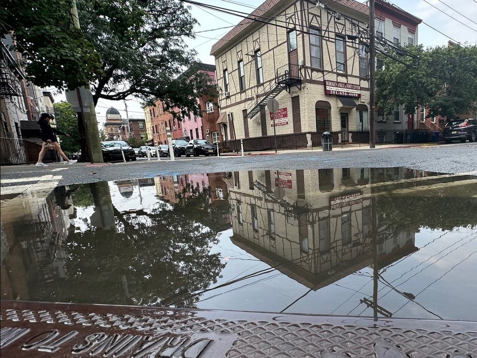
An inch of rain may fall in Hudson County late Wednesday, with the possibility of severe thunderstorms late.

NORTH JERSEY, NJ — A Hazardous Weather Outlook has been issued for North Jersey, including Hudson County, for Wednesday evening. It says:
"There is a slight risk for severe thunderstorms for late Wednesday afternoon into Wednesday night. The main threats will be for damaging winds and large hail."

Rain is expected after 5 p.m. and overnight. Up to an inch of rain may fall by the end of the night.
Find out what's happening in Hobokenfor free with the latest updates from Patch.
See the forecast and alerts here.
Get Updates With These Links
Find out what's happening in Hobokenfor free with the latest updates from Patch.
Forecasting weather is an imperfect science, so it's best to be prepared, then to check the most up-to-date numbers:
- Keep an eye on the radar here.
- See a current map of all watches and warnings in New Jersey here.
See the updated NWS forecasts, watches, and warnings for North Jersey:
What about the rivers? This NWS map of the United States will show the potential for flooding.
Get more local news delivered straight to your inbox. Sign up for free Patch newsletters and alerts.