Weather
Thick Marine Layer, Spotty Drizzle Seen In San Diego County
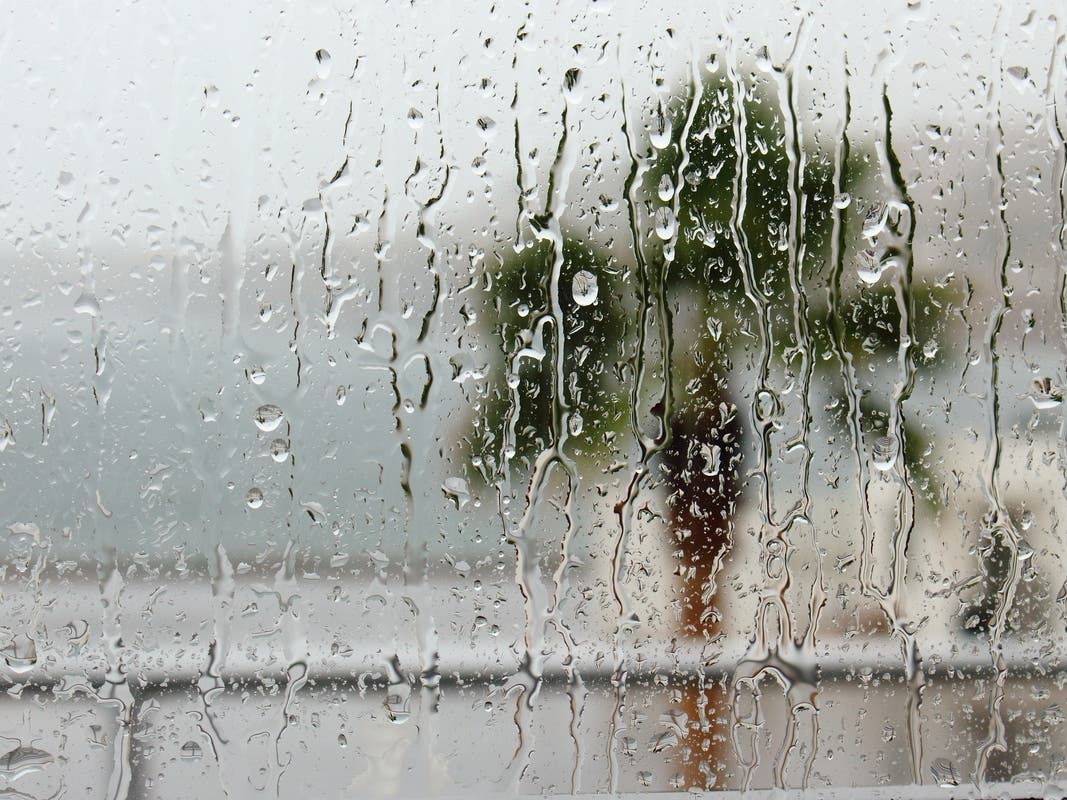
Marine layer clouds were locked in to the San Diego County foothills amid spotty drizzle Sunday morning.
SAN DIEGO, CA — Marine layer clouds were locked in to the San Diego County foothills amid spotty drizzle Sunday morning.
"The low cloudiness will struggle to clear fully today with some of the beaches likely remaining overcast," the National Weather Service said.
The marine layer was expected to burn off over the rest of the county by midday, leaving fair skies and cooler-than-average weather for late September.
Find out what's happening in San Diegofor free with the latest updates from Patch.
Thunderstorms developing over the mountains were likely to lessen from Saturday, the NWS said.
High temperatures along the coast Sunday were predicted to be 71-76 degrees with overnight lows of 58-65. Inland valley highs will be 77-82 with overnight lows of 55-61. Mountain highs were expected to be 75-83 with overnight lows of 51-60. Highs in the deserts will be 93-98 with overnight lows of 70-76.
Find out what's happening in San Diegofor free with the latest updates from Patch.
A large trough was expected to develop through the first half of the week, maintaining onshore flow, a deep marine layer, and cooler than average days.
Northwest winds were expected to increase Tuesday over the outer coastal waters, with gusts near 20 knots possible.
A south-southwest swell was predicted to bring elevated surf and a high risk of rip currents to the beaches Monday into Tuesday. Surf was expected to gradually diminish Tuesday through Wednesday.
A noticeable warm-up was predicted Thursday and Friday with weak Santa Ana conditions.
—City News Service