Weather
Heat Wave Coming To Temecula: County Warns To 'Take Seriously'
"Temperatures like those predicted can lead to life-threatening issues. Just a few precautions can help you stay safe."

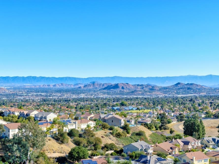
RIVERSIDE COUNTY, CA — Temperatures will soar into the triple digits Friday throughout Riverside County, and residents were advised to take precautions to prevent heat stroke and other problems. In Temecula, forecasters predict it'll hit the low to mid 90s through Monday. Nearby Lake Elsinore will hit 101 degrees in the coming days, while Murrieta will be in the high 90s.
"Take this heat seriously, even if you're healthy and feel you are acclimated to high temperatures," county Public Health Officer Dr. Cameron Kaiser said. "Temperatures like those predicted can lead to life-threatening issues. Just a few precautions can help you stay safe."
According to the National Weather Service, a stationary ridge of high pressure will dominate Southern California, pushing the mercury above 100 degrees in the Riverside metropolitan area, with the thermometer climbing toward 120 in the eastern Coachella Valley.
Find out what's happening in Temeculafor free with the latest updates from Patch.
The NWS issued a heat advisory from 10 a.m. Friday to 8 p.m. Monday, noting that "periods of hot temperatures ... will create a situation in which heat illnesses are possible." Southwest Riverside County falls under the heat advisory.

"Drink plenty of fluids, stay in air-conditioned rooms, stay out of the sun, and check up on relatives and neighbors," according to an agency statement.
Find out what's happening in Temeculafor free with the latest updates from Patch.
Dr. Kaiser advised county residents to also wear loose and light-colored clothes and to take cool shores.
"Avoid drinking alcohol or liquids containing high amounts of sugar," a county statement suggested.
The South Coast Air Quality Management District is also warning the heat wave will increase the likelihood of unhealthy to very unhealthy air across Riverside County, including the San Gorgonio Pass.
"Elevated temperatures, which enhance ozone formation rates, coupled with predicted atmospheric inversions that trap pollution near the surface may cause unusually high and persistent levels of ozone pollution," the South Coast AQMD said, adding that:
"When air quality is 'unhealthy' and reaches an air quality index (AQI) range of 151 to 200, everyone may begin to experience some adverse health effects, and residents with higher sensitivity to air pollution may experience more serious effects. When air quality is 'very unhealthy' with an AQI range of 201 to 300, everyone in the region may experience more serious health effects."
Cooling centers will be open daily during the heat wave, providing county residents who do not live in climate-controlled environments a free cool space to relax until the evening hours.
A complete list of cooling centers is available on the county's website.

According to meteorologists, the broiling air mass will keep highs in the low 100s around Riverside, Perris, Murrieta and surrounding locations until Tuesday. The mercury will approach 120 in Indio, Thermal and parts farther east over the same period, the NWS said.
The upper level ridge will weaken by the middle of next week, with seasonable temps gradually returning, according to the Weather Service.
Here's the full NWS forecast for Temecula for the coming days:
Friday
Sunny, with a high near 91. Light southwest wind becoming south 5 to 10 mph in the afternoon. Winds could gust as high as 20 mph.
Friday Night
Mostly clear, with a low around 66. South wind 5 to 10 mph becoming light and variable in the evening.
Saturday
Sunny, with a high near 92. Light west wind becoming southwest 5 to 10 mph in the morning. Winds could gust as high as 20 mph.
Saturday Night
Mostly clear, with a low around 65. Southwest wind 5 to 10 mph becoming light and variable in the evening.
Sunday
Sunny, with a high near 92. Light and variable wind becoming southwest 10 to 15 mph in the morning. Winds could gust as high as 20 mph.
Sunday Night
Mostly clear, with a low around 64.
Monday
Sunny, with a high near 95.
Monday Night
Clear, with a low around 63.
Get more local news delivered straight to your inbox. Sign up for free Patch newsletters and alerts.