Weather
Tropical Storm Hilary: RivCo Residents Urged To Take Precautions
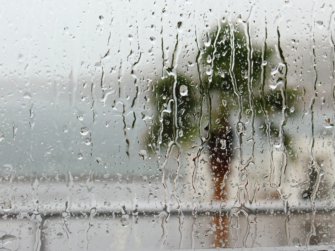
Forecasters warned conditions could get wild and downright dangerous with heavy rain, floods, wind and isolated tornadoes.

RIVERSIDE COUNTY, CA — Tropical systems have impacted Southern California before, but Riverside County — and the rest of Southern California — is under a first-ever tropical storm watch issued by the National Hurricane Center/National Weather Service.
In Riverside County, the watch covers all of western and southwestern county areas, local mountains, the San Gorgonio Pass near Banning, and the Coachella Valley.
The unusual weather is a result of Hurricane Hilary, a Category 4 storm over the Pacific Ocean, which is forecast to slam Baja California before moving northward into Southern California over the weekend and devolving into a tropical storm.
Find out what's happening in Temeculafor free with the latest updates from Patch.
Hilary's core was expected to be very near the central portion of Baja California Saturday night and move inland over Southern California by Sunday night.
"It should be noted that strong winds and heavy rains will occur well ahead of the center," the National Hurricane Center advised.
Find out what's happening in Temeculafor free with the latest updates from Patch.
Friday evening Riverside County residents received a text Public Safety Alert to "take precautionary measures for Tropical Storm Hilary. Keep supplies on hand, minimize travel, watch for flooding, avoid any downed power lines, and stay away from waterways. Sandbags are available at local fire stations ... follow orders from public safety officials. More information RivCoReady.org."
Additionally, the National Weather Service urged, "Please make sure you are monitoring the latest forecasts from official sources (the National Hurricane Center and the National Weather Service), and have multiple ways to receive warnings in the coming days."
In weather discussions, NWS forecasters warned conditions could get wild and downright dangerous starting Saturday night through Monday.
"We are talking about the potential for a highly impactful event, especially due to the risk of rare and life-threatening flash flooding across the mountains and deserts, with flash flooding potentially extending towards the coast and valleys as well. Now is the time to prepare, folks," NWS forecasters reported.
A flash flood watch was also issued across Riverside County.
Forecasters said mountains in Riverside and San Diego counties could see 4 to 8 inches of rain, possibly up to 10 inches on some eastern slopes, between Saturday and Monday. Lower desert areas could receive 5 to 7 inches. Coastal areas are anticipated to get between and inch and an inch-and-a-half of rain, with valleys getting 1.5 to 2 inches.
"Widespread heavy rainfall is expected for Saturday into Monday with the most widespread and heaviest rainfall expected for Sunday night," according to the National Weather Service.
Possible tornados are also forecast.
"Isolated tornadoes will be possible along rain bands associated with Hilary," the NWS warned.
The agency continued, "The combination of heavy rainfall, the potential for flash flooding, and strong winds could very well make this a high-impact event for Southern California."
Get more local news delivered straight to your inbox. Sign up for free Patch newsletters and alerts.