Weather
Another Winter Storm, Coldest Air Of The Season To Hit Chicago Area
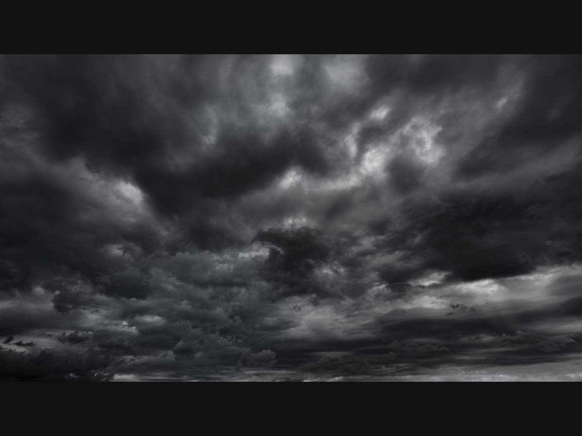
Forecasters are tracking another winter storm, which could impact the Chicago region on Friday.

ILLINOIS — An "active weather pattern" is forecast for the rest of this week, with multiple chances for snow, according to the National Weather Service. Forecasters are also tracking another winter storm to close out the week on Friday.
First, on Wednesday, some light snow is possible in the evening and overnight. Slick travel is possible, mainly north of Interstate 80, the weather service said.
Wednesday will have a high of 33 degrees, followed by a high of 34 on Thursday. There could be another burst of snow overnight on Thursday, according to the weather service forecast.
Find out what's happening in Across Illinoisfor free with the latest updates from Patch.

There is a potential for "heavy snow and significant accumulations," with the winter storm on Friday afternoon and evening. However, there are still uncertainties in the track of the storm, the weather service said.
After the possible winter storm at the end of the week, temperatures will be much colder. The high for Saturday is 23 degrees, with single-digit wind chills expected. On Saturday night, wind chills could be 20 below zero.
Find out what's happening in Across Illinoisfor free with the latest updates from Patch.
Sunday is expected to be even colder with a high of 7, and Monday will have a high of 2 degrees, according to the weather service.
Get more local news delivered straight to your inbox. Sign up for free Patch newsletters and alerts.