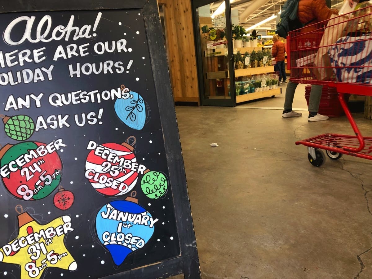
Weather
'Gray Christmas': Rain And Fog, But Big Warmup Expected For Chicago Area
Here's how warm it's expected to be on Christmas Day.

A White Christmas may not be in the cards any longer, but the National Weather Service said a "gray Christmas" may be more likely.
"We'll be positioned north of a warm front, leading to periods of drizzle and fog," the weather service said on its Facebook.
Monday will have a high of 44, and highs in the 50s are forecast for Tuesday, Wednesday and Thursday. No snow is in the forecast this week, but rain or drizzle is possible Monday, Wednesday and Thursday.
Find out what's happening in Across Illinoisfor free with the latest updates from Patch.

"We should find temperatures largely in the 40s and 50s on Christmas Eve and Christmas Day, along with periods of fog and drizzle," the weather service said.
The weather service noted that forecast high temperatures for Christmas are "optimistic," and may need adjustments downward as we get closer.
Find out what's happening in Across Illinoisfor free with the latest updates from Patch.
The weather service is predicting a high of 55 for Christmas Day. AccuWeather is forecasting a high of 52 for Christmas Day, stating, "feeling more like spring than Christmas."
According to the weather service, the warmest Christmas Day was in 1982, when it was 64 degrees. The second-warmest Christmas Day was in 2023, with a high of 59; followed by the third-warmest in 2019 with 57 degrees.
Here is a more detailed look at the weather for this week, per the weather service:
MONDAY: A slight chance of sprinkles after 2 p.m. Mostly cloudy, with a high near 42. South wind 10 to 15 mph, with gusts as high as 25 mph.
MONDAY NIGHT: Mostly cloudy, with a low around 36. Southwest wind around 10 mph, with gusts as high as 15 mph.
TUESDAY: Partly sunny, with a high near 46. West northwest wind 5 to 10 mph.
TUESDAY NIGHT: Mostly cloudy, with a low around 31. Northwest wind around 5 mph becoming calm. Winds could gust as high as 10 mph.
WEDNESDAY: A 30 percent chance of showers with intermittent drizzle after noon. Cloudy, with a high near 42. Southeast wind 5 to 10 mph, with gusts as high as 15 mph.
WEDNESDAY NIGHT: Showers likely with intermittent drizzle before midnight, then patchy drizzle with a chance of showers after midnight. Patchy fog. Otherwise, cloudy, with a low around 42. Chance of precipitation is 60 percent.
CHRISTMAS DAY: Patchy drizzle before noon, then patchy drizzle with a slight chance of showers after noon. Patchy fog before 1 p.m. Otherwise, mostly cloudy, with a high near 47. Chance of precipitation is 20 percent.
THURSDAY NIGHT: Patchy drizzle with a chance of showers. Mostly cloudy, with a low around 47.
FRIDAY: Mostly sunny, with a high near 54.
FRIDAY NIGHT: Mostly cloudy, with a low around 36.
Get more local news delivered straight to your inbox. Sign up for free Patch newsletters and alerts.