Weather
Storm Warning For Will County, Tornado Watch Still In Effect
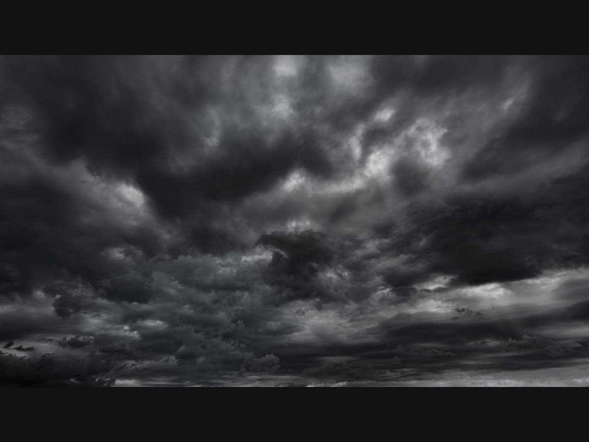
The tornado watch is in effect until 8 p.m. Tuesday.

ILLINOIS — A tornado watch has been issued for the Chicago area, as scattered storms will redevelop on Tuesday afternoon, and there is an "increasing threat for severe weather," the National Weather Service said.
A severe thunderstorm warning was issued for areas of Will and Cook counties until 2:45 p.m. Tuesday. A severe storm was located over Homer Glen at 2:09 p.m., moving northeast at 55 mph.
Wind gusts of 60 mph and quarter-sized hail is possible with the storm. Nickel-sized hail was reported with this storm in Channahon and Joliet, the weather service said.
Find out what's happening in Across Illinoisfor free with the latest updates from Patch.
Locations impacted include Chicago, Joliet, Cicero, Orland Park, Tinley Park, Oak Lawn, Berwyn, Oak Park, Calumet City, West Town, Chicago Lawn, Englewood, South Shore, Roseland, Lincoln Park, Bridgeport, Chicago Loop, South Lawndale, Lake View, Midway Airport, Austin, Burbank, Lansing, Oak Forest and Harvey.
The tornado watch is in effect until 8 p.m. Tuesday for most of northern Illinois including Cook, DeKalb, DuPage, Grundy, Kane, Kankakee, Kendall, Lake, La Salle, McHenry and Will counties.
Find out what's happening in Across Illinoisfor free with the latest updates from Patch.
The storms will develop ahead of a cold front, and could bring severe weather to the area through 5 p.m., according to the weather service.

The primary threat appears to be damaging to locally destructive hail, the weather service said. There is also a possibility for localized straight line wind damage, and downpours could cause ponding on some roads.
There is also a threat of tornadoes, especially near and east of Interstate 57 in eastern Illinois and in northwest Indiana.
Get more local news delivered straight to your inbox. Sign up for free Patch newsletters and alerts.