Weather
Severe Storm Watch Issued For Lake, McHenry
A severe storm warning for southeastern Cook and north central Will County is in effect until 3:15 p.m.

ILLINOIS — Parts of far northern Illinois are under a severe thunderstorm watches and warnings on Monday afternoon, as severe weather is possible.
Boone, DeKalb, Kane, Lake, Lee, McHenry, Ogle and Winnebago counties are under the watch until 5 p.m. Monday, according to the weather service.
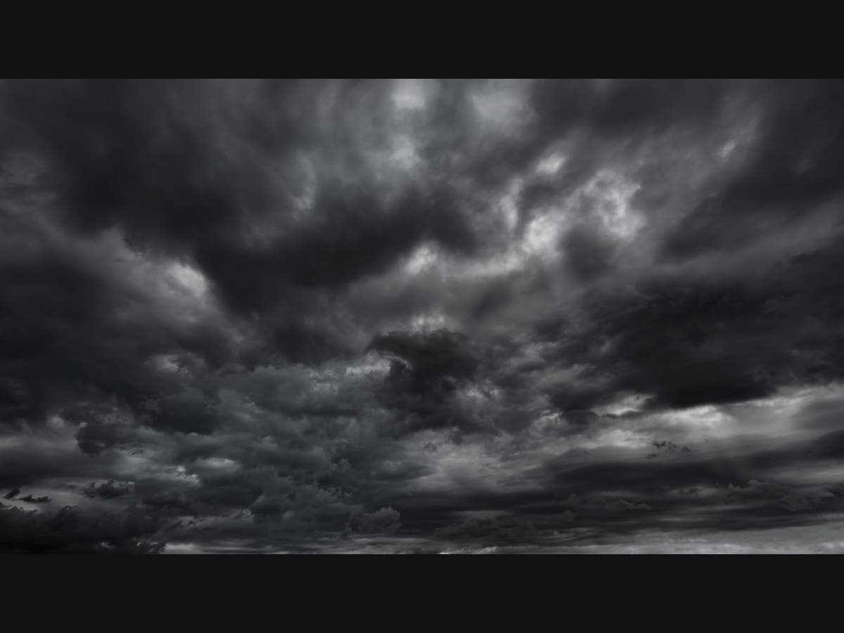
Severe storms are possible both Monday and Tuesday, as summer-like temperatures stick around in the Chicago area.
Find out what's happening in Across Illinoisfor free with the latest updates from Patch.
A severe storm warning for southeastern Cook and north central Will County is in effect until 3:15 p.m.
Monday's high will be 88 degrees, and Tuesday will be even hotter with a high of 91.
Find out what's happening in Across Illinoisfor free with the latest updates from Patch.
First, scattered storms are likely on Monday afternoon into the evening. The weather service said a few storms could be severe, with threats of large hail and locally damaging winds.
The highest probabilities of severe weather look to be north of Interstate 80.

On Tuesday, there is a chance for storms in the morning, mainly northwest of I-55, according to the weather service. Storms are possible again across the area on Tuesday afternoon.
"If any storms do occur during the day on Tuesday, the threat of severe weather appears rather low," the weather service said.
Storms are also expected Tuesday evening into the night. Some of these storms could be severe, with damaging winds and even a brief tornado, according to the weather service. The highest severe weather risk would be from 7 p.m. to 1 a.m. Tuesday, especially over northwest Illinois.
Get more local news delivered straight to your inbox. Sign up for free Patch newsletters and alerts.