Weather
Severe Thunderstorm Warning Issued For Will, Kendall, DuPage Counties
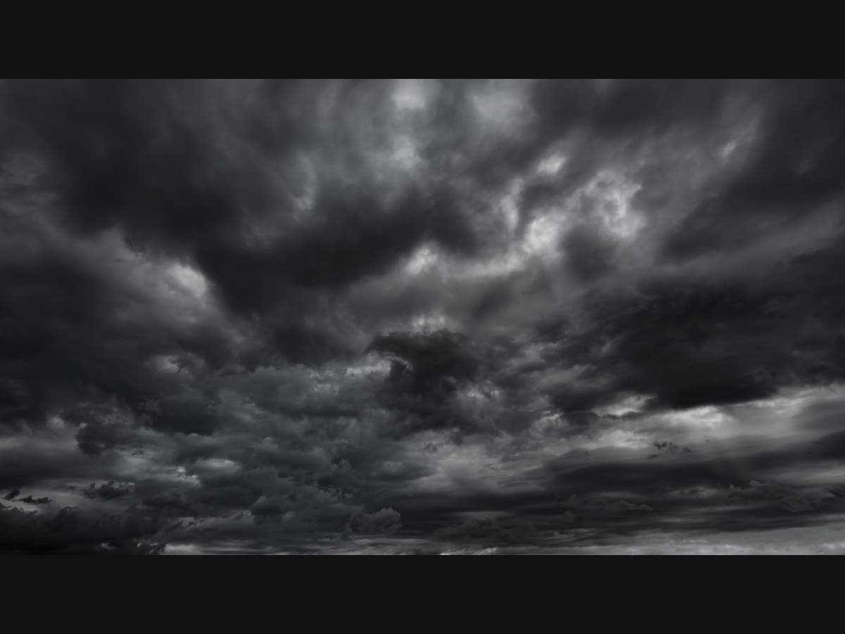
Winds could gust up to 60 MPH as severe weather that could produce tornadoes for parts of Illinois settles in for the evening hours.

ILLINOIS —With tornado watches in other parts of the state, severe weather was also hitting the Chicago area on Wednesday. The National Weather Service issued a severe storm warning for Will, Kendall, and DuPage counties until 4:45 p.m.
Forecasters are predicting severe weather throughout the evening, as winds could gust as high as 60 MPH in some areas. Storms could remain in the area throughout the evening on Wednesday and into the overnight hours before moving out Thursday.
Severe storms could hit areas including Naperville, Romeoville, Bolingbrook, Woodridge, Wheaton, Downers Grove, Lisle, Darien, Clarendon Hills and Glen Ellyn, the weather service said Wednesday afternoon.
Find out what's happening in Across Illinoisfor free with the latest updates from Patch.
Most of the severe weather and the chance for hail and high winds that could down trees and power lines and possibly produce isolated tornadic activity is expected to remain south of Chicago, forecasters said.
Some areas in southern suburban areas could see the brunt of the hail and storms that accompany the unsettled weather pattern that is expected to move in and out of the region during the evening hours on Wednesday. Forecasters said most of the isolated tornadic activity will remain south of I-80.
Find out what's happening in Across Illinoisfor free with the latest updates from Patch.
An approaching cold front will bring drier weather and sunshine for Thursday, forecasters said, but temperatures will drop by 20 degrees, and high temperatures on Thursday are only expected to reach the low 50s.
Get more local news delivered straight to your inbox. Sign up for free Patch newsletters and alerts.