Weather
Blizzard Conditions Possible Friday, Winter Storm Watch Issued For IL
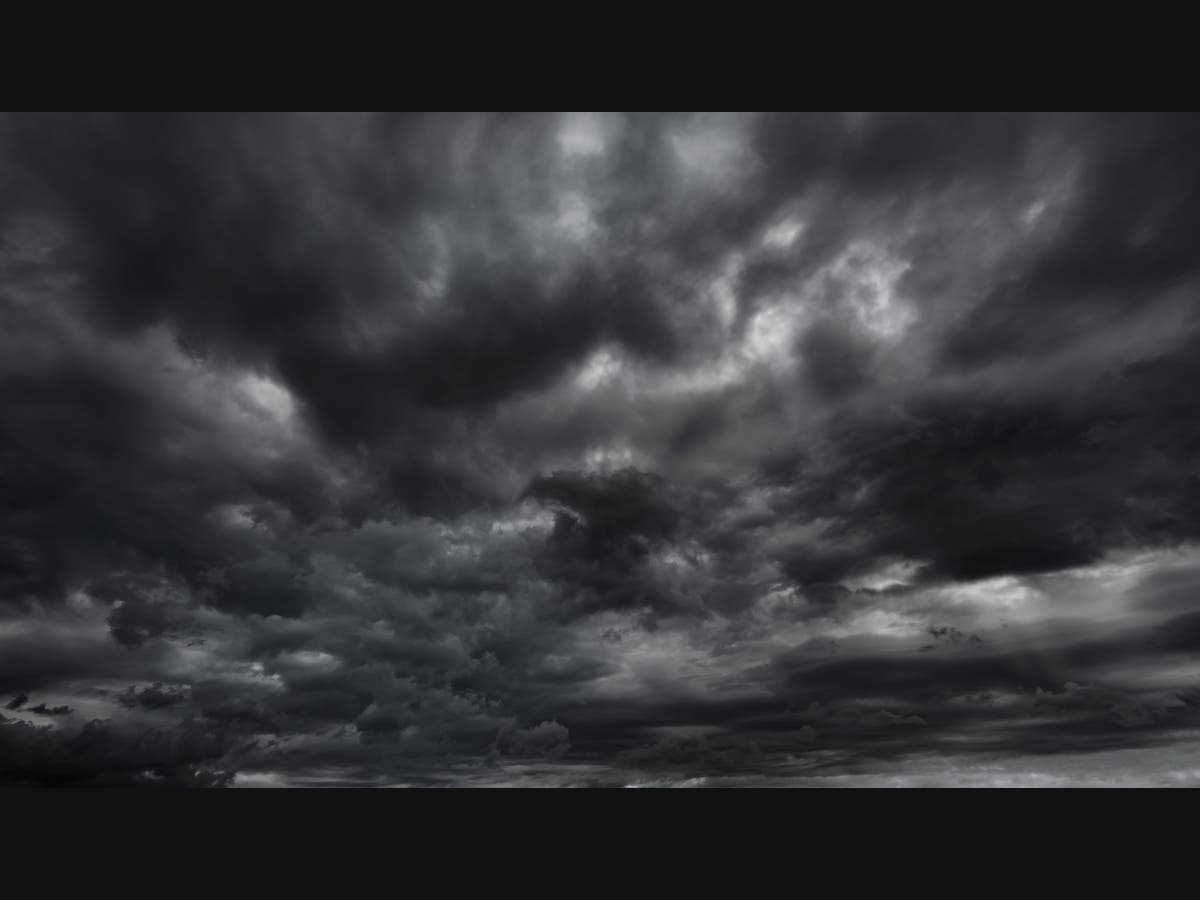
Snow accumulations greater than 6 inches are possible, as well as wind gusts up to 50 mph.

ILLINOIS — The National Weather Service has already issued winter storm watches for the Chicago area ahead of a winter storm that could bring blizzard conditions on Friday.
The watch is in effect from 6 a.m. Friday until noon on Saturday for McHenry, Lake, Kane, DuPage, Kankakee Cook and Will counties. A watch begins late Thursday night through Saturday for Winnebago, Boone, Ogle, Lee, DeKalb, La Salle, Kendall and Grundy counties.

With this storm, the weather service said heavy snow and blowing snow are possible. Accumulations could be greater than 6 inches, and winds could gust as high as 50 mph.
Find out what's happening in Across Illinoisfor free with the latest updates from Patch.
Winds could bring the potential for periods of blizzard conditions, specifically Friday evening into early Saturday, the weather service said. Travel could be dangerous, and conditions will most likely impact both the Friday morning and evening commute.
After the winter storm at the end of the week, temperatures will be much colder. The high for Saturday is 23 degrees, with single-digit wind chills expected. On Saturday night, wind chills could be 20 below zero.
Find out what's happening in Across Illinoisfor free with the latest updates from Patch.
Sunday is expected to be even colder with a high of 7, and Monday will have a high of 2 degrees, according to the weather service.
Get more local news delivered straight to your inbox. Sign up for free Patch newsletters and alerts.