Weather
10+ Inches Of Snow Possible For Southern MN, Less For Twin Cities
Snow will spread in Friday evening and continue through Saturday night, with the heaviest totals along and south of the I-90 corridor, forec


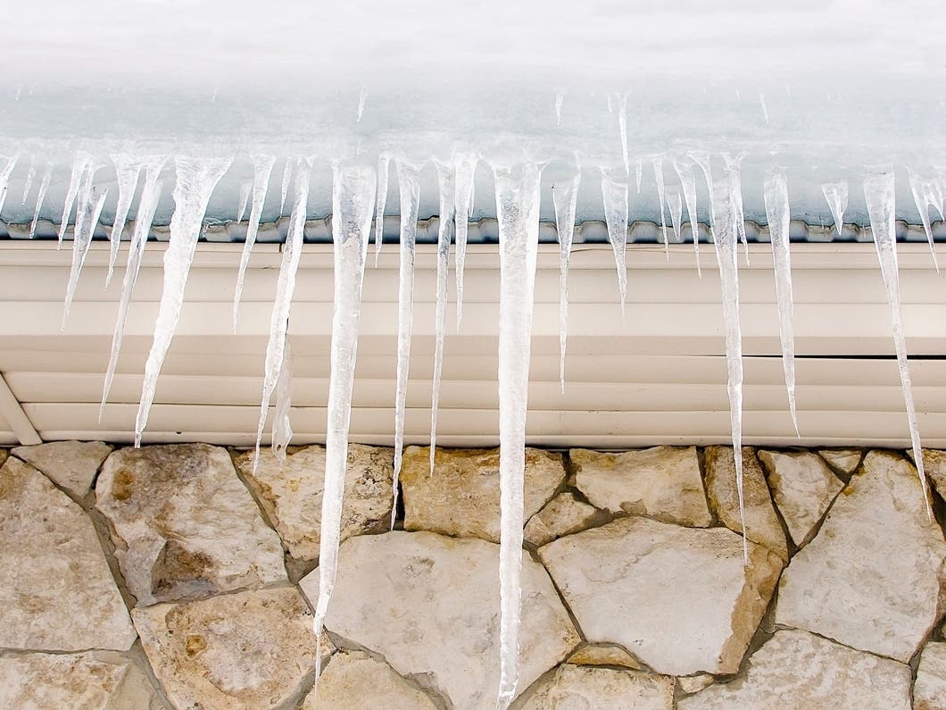
MINNESOTA — A long-duration snowfall event is expected to bring several inches of accumulation to southern Minnesota and parts of western Wisconsin from Friday evening through late Saturday, with the National Weather Service warning of slick, hazardous travel across the region.
Snow will develop in the Dakotas Friday morning before spreading into southwestern Minnesota late in the afternoon. It will gradually move east across southern Minnesota and into western Wisconsin Friday night through Saturday evening.
Forecasters say the heaviest snow will fall along and south of a Redwood Falls–Le Sueur–Cannon Falls line, where more than 6 inches of accumulation is likely. The Interstate 90 corridor will see the highest totals, with some areas potentially reaching 10 inches by the time the storm ends early Sunday.
Find out what's happening in Minneapolisfor free with the latest updates from Patch.


Lighter amounts are expected farther north, including the Twin Cities metro, where 3 to 6 inches of snow is forecast.
Warnings and Advisories
Winter Storm Warnings now cover a large section of southern Minnesota, including:
Find out what's happening in Minneapolisfor free with the latest updates from Patch.
Redwood, Brown, Nicollet, Le Sueur, Rice, Watonwan, Blue Earth, Waseca, Steele, Martin, Faribault, and Freeborn counties: 7 to 10 inches expected from 6 p.m. Friday through late Saturday night.
Goodhue County: 6 to 8 inches expected from midnight Friday to early Sunday morning.
Winter Weather Advisories are in effect for:
Renville, Sibley, Chippewa, Lac Qui Parle, Swift, and Yellow Medicine counties — 4 to 6 inches expected.
Hennepin, Ramsey, Dakota, Scott, Washington, Carver, McLeod, Wright, Meeker, and Kandiyohi counties: 3 to 6 inches expected from midnight Friday through Saturday night.
Pierce, St. Croix, Dunn, Pepin, Chippewa, and Eau Claire counties in Wisconsin: 4 to 6 inches expected Saturday into early Sunday.
Travel Impacts
The long duration of the storm, rather than short bursts of heavy snow, will lead to gradually worsening road conditions. The Friday evening commute in southern Minnesota may be significantly affected, forecasters said.
Bridges, ramps, and overpasses will become slick first, and visibility may drop at times as snowfall intensifies.
“Travel could be very difficult,” the NWS warned, urging drivers to allow extra time and use caution, especially Friday night through Saturday night.
What Drivers Should Do
- Slow down and expect slippery roads
- Leave extra space between vehicles
- Be prepared for sudden changes in visibility
- Keep an emergency kit in your vehicle
- Check updated road conditions at 511mn.org or 511wi.gov
Snow is expected to taper off across the region late Saturday night into early Sunday morning.
Here's the full NWS forecast from the Minneapolis-St. Paul Airport:
Tonight: A 50 percent chance of snow, mainly after 11pm. Cloudy, with a low around 22. East wind around 5 mph. New snow accumulation of less than a half inch possible.
Saturday: Snow. High near 24. East northeast wind 10 to 15 mph. Chance of precipitation is 100%. New snow accumulation of 1 to 3 inches possible.
Saturday Night: Snow, mainly before 9pm. Low around 16. North northwest wind 10 to 15 mph. Chance of precipitation is 80%. New snow accumulation of less than a half inch possible.
Sunday: Mostly sunny, with a high near 20. Northwest wind 10 to 15 mph.
Sunday Night: Mostly cloudy, with a low around 5. West northwest wind 5 to 10 mph.
Monday: Partly sunny, with a high near 17. South southwest wind 5 to 10 mph.
Monday Night: Mostly cloudy, with a low around 9. South southwest wind 5 to 10 mph.
Tuesday: Mostly cloudy, with a high near 23. South southwest wind 5 to 10 mph.
Tuesday Night: Mostly cloudy, with a low around 13. South wind 5 to 10 mph becoming west after midnight.
Wednesday: Mostly cloudy, with a high near 23. Northwest wind around 10 mph.
Wednesday Night: Mostly cloudy, with a low around 3. Northwest wind around 10 mph.
Thursday: Mostly sunny, with a high near 19. West northwest wind around 10 mph becoming south southwest in the afternoon.
Get more local news delivered straight to your inbox. Sign up for free Patch newsletters and alerts.