Weather
Heavy Snow And 50 MPH Winds Could Snarl Minnesota’s Tuesday Commute
The National Weather Service said a sharp rain-snow line could bring heavy snow north of Interstate 94 and strong winds statewide on Tuesday


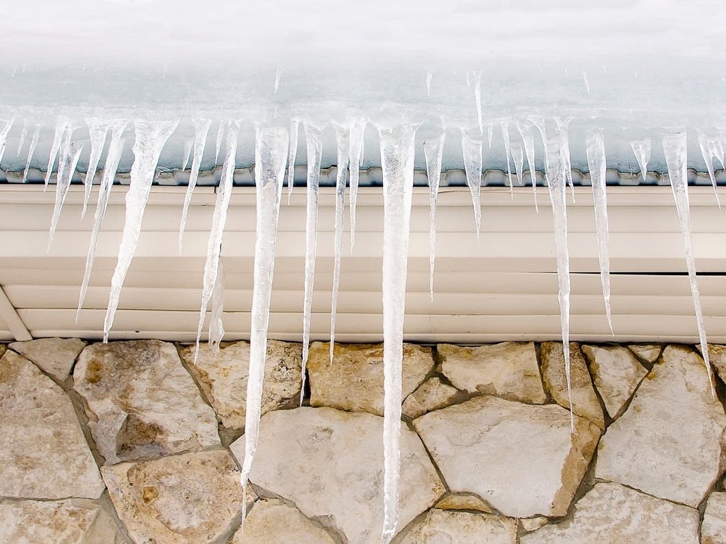
ST. PAUL, MN — Another winter storm is lining up for Minnesota, and this one brings a messy mix of rain, heavy snow, and strong winds that could snarl travel Tuesday afternoon and evening.
A Winter Storm Watch covers much of central Minnesota and the Twin Cities, including Anoka, Ramsey, and Washington counties, and extends into western Wisconsin through Polk, St. Croix, Pierce, Dunn, Chippewa, and Eau Claire counties.
Light snow will fall at times Monday, but the main system arrives Tuesday and will feature a sharp rain-to-snow transition that cuts directly across central Minnesota into western Wisconsin.
Find out what's happening in Minneapolisfor free with the latest updates from Patch.

Forecasters expect a very tight snowfall gradient along that line, meaning conditions may change dramatically over just a few miles. Areas from roughly Little Falls to Eau Claire sit within the transition zone, where a shift in the storm track of even a few miles could significantly change snowfall totals.
North of the rain-snow line, a narrow band of heavy snow is expected to develop, with 4 to 7 inches possible Tuesday afternoon through late Tuesday night. The heaviest precipitation is expected between noon and 10 pm Tuesday. Rain is more likely south of I-94, but forecasters note that a small ribbon of sleet or freezing rain may briefly form right where rain flips to snow.
Find out what's happening in Minneapolisfor free with the latest updates from Patch.

Strong winds will add to the hazards. Gusts of 40 to 50 mph are possible Tuesday evening and overnight, especially from west central through south central Minnesota. Blowing snow could make travel difficult in areas that fall under the heavier band.
Temperatures will briefly climb into the 30s on Tuesday south of I-94 before dropping sharply again midweek. Much colder air returns Wednesday through the weekend, along with periodic chances for light snow.
The National Weather Service says travel could be impacted during the Tuesday evening commute and urges Minnesotans to monitor updated forecasts as the storm track becomes clearer.
Here's the full NWS forecast from the Minneapolis-St. Paul Airport:
Today: A 30 percent chance of snow, mainly after 5pm. Mostly cloudy, with a high near 26. South wind 10 to 15 mph.
Tonight: A 40 percent chance of snow, mainly before 11pm. Cloudy, with a temperature rising to around 27 by 2am. South wind 10 to 15 mph becoming west after midnight.
Tuesday: Snow, possibly mixed with freezing rain before 1pm, then snow between 1pm and 3pm, then rain and snow after 3pm. High near 35. West wind 5 to 15 mph becoming south southeast in the afternoon. Winds could gust as high as 25 mph. Chance of precipitation is 90%. Little or no ice accumulation expected. New snow accumulation of less than a half inch possible.
Tuesday Night: Snow, possibly mixed with rain, becoming all snow after midnight. Patchy blowing snow after 11pm. Low around 19. Blustery, with a south southwest wind 15 to 25 mph becoming north northwest after midnight. Winds could gust as high as 35 mph. Chance of precipitation is 90%. New snow accumulation of less than one inch possible.
Wednesday: A 20 percent chance of snow before noon. Mostly cloudy, with a high near 24. Blustery, with a north northwest wind 15 to 20 mph, with gusts as high as 30 mph.
Wednesday Night: Mostly cloudy, with a low around 3. West northwest wind 5 to 10 mph.
Thursday: A 30 percent chance of snow, mainly after noon. Mostly cloudy, with a high near 14. West northwest wind 5 to 10 mph.
Thursday Night: A 30 percent chance of snow, mainly after midnight. Mostly cloudy, with a low around 0. West northwest wind around 10 mph.
Friday: A 20 percent chance of snow before noon. Mostly cloudy, with a high near 8. West northwest wind around 15 mph, with gusts as high as 25 mph.
Friday Night: Partly cloudy, with a low around -11. West northwest wind 10 to 15 mph.
Saturday: Partly sunny and cold, with a high near 2. West northwest wind around 10 mph.
Saturday Night: A 20 percent chance of snow. Mostly cloudy, with a low around -9. West northwest wind 5 to 10 mph.
Sunday: Partly sunny, with a high near 15. South wind 5 to 10 mph.
Get more local news delivered straight to your inbox. Sign up for free Patch newsletters and alerts.