Weather
Updated Snowfall Totals: Hours Of Snow Set To Slam Minnesota Through Tonight
Snow will build through the afternoon and evening, with the heaviest bands parked over southern Minnesota and northern Iowa.


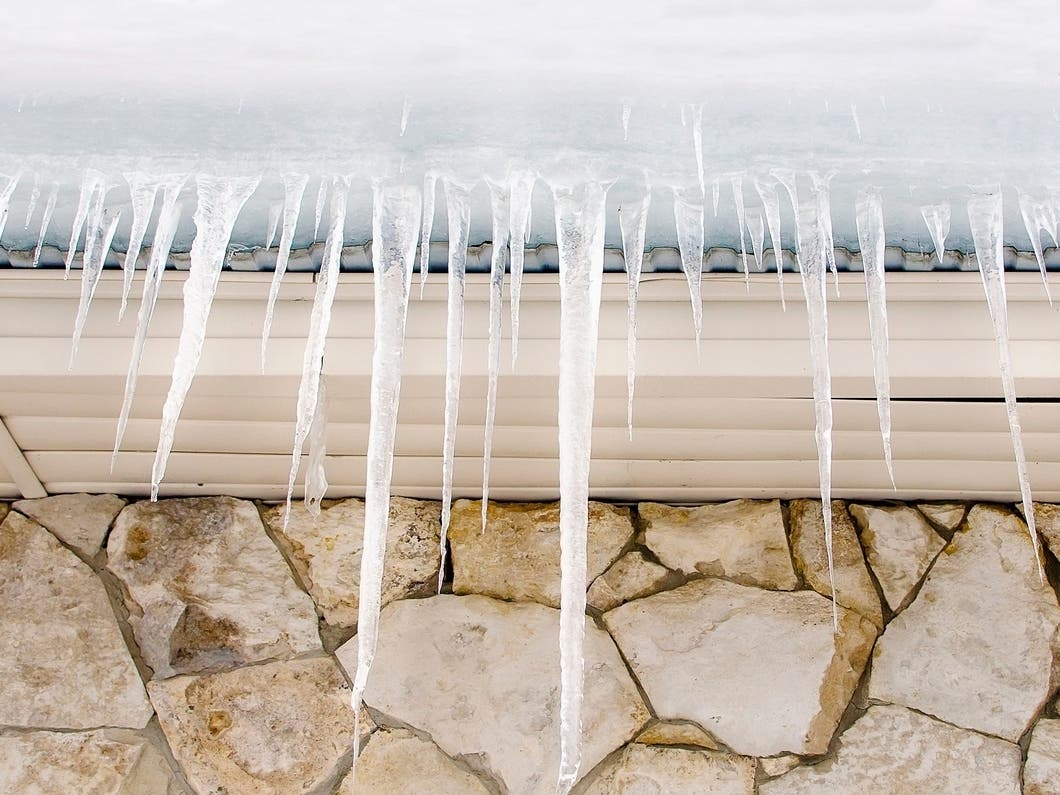
MINNESOTA — A long-duration snow event continues across Minnesota and western Wisconsin Saturday, with the heaviest totals targeting the southern part of the state, according to the National Weather Service.
Light to moderate snow will persist through the afternoon and evening before tapering off from west to east overnight.
While snowfall rates aren’t expected to be particularly high, the storm’s long duration will allow totals to steadily accumulate, especially in southern Minnesota.
Find out what's happening in Minneapolisfor free with the latest updates from Patch.

Heaviest Snow South: 6–10 Inches Possible
Forecasters say the most significant snow will fall near and south of the Interstate 90 corridor, where 6 to 10 inches are expected by late tonight.
Cities like Albert Lea, Fairmont, Worthington, Rochester, and La Crosse carry high probabilities of exceeding 6 inches, with some locations holding a small chance of reaching double-digit totals.
Find out what's happening in Minneapolisfor free with the latest updates from Patch.

Farther north, including the Twin Cities metro, St. Cloud, and western Wisconsin, amounts will be lighter:
- Twin Cities: 2 to 4 inches (3 inches expected)
- Hutchinson, Willmar, Rice Lake: 2 to 4 inches
- Redwood Falls, Red Wing: 4 to 6 inches
- Eau Claire: 4 to 6 inches
- Cambridge, St. Cloud, Hinckley: Around 1 inch
The National Weather Service notes a “sharp northern cutoff” on the north edge of the snow shield, meaning totals drop quickly the farther north you go.
Lull This Morning, More Snow This Afternoon
A lull in snowfall this morning reduced early accumulation north of the warning area. Forecasters say most advisory locations won’t pick up their main accumulation until this afternoon and early evening as steadier snow returns.
Snow ratios indicate a fluffier snow, though settling and compaction could influence final measurements.
Advisories and Warnings
A Winter Weather Advisory remains in effect for the Twin Cities area and counties from Kandiyohi through Washington until midnight. Those areas are expected to see 1 to 3 inches.
A Winter Storm Warning covers the southern tier of Minnesota, where several more inches are likely through tonight.
Winds: 20–30 MPH Gusts
Although not as strong as the midweek storm, winds will pick up through the day:
- Sustained winds: 10–15 mph
- Gusts: 20–30 mph
- Strongest winds: Southern Minnesota
Blowing snow may create reduced visibility at times, mainly in open areas.
Travel Impacts
The NWS urges drivers to slow down, allow extra travel time, and expect slippery or snow-covered roads, especially in southern Minnesota, where moderate snowfall may continue for much of the afternoon and evening.
Here's the full NWS forecast from the Minneapolis-St. Paul Airport:
Today: Snow. High near 25. East northeast wind 10 to 15 mph. Chance of precipitation is 90%. Total daytime snow accumulation of 2 to 4 inches possible.
Tonight: Snow, mainly before 10pm. Low around 18. North northwest wind around 15 mph, with gusts as high as 30 mph. Chance of precipitation is 90%. New snow accumulation of around an inch possible.
Sunday: Mostly sunny, with a high near 21. Northwest wind 10 to 15 mph, with gusts as high as 30 mph.
Sunday Night: Mostly cloudy, with a low around 5. West northwest wind 5 to 10 mph becoming southwest after midnight.
Monday: Mostly cloudy, with a high near 20. South southwest wind 5 to 10 mph.
Monday Night: Mostly cloudy, with a low around 10. Southwest wind 5 to 10 mph.
Tuesday: Mostly cloudy, with a high near 22. South southwest wind 5 to 10 mph.
Tuesday Night: A 30 percent chance of snow after midnight. Mostly cloudy, with a low around 14. South wind around 10 mph becoming west northwest after midnight.
Wednesday: A 20 percent chance of snow before noon. Cloudy, then gradually becoming mostly sunny, with a high near 21. North northwest wind 10 to 15 mph.
Wednesday Night: Partly cloudy, with a low around -2. Northwest wind around 10 mph becoming west southwest after midnight.
Thursday: Mostly sunny, with a high near 18. South southwest wind around 10 mph.
Thursday Night: A 20 percent chance of snow. Mostly cloudy, with a low around 11. Southwest wind around 10 mph.
Friday: Mostly cloudy, with a high near 25. West southwest wind around 10 mph.
Get more local news delivered straight to your inbox. Sign up for free Patch newsletters and alerts.