Weather
Snow, Ice Start This Afternoon: Twin Cities Commute Could Turn Hazardous
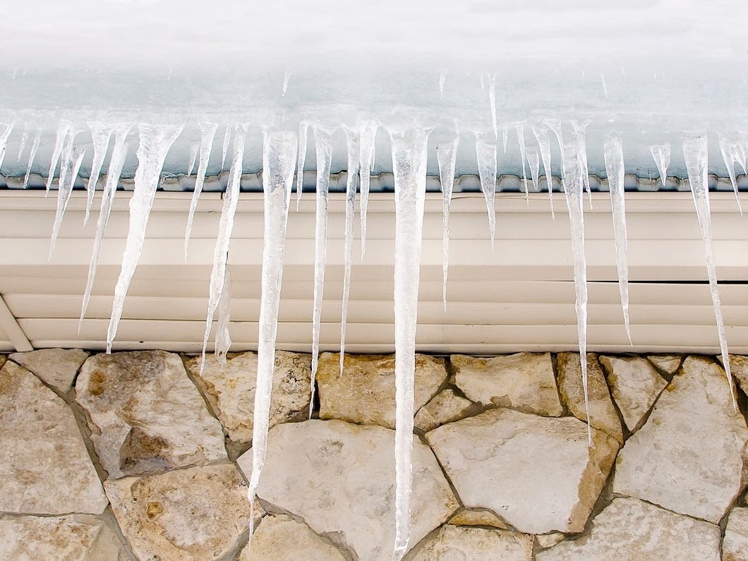
Snow begins after 3 p.m. with a brief icy mix during peak travel. Winds up to 35 mph tonight could worsen road conditions.


MINNEAPOLIS, MN — A quick-moving winter storm will bring snow, freezing rain, and strong winds to the Twin Cities beginning this afternoon and continuing into early Wednesday, according to the National Weather Service.
Snow is expected to begin in the metro early to mid-afternoon, with the steadiest precipitation falling between 3 p.m. and 9 p.m. A brief mix with freezing rain is possible around 4 to 6 p.m., during the heart of the evening commute.

Most of the Twin Cities will see 1 to 3 inches of snow, along with a light glaze of ice. North of Interstate 94, a narrow band of 4 to 7 inches is possible, including areas from St. Cloud to Cambridge and into western Wisconsin.
Find out what's happening in Minneapolisfor free with the latest updates from Patch.
Rain may mix in early Tuesday night, mainly before 10 p.m., before colder air changes everything back to snow. Additional nighttime accumulation is expected to stay under an inch.

Winds will increase sharply this evening as the storm pulls away. Gusts may reach 35 mph, creating patchy blowing snow after 10 p.m. Temperatures will fall into the lower 20s overnight and continue dropping through the day Wednesday.
Find out what's happening in Minneapolisfor free with the latest updates from Patch.
Snow will end from west to east by Wednesday morning, but roads may remain slick, especially north of the metro where heavier totals are possible.

Here's the full NWS forecast from the Minneapolis-St. Paul Airport:
Today: Snow before 4pm, then snow, possibly mixed with freezing rain between 4pm and 5pm, then snow after 5pm. High near 32. West wind 5 to 15 mph becoming southeast in the afternoon. Winds could gust as high as 30 mph. Chance of precipitation is 100%. Little or no ice accumulation expected. Total daytime snow accumulation of 1 to 3 inches possible.
Tonight: Rain, possibly mixed with snow before 7pm, then rain between 7pm and 10pm, then snow likely after 10pm. Patchy blowing snow after 10pm. Low around 21. Blustery, with a south southeast wind 10 to 15 mph becoming north northwest 15 to 20 mph in the evening. Winds could gust as high as 35 mph. Chance of precipitation is 90%. New snow accumulation of less than one inch possible.
Wednesday: Patchy blowing snow before 7am. Mostly cloudy, with a temperature falling to around 18 by 5pm. Blustery, with a north northwest wind 15 to 20 mph decreasing to 10 to 15 mph in the afternoon. Winds could gust as high as 35 mph.
Wednesday Night: Mostly cloudy, with a low around 5. Northwest wind 5 to 10 mph becoming light after midnight.
Thursday: A 30 percent chance of snow, mainly after noon. Mostly cloudy, with a high near 17. Calm wind becoming west northwest around 5 mph in the afternoon.
Thursday Night: A 50 percent chance of snow. Mostly cloudy, with a low around 4. West wind 5 to 10 mph. New snow accumulation of less than a half inch possible.
Friday: A 30 percent chance of snow before noon. Mostly cloudy, with a temperature rising to near 12 by 10am, then falling to around 5 during the remainder of the day. West northwest wind 10 to 15 mph, with gusts as high as 25 mph.
Friday Night: Mostly cloudy, with a low around -9. West northwest wind 10 to 15 mph.
Saturday: A 20 percent chance of snow. Mostly cloudy and cold, with a high near 1. Northwest wind around 10 mph.
Saturday Night: Partly cloudy, with a low around -14. West northwest wind 5 to 10 mph.
Sunday: Mostly sunny, with a high near 7. West northwest wind 5 to 10 mph becoming south in the afternoon.
Sunday Night: Mostly cloudy, with a low around -2. South southeast wind around 10 mph.
Monday: Partly sunny, with a high near 19. South wind around 10 mph becoming west northwest in the afternoon.
Get more local news delivered straight to your inbox. Sign up for free Patch newsletters and alerts.