Weather
Wind Chills 20 Below Expected In Minnesota As Arctic Air Arrives
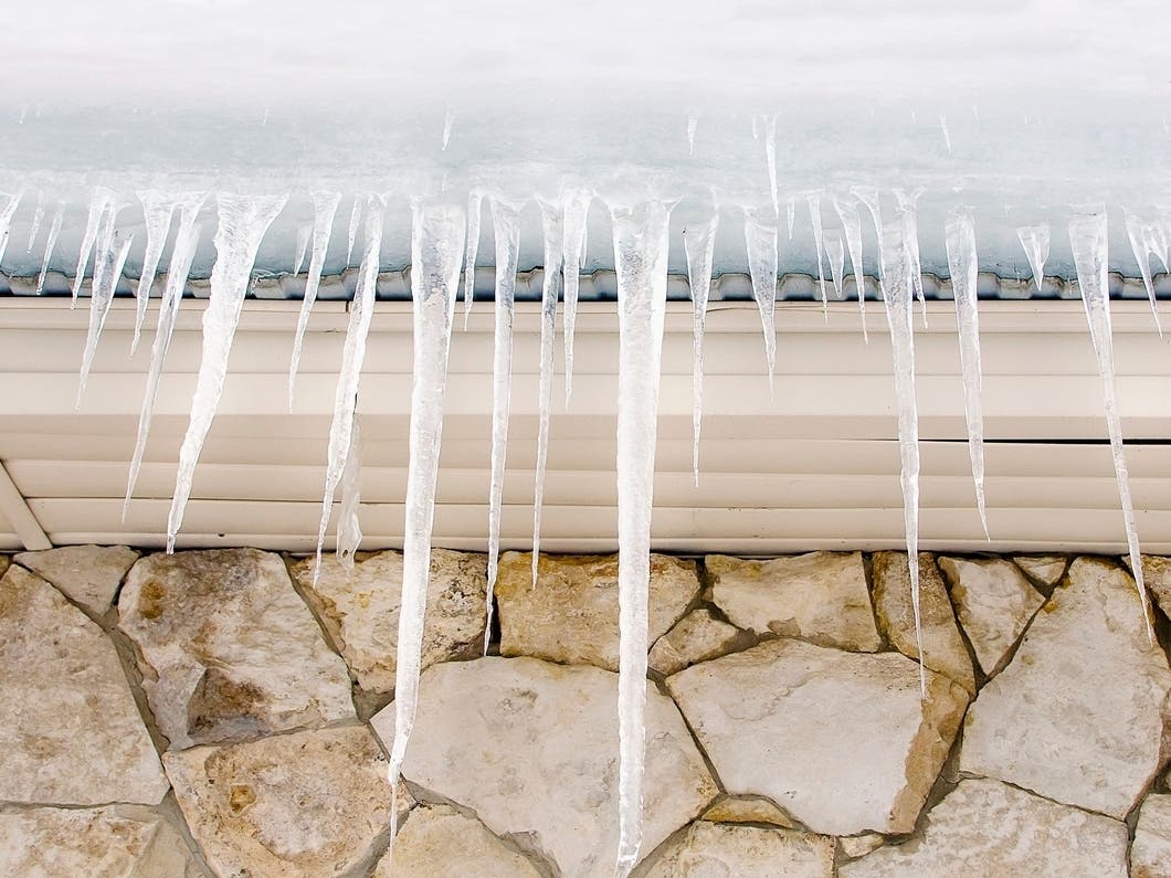
Forecasters say Minnesota will see dangerous wind chills as temperatures fall well below zero.

MINNEAPOLIS, MN — A brief round of light snow Thursday gives way to a sharp temperature plunge across Minnesota, with the coldest air of the season expected to settle in Friday night through Sunday morning.
"A cold front arrives Friday morning bringing more flurries and gusty winds," the National Weather Service said. "Very cold air arrives by Friday night, lasting into Sunday with wind chills being hazardous during this time."

Wind chill values are likely to fall past 20 below zero, with actual lows dipping well below zero Saturday and Sunday.
Find out what's happening in Minneapolisfor free with the latest updates from Patch.
The Twin Cities will see temperatures fall from the teens Friday morning to single digits by afternoon, followed by a low near 8 below overnight. Wind gusts could reach 25 to 30 mph, making conditions feel even colder.
Saturday is expected to bring a high near 2 below, with temperatures crashing toward 17 below Saturday night. The NWS notes that this stretch of dangerously cold air will be widespread across central and southern Minnesota and into western Wisconsin.
Find out what's happening in Minneapolisfor free with the latest updates from Patch.
Before the cold sets in, a weak system will bring light snow mainly south of Interstate 94 on Thursday, with 1 to 2 inches possible in southwestern Minnesota. Only minor or no accumulation is expected in the Twin Cities.
Conditions will be moderate early next week, with highs rebounding into the 20s Monday and near freezing by Tuesday.
Here's the full NWS forecast from the Minneapolis-St. Paul Airport:
Today: A chance of flurries before noon. Cloudy, with a high near 19. Calm wind becoming southeast around 5 mph in the afternoon.
Tonight: A 30 percent chance of snow after 5am. Cloudy, with a low around 13. East wind around 5 mph becoming calm in the evening.
Friday: Snow likely, mainly before 9am. Cloudy, with a temperature rising to near 17 by 10am, then falling to around 7 during the remainder of the day. Wind chill values as low as -12. West northwest wind 5 to 10 mph increasing to 10 to 15 mph in the afternoon. Winds could gust as high as 30 mph. Chance of precipitation is 70%. New snow accumulation of less than a half inch possible.
Friday Night: Mostly cloudy, with a low around -8. Wind chill values as low as -25. West northwest wind 10 to 15 mph, with gusts as high as 25 mph.
Saturday: Mostly sunny and cold, with a high near -2. West northwest wind 10 to 15 mph.
Saturday Night: Mostly clear, with a low around -17. Northwest wind 5 to 15 mph.
Sunday: Mostly sunny, with a high near 6. West northwest wind 5 to 10 mph becoming south in the afternoon.
Sunday Night: Mostly cloudy, with a temperature falling to near -1 by 9pm, then rising to around 10 during the remainder of the night. South wind 10 to 15 mph.
Monday: Mostly sunny, with a high near 24. South southwest wind around 10 mph becoming west northwest in the afternoon.
Monday Night: Mostly cloudy, with a low around 11. West wind 5 to 10 mph becoming south after midnight.
Tuesday: Partly sunny, with a high near 34. South wind 10 to 15 mph.
Tuesday Night: Mostly cloudy, with a low around 24. West wind around 10 mph.
Wednesday: Partly sunny, with a high near 33. West wind around 10 mph becoming south in the afternoon.
Get more local news delivered straight to your inbox. Sign up for free Patch newsletters and alerts.