Weather
Flood Watch For Jersey City Area As Hurricane Ernesto Nears
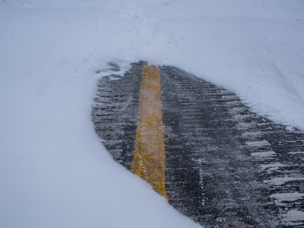
Flash flooding may occur Sunday as Hurricane Ernesto churns in the Atlantic, forecasters say.


JERSEY CITY, NJ — While forecasters expect Hurricane Ernesto to stay off-shore when it passes New Jersey Sunday, heavy rains and dangerous rip currents are expected.
Forecasters say to hold off on swimming in the surf this weekend, and prepare for possible flash flooding Sunday.
A flood watch is in effect for Hudson County from 2 a.m. Sunday through Sunday night.
Find out what's happening in Jersey Cityfor free with the latest updates from Patch.
Tide High
The tide on the Hudson waterfront is expected to be higher than usual Sunday night, 5.5 feet at 8:53 p.m.
Find out what's happening in Jersey Cityfor free with the latest updates from Patch.
A hazardous weather outlook issued late Friday for Bergen, Essex, Hudson, Passaic, and Union counties says, "Isolated to scattered instances of flash flooding are possible Sunday afternoon into Sunday night."
That's because up to an inch and a quarter of rain is expected to fall in those counties throughout Sunday.
In September 2021, Hurricane Ida reached New Jersey as a tropical depression, yet took an estimated 30 lives, mostly in flash floods.
Different Storms?
Ernesto strengthened to a Category 2 hurricane as it approached Bermuda on Friday.
Hurricanes must have surface winds 75 m.p.h. or higher. See how hurricanes are categorized here.
For tropical storms, depressions, and waves, wind speed and other factors come into play. The National Weather Services discuss the differences here.
When does a storm become post-tropical? The NWS says, "A post-tropical cyclone that no longer possesses the convective organization required of a tropical cyclone and has maximum sustained winds of less than 34 knots [around 39 MPH]. A non-frontal low pressure system that has characteristics of both tropical and extratropical cyclones."
Weekend Forecast And Storm Tracking
- Follow the up-to-date Hudson County forecast here.
- Bergen County forecast here.
- Track Atlantic storms here.
- See the Hudson River tides here.
Other Handy Links
Forecasting weather is an imperfect science, so it's best to be prepared, then to check the most up-to-date numbers:
- Keep an eye on the radar here.
- See the Accuweather Minutecast here.
- See a current map of all watches and warnings in New Jersey here.
See the updated NWS forecasts, watches, and warnings for North Jersey:
What about the rivers? This NWS map of the United States will show the potential for flooding.
Get more local news delivered straight to your inbox. Sign up for free Patch newsletters and alerts.