Weather
Stormy Weather To Arrive: Timeline, New Details Released
A timeline has been released for a storm system that will bring rain, wind to the Hudson Valley.


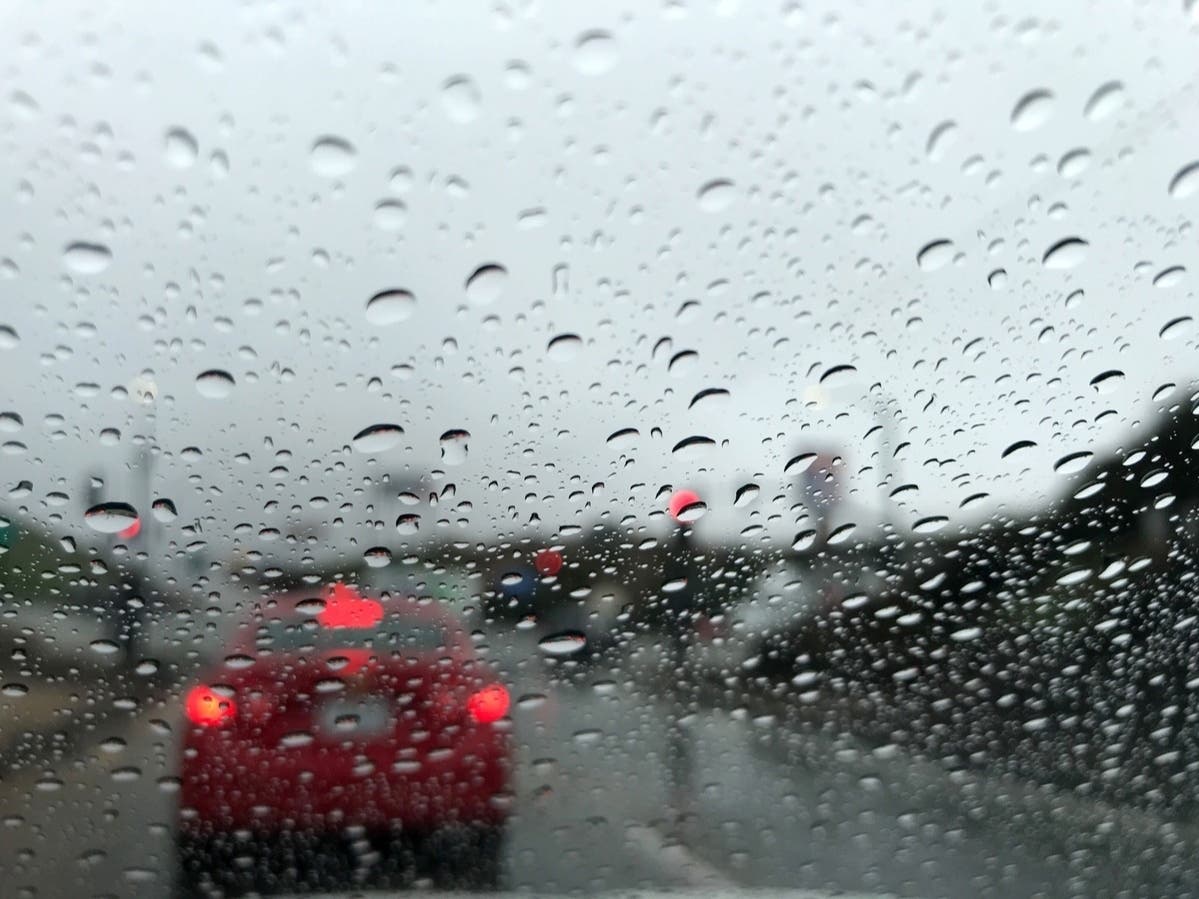
HUDSON VALLEY, NY — The region is expected to experience heavy rain and wind over the next couple of days.
Brian Frugis, a meteorologist with the National Weather Service in Albany, said rain will develop Wednesday, with high temperatures in the mid-50s, and wind gusts of up to around 30 miles per hour.
The rain will be heavy at times, he said, and then will taper off early Thursday. The region is expected to get up to an inch of rain through Wednesday night, he said.
Find out what's happening in Mid Hudson Valleyfor free with the latest updates from Patch.
Afterward, the region will see mostly cloudy skies. The wind is expected to pick up on Thursday, with gusts close to 40 miles per hour, according to Frugis. The weekend will bring calmer weather and sunshine.
Here are the forecast details as of Wednesday afternoon for the Mid-Hudson Valley area via the National Weather Service:
Find out what's happening in Mid Hudson Valleyfor free with the latest updates from Patch.
This Afternoon: Rain. High near 56. South wind around 15 mph, with gusts as high as 30 mph. Chance of precipitation is 80%. New precipitation amounts between a tenth and quarter of an inch possible.
Tonight: Rain, mainly before 1 a.m., then a slight chance of showers after 1 a.m. Low around 48. South wind 6 to 14 mph, with gusts as high as 28 mph. Chance of precipitation is 100%. New precipitation amounts between a half and three quarters of an inch possible.
Thursday: A slight chance of showers before noon. Mostly cloudy, with a high near 54. South wind 5 to 10 mph becoming west in the afternoon. Winds could gust as high as 21 mph. Chance of precipitation is 20%.
Thursday Night: Mostly cloudy, with a low around 29. Northwest wind 9 to 13 mph, with gusts as high as 32 mph.
Friday: Mostly sunny, with a high near 46. West wind 10 to 17 mph, with gusts as high as 38 mph.
Friday Night: Mostly cloudy, with a low around 30.
Saturday: Mostly sunny, with a high near 40.
Saturday Night: Partly cloudy, with a low around 26.
Sunday: Mostly sunny, with a high near 42.
Sunday Night: Partly cloudy, with a low around 26.
Here are the forecast details as of Wednesday afternoon for the lower Hudson Valley area via the National Weather Service:
This Afternoon: Showers. High near 55. Breezy, with a south wind around 20 mph, with gusts as high as 34 mph. Chance of precipitation is 90%. New precipitation amounts of less than a tenth of an inch possible.
Tonight: Showers, mainly before 1 a.m. Low around 47. Breezy, with a south wind 18 to 23 mph decreasing to 10 to 15 mph after midnight. Winds could gust as high as 41 mph. Chance of precipitation is 100%. New precipitation amounts between a half and three quarters of an inch possible.
Thursday: Mostly cloudy, with a high near 54. West wind 8 to 14 mph.
Thursday Night: Partly cloudy, with a low around 31. Wind chill values between 20 and 30. Northwest wind 14 to 18 mph, with gusts as high as 38 mph.
Friday: Sunny, with a high near 49. Breezy, with a west wind 21 to 24 mph, with gusts as high as 39 mph.
Friday Night: Mostly cloudy, with a low around 34.
Saturday: Mostly sunny, with a high near 44.
Saturday Night: Mostly clear, with a low around 28.
Sunday: Mostly sunny, with a high near 45.
Sunday Night: Partly cloudy, with a low around 30.
Get more local news delivered straight to your inbox. Sign up for free Patch newsletters and alerts.