Weather
Frost Advisory For Danville: Here's How Cold It May Get
The National Weather Service advised taking precautions to protect people, pets, plants and pipes from the cold.

DANVILLE, CA — The National Weather Service issued a frost advisory which is expected to be in effect Sunday morning from midnight until 10 a.m. for much of the Bay Area, including the East Bay Interior Valleys and East Bay Hills.
The National Weather Service is also predicting sub-freezing wind chill temperatures from Sunday into early Monday. Officials recommend that residents limit their time outdoors, as serious medical conditions including hypothermia and frostbite can develop with prolonged cold weather exposure.
In Danville, low temps were expected to drop to 37 degrees overnight Friday, 32 overnight Saturday and 33 overnight Sunday.
Find out what's happening in Danvillefor free with the latest updates from Patch.
For those who need information on warming shelters in Contra Costa County, dial 211 from a phone and press option 3 to connect with CORE mobile outreach.
.png)
According to the National Weather Service, frost and freeze conditions can kill crops and other sensitive vegetation, possibly damage unprotected outdoor plumbing, and create hazardous conditions for livestock and those without adequate heating or shelter.
Find out what's happening in Danvillefor free with the latest updates from Patch.
"People who do not have adequate heating should take steps to find shelter from the cold," the weather service said. "Take steps now to protect tender plants from the cold. To prevent freezing and possible bursting of outdoor water pipes they should be wrapped, drained, or allowed to drip slowly. Those that have in-ground sprinkler systems should drain them and cover above-ground pipes to protect them from freezing."
Danville Seven-Day Forecast
Friday Night
Increasing clouds, with a low around 37. Calm wind becoming south southeast around 5 mph after midnight.
Saturday
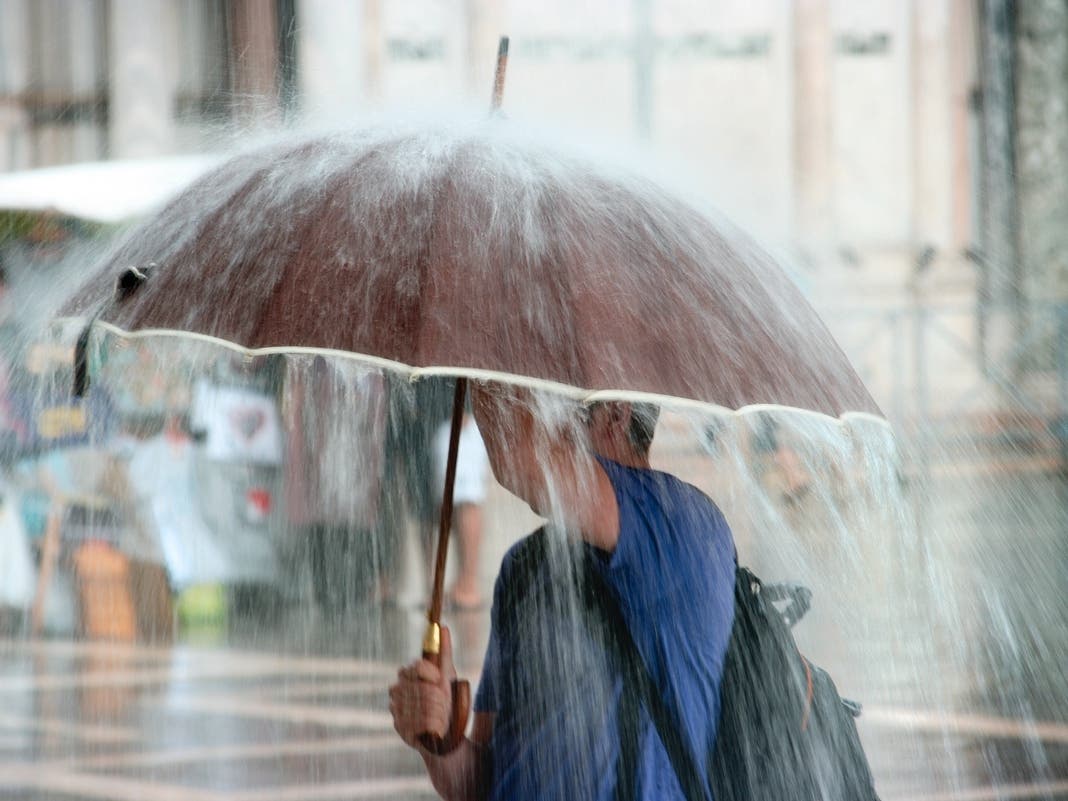
Rain, mainly between 10am and 4pm. High near 55. South southeast wind 5 to 10 mph becoming west 16 to 21 mph in the morning. Winds could gust as high as 31 mph. Chance of precipitation is 90%. New precipitation amounts between a tenth and quarter of an inch possible.
Saturday Night
A 40 percent chance of rain before 10pm. Areas of frost after 4am. Otherwise, mostly cloudy, then gradually becoming clear, with a low around 32. Northwest wind 10 to 16 mph, with gusts as high as 23 mph. New precipitation amounts of less than a tenth of an inch possible.
Sunday
Widespread frost, mainly before 7am. Otherwise, sunny, with a high near 53. North northwest wind 7 to 11 mph.
Sunday Night
Patchy frost after midnight. Otherwise, clear, with a low around 33. North northwest wind 6 to 8 mph.
Monday
Mostly sunny, with a high near 54.
Monday Night
Partly cloudy, with a low around 38.
Tuesday
A chance of rain, mainly after 4pm. Partly sunny, with a high near 57.
Tuesday Night
A chance of rain, mainly before 10pm. Partly cloudy, with a low around 38.
Wednesday
A chance of rain, mainly after 10am. Partly sunny, with a high near 54.
Wednesday Night
A chance of rain. Mostly cloudy, with a low around 37.
Thursday
A chance of rain. Mostly sunny, with a high near 54.
Thursday Night
A chance of rain. Mostly cloudy, with a low around 38.
Friday
A chance of rain. Partly sunny, with a high near 54.
Get more local news delivered straight to your inbox. Sign up for free Patch newsletters and alerts.