Weather
More Storms Looming In Dublin As School Restarts
Another large storm is expected Monday, when DUSD students are scheduled to return to classes.


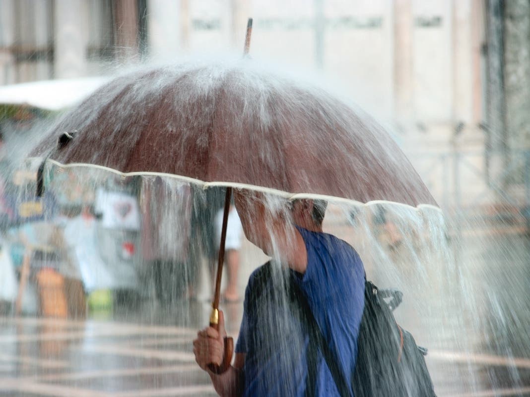
DUBLIN, CA — After a brief pause, a relentless parade of atmospheric river-fueled storms is expected to bring another impactful storm to Dublin over the next week.
The National Weather Service issued an advisory Thursday ahead of a new series of storms that's likely to bring more staggering precipitation numbers to a region that's already soaked. The next wave of storms is estimated to continue through Jan. 19, according to the NWS.
Updated Jan 5, 2023: Hazardous Winds, Snow, and Rain Forecast to Continue over the West Coast, Possibly Exacerbating Flooding Risk https://t.co/sCH1Wj5ZuT pic.twitter.com/LCUr24l9hl
— NWS Climate Prediction Center (@NWSCPC) January 5, 2023
Most of the Bay Area is expected to receive between 2 to 3 inches of rain between Saturday and Tuesday with hills likely to get 3 to 6 inches.
Find out what's happening in Dublinfor free with the latest updates from Patch.
Dublin can expect 2.76 inches of rain from Saturday to Tuesday, with the majority falling Monday. On Monday, 1.97 inches are expected to accumulate over 12 hours of rain, and winds are expected to reach up to 38 mph.
Dublin remains under a Flood Watch until Tuesday at 4 p.m., and a Wind Advisory until Sunday at 1 p.m.
Find out what's happening in Dublinfor free with the latest updates from Patch.
Monday, when the worst of the storm is supposed to hit, is when DUSD students are scheduled to return to class after winter break. Still, district spokesperson Chip Dehnert said the district plans to treat Monday "the same as any wet day."
"Students and staff will return to their school sites to start 2023. While heavy rain often results in some leaks, nothing significant has been reported by our maintenance team," Dehnert wrote Patch in an email. Patch is awaiting additional information on the option of virtual classes or extended start times if the commute proves too dangerous for many families. No further updates are publicly available.
“As the overall wet pattern remains locked in place over the West Coast, the next surge of moisture to move inland is forecast to enter northern California and southwest Oregon late Friday,” according to a National Weather Service Advisory.
“Rainfall could become hazardous and lead to scattered instances of flash flooding over the coastal ranges of northern California. The consistent stream of moisture being funneled out of the tropical Pacific will continue into Saturday and gradually expand into more central portions of the state.”
The pattern is likely to persist beyond the seven-day projection for an additional seven-day period in which “several more impactful atmospheric river events are expected,” the NWS bulletin said.
Sandbags are available to all Dublin residents at the City of Dublin Corporation Yard at 5709 Scarlett Court. Residents are asked to bring their own shovels, and limit the number of bags to 10 or fewer. Bags are also available at the Alameda County Public Works Agency’s Maintenance and Operations Corporation Yard at 4825 Gleason Drive. Over 2,500 Dublin residents filled up sandbags Tuesday alone, the city reported.
The city said it plans to replenish its sand supply and does not expect to run out, as Pleasanton did a few times. The city said residents can assume sand is available unless they are told otherwise.
Dublin residents can refer to the following numbers:
- Flooding or downed trees: Dublin Police at (925) 462-1212
- Power outage: Pacific Gas and Electric Company at (800) 743-5002
- Damaged power lines/electrical equipment: 911
Residents can sign up for city emergency alerts here. Residents can also follow the city’s Facebook and Twitter pages, or through Nixle alerts by texting 94568 to 888-777.
For a full list of storm preparation tips, see here. Here are a few more flood safety tips, courtesy of the CDC and the City of Dublin:
- Gathering at least a 3-day supply of non-perishable food and water.
- Have immunization records handy.
- Check your emergency supplies.
- Bring in outdoor items or tie them securely.
- Keep your car fueled and cell phone charged.
- Avoid low-lying areas subject to flooding and don’t drive in flooded areas.
- Never drink flood water. During a water advisory, use only bottled, boiled, or treated water for drinking.
- Listen to boil advisories to know if water is safe for bathing and drinking.
Do you have storm stories or photos? Email michael.wittner@patch.com.
— Patch editor Gideon Rubin contributed to this report.
Get more local news delivered straight to your inbox. Sign up for free Patch newsletters and alerts.