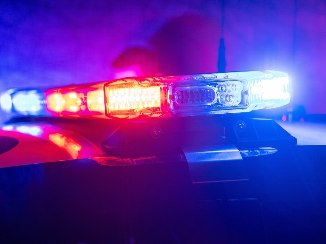
Crime & Safety
Gorman Fire Map: See King Fire Perimeter, Evacuation Areas
The King Fire broke out Thursday morning and quickly scorched nearly 500 acres, sending a wall of flames around an RV park.


GORMAN, CA — A fast-moving brush fire burned about 490 acres alongside the Golden State (5) Freeway Thursday morning, temporarily shutting down the freeway, and prompting evacuation warnings.
The blaze broke out shortly after 1 a.m. east of the freeway in the 45100 block of Copco Avenue, near Pyramid Lake. The wind-driven blaze surrounded an RV park, destroying a double wide trailer, two vehicles and two outhouses.
Evacuation warnings were issued in the Hungry Valley, Paradise Ranch and Gorman areas.
Find out what's happening in Los Angelesfor free with the latest updates from Patch.

Crews from Los Angeles County Fire Department, the Angeles National Forest Fire Department and Kern County are battling the blaze. By 4 a.m., the 5 Freeway was largely reopened, and the blaze was 5 percent contained. However, as of 6:30 a.m., on/off ramps in both directions of the freeway were closed near Smokey Bear Road.
City News Service contributed to this report.
Find out what's happening in Los Angelesfor free with the latest updates from Patch.
Get more local news delivered straight to your inbox. Sign up for free Patch newsletters and alerts.