A low pressure trough is approaching the coast, and the associated cold front will bring rain, wind and cold air. Rain is expected to start tonight and continue on and off through the week and into next week.
Parts of the north bay could get up to 5 inches of rain with the first round on Tuesday, March 13 into Wednesday, March 14 and coastal areas could get up to 45 mph winds. A short wind advisary may be necessary.
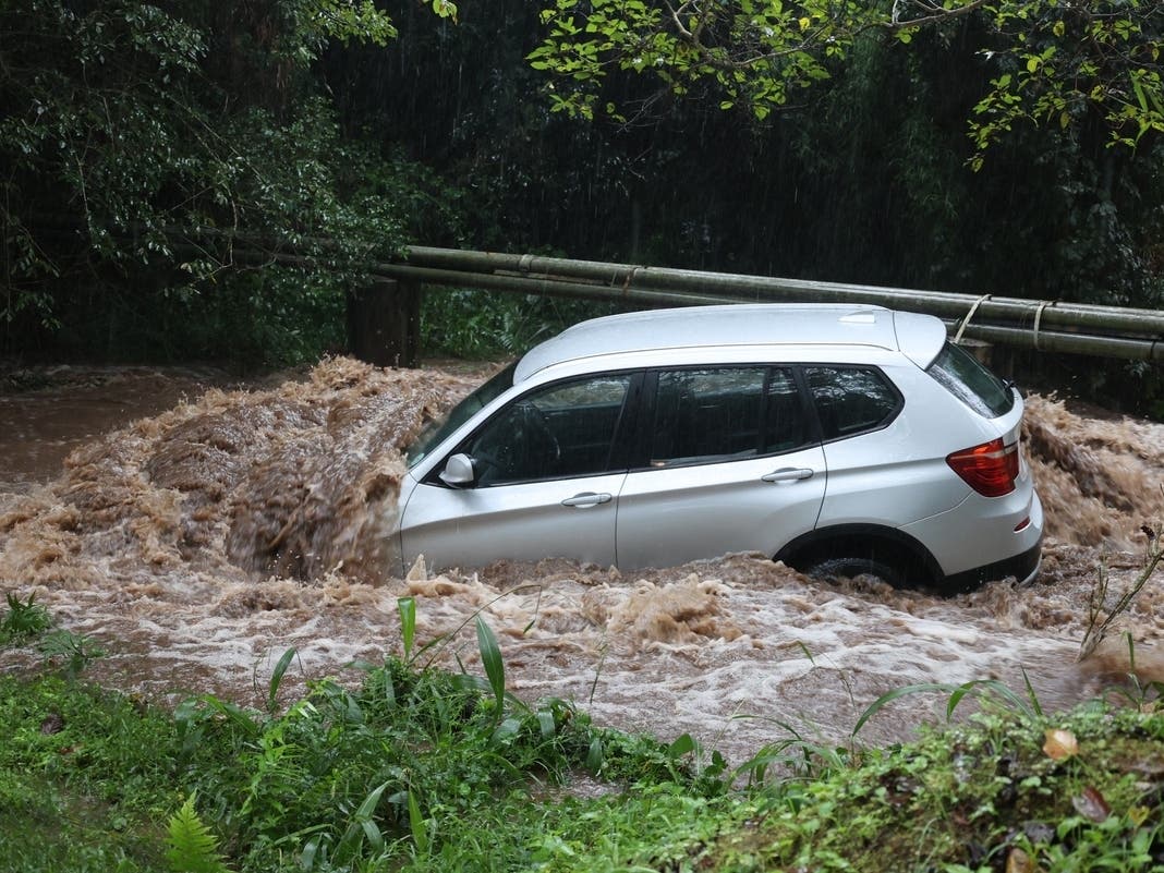
Thursday, March 15 and Friday, March 16 will experience another round of precipitation along with the possibilty of 35 mph winds. Residents should prepare for the likelihood of heavy rain, high tides, winds, power outages and possible local urban and small stream flooding.
Please make note of the list below, which indicates date, time and expected height of high tides (6'.0" and above)
Date Time Height
03-13 10:25 am 6'.2"
03-14 11:36 am 6'.0"
City of Mill Valley preparations include:
- Providing sand and sandbags to residents at various locations. Please visit the Flooding and Storm Resources page for more information.
- Working with PG&E to improve local response and communication with City officials during outages.
- Monitoring creeks for blockages and obstructions.
- Maintaining storm drains and flood control pump stations.
- Posting flood warning signs.
- Assigning additional staff to respond to storm-related emergencies as needed.
Residents Should Prepare By:
Find out what's happening in Mill Valleyfor free with the latest updates from Patch.
- Monitor TV, radio and the internet for up to date weather reports to stay current with local conditions.
- Signing up for the MEANS early warning system.
- Having a ready supply of batteries, flashlights and a transistor radio. Residents that have electric stoves may consider purchasing a camp stove, and residents with gas stoves should keep matches on hand.
- Buying an old-fashioned telephone with a cord.
- Residents with wood burning stoves or fireplaces should stock enough wood to last 4-5 days.
- Residents living near creeks or in flood zones should monitor water levels and stock up on sand and sandbags.
- Prepare to check on neighbors who may need help during a storm.
Remember that in the event of a large natural disaster, you need to be prepared to "Shelter at Home" for at least 5 or more days. For more information on how to prepare for storms and other natural disasters, please visit the Emergency Preparedness Information webpage.
Get more local news delivered straight to your inbox. Sign up for free Patch newsletters and alerts.