Weather
Rain Will Close Out 2025 And Ring In 2026 Across Riverside County: National Weather Service
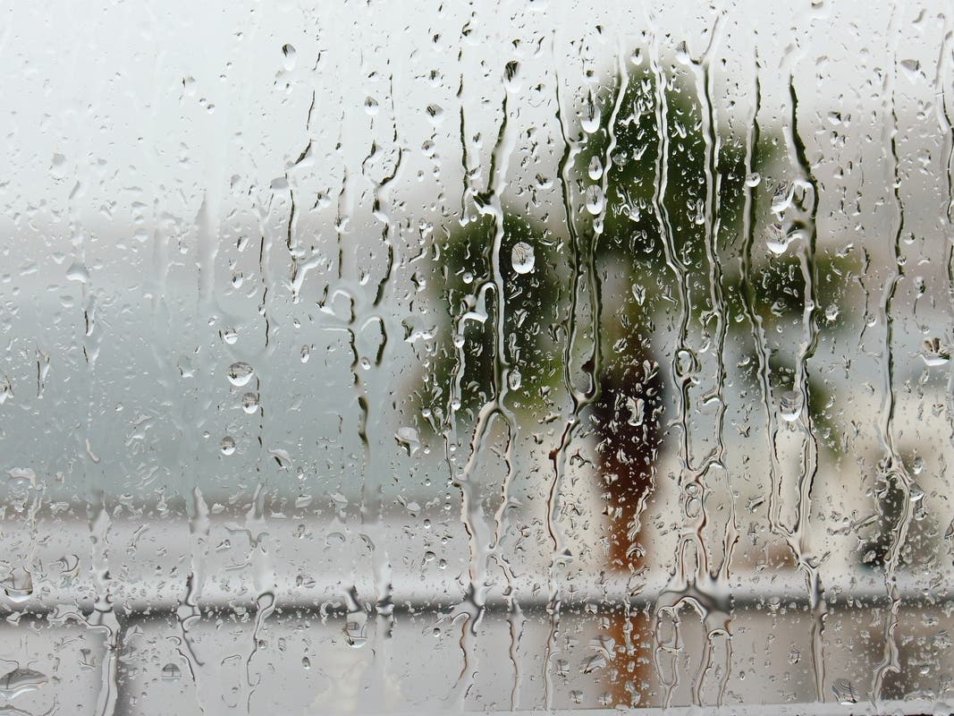
More wet weather is forecast on Wednesday and Thursday, with a pause before another storm system hits this weekend.
RIVERSIDE COUNTY, CA — The current year will end with a storm, followed by additional inclement weather for the first days of 2026 throughout the Inland Empire, the National Weather Service said Monday.
Forecasters said the atmospheric river that fueled widespread rain across the region around Christmas will yield more wet weather on Wednesday and Thursday, with a pause expected Friday before another system establishes itself over the area during the weekend.
"These systems will bring us periods of (steady) rain and showers from late Wednesday through the weekend," the NWS said in a statement. "Precipitation amounts will be greatest in the northern areas (San Bernardino County). Most of the precipitation will likely fall before the weekend."
Find out what's happening in Temeculafor free with the latest updates from Patch.
The Riverside metropolitan area was predicted to receive about a half-inch of rain Wednesday and Thursday, with much lighter amounts for the weekend. The desert areas of eastern Riverside County are forecast to receive about a tenth of an inch of precipitation, though mountainous areas may be in store for up to three inches of rainfall.
As with last week, snow levels will remain elevated. The Weather Service predicted accumulations mainly above 8,000 feet for the duration.
Find out what's happening in Temeculafor free with the latest updates from Patch.
According to forecasters, the first storm system will result from two troughs of low pressure merging on Tuesday in the Pacific southwest of San Diego, and the consolidated troughs will track northeast, gathering strength after making landfall.
Once the first system trails off to the east, a ridge of high pressure is expected to anchor over the region Friday.
"This ridge could bring a break in the precipitation until a low from the Gulf of Alaska arrives with colder air and more rain for Saturday to Monday," the NWS stated.
For Monday and Tuesday, Santa Ana winds stemming from high pressure over the Great Basin of Nevada and Utah are forecast to create breezy conditions at lower elevations and winds gusting over 50 mph through mountains and passes. Temperatures Tuesday will be elevated, up to 10 degrees above average, according to meteorologists.
In the Riverside area, the highs Monday and Tuesday will peak in the low to mid 70s, with overnight temperatures in the mid 50s. From Wednesday to Sunday, daytime temps will generally reach the mid 60s, falling to the upper 40s at night.
For the Coachella Valley, highs will top out in the mid 70s Monday and Tuesday, dropping into the low to mid 50s at night. The temperature band will be similar to Riverside metro for the remainder of the week, and the same will apply in the Temecula Valley.