Weather
Winter Weather Advisory Alerted Amid 1st Freeze In GA: Latest Forecast
At least four metro Atlanta-area counties may expect to see snow flurries as forecasters issue a winter weather advisory in Georgia.

At least four metro Atlanta-area counties are predicted to see snow flurries Monday afternoon into the evening as forecasters issue a winter weather advisory for parts of Georgia.
The National Weather Service issued the alert for the northeast mountains, including: Murray, Fannin, Gilmer, Union, Towns, Dawson, Lumpkin and White counties. The advisory is set to expire through Tuesday morning.
Snow could accumulate up to 3 inches in some areas, specifically those above 2,000 feet elevation.
Find out what's happening in Atlantafor free with the latest updates from Patch.
Meanwhile, residents in Cobb, Paulding, Bartow and Cherokee counties may see flurries of their own heading into Monday evening, according to an updated forecast from the NWS.
This all comes amid a freeze warning to soon be active in the Peach State, a second for the day. The new warning will go into effect at 7 p.m. and will expire at 10 a.m. Tuesday.
Find out what's happening in Atlantafor free with the latest updates from Patch.
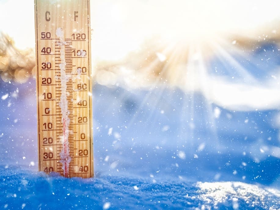
Sub-freezing temperatures as low as 15 degrees can be anticipated, forecasters said. This will be the first widespread hard freeze of the fall season, the NWS reported early Monday morning.
"Frost and freeze conditions could kill crops, other sensitive vegetation and possibly damage unprotected outdoor plumbing," the NWS said in the alert.
Meteorologists told Patch Georgia is "abnormally cold" for November. Sid King, meteorologist with the NWS' Peachtree City office, noted the current weather is not a precursor for the winter.
The NWS earlier reported snow showers could arrive between 2 p.m. and 10 p.m. Monday in the north Georgia mountains, including areas near Blairsville. The weather service warned bridges and overpasses could be slippery.
Though snow may have a difficult time sticking to the roadway in some areas, melted snow could re-freeze and make way for black ice, King said, adding this could cause slick roads on Tuesday morning.
"It will drop below freezing quickly after sunset," King said.
Earlier Monday, King said a light flurry may be possible in metro Atlanta, but snow accumulation is primarily not a concern for the area.
He predicted temperatures will warm to the 60s on Wednesday and Thursday, giving Georgians reprieve from the chilliness.
The Georgia Emergency Management and Homeland Security Agency provided tips for facing wintry weather.
This all comes after part of Interstate 75 flooded during scattered thunderstorms Saturday near Hartsfield-Jackson Atlanta International Airport, King said.
This appears to be depicted in a social media video, as claimed by Facebook handle ATL Uncensored.
King said the rainfall climbed to an inch. He added debris could clog drains, preventing back flow and causing flooding with the littlest amount of rain.
During the mid-afternoon storms, winds were strong enough to topple trees, King said. He noted a couple of the storms also produced hail the size of dimes and quarters.
Updates will be posted on the weather service's Twitter page, the weather service's Facebook page and its website.
RELATED: Snow Flurries To Fall Into Some GA Towns: See Latest
Here is the National Weather Service's Monday afternoon detailed forecast for metro Atlanta:
Tonight: Mostly clear, with a low around 26. Northwest wind 5-15 mph, with gusts as high as 30 mph.
Veterans Day: Sunny, with a high near 48. West wind 5-10 mph, with gusts as high as 15 mph.
Tuesday Night: Clear, with a low around 36. Southwest wind around 5-10 mph, with gusts as high as 15 mph.
Wednesday: Sunny, with a high near 63. West wind 10-15 mph, with gusts as high as 25 mph.
Wednesday Night: Mostly clear, with a low around 43. West wind around 5 mph.
Thursday: Sunny, with a high near 67.
Thursday Night: Partly cloudy, with a low around 44.
Friday: Sunny, with a high near 70.
Friday Night: Mostly clear, with a low around 47.
Saturday: Sunny, with a high near 73.
Saturday Night: Partly cloudy, with a low around 50.
Sunday: A 30 percent chance of showers. Mostly sunny, with a high near 72.
Sunday Night: A 30 percent chance of showers. Partly cloudy, with a low around 52.
Monday: A 30 percent chance of showers. Mostly sunny, with a high near 68.
Get more local news delivered straight to your inbox. Sign up for free Patch newsletters and alerts.