Weather
Ice, Snow May Freeze GA As Arctic Blast Slams South: Latest Forecast
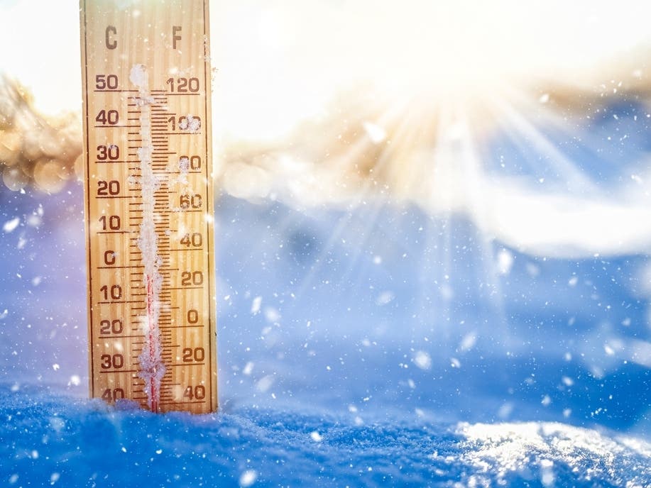
Amid projections of a GA ice or snowstorm, meteorologists told Patch travel will be impacted and freezing rain could chill power lines.

ATLANTA, GA — Georgia officials are gearing up for hazardous weather as residents could be facing snow and ice later this week.
Gov. Brian Kemp on Tuesday said transportation crews will start brining roadways on Thursday in preparation for a potential Friday winter storm. They will primarily focus on areas north of and along Interstate 20, where weather officials told Patch the hardest-hitting areas may sit.
"As with any weather system that might impact Georgia communities, we are actively monitoring the approaching winter storm and taking action now to ensure our communities are prepared for any possible impact," Kemp said in a news release. "Along with state agency leaders, I'm urging Georgians to stay weather aware, especially as they make plans for the coming days. Please make necessary arrangements to keep your family safe and stay tuned for more information as this storm approaches."
Find out what's happening in Atlantafor free with the latest updates from Patch.
The anticipated winter storm is due to cold air that will blast in from Canada, the National Weather Service's Dylan Lusk told Patch. Lusk said the air "will set up shop atop of" Georgia.
While the entire state may be affected, Lusk said the NWS is confident areas north of Interstate 20 will be hit by frozen precipitation. He noted this could come in the form of ice, snow or freezing rain.
Find out what's happening in Atlantafor free with the latest updates from Patch.
Precipitation in counties south of I-20 could begin as frozen and transform into rain. Lusk said the deciding factor will be if temperatures dwindle 1 or 2 degrees colder.
Metro Atlanta residents are especially in the path of a "pretty likely" north Georgia winter storm, Lusk said.
He called the counties of Fayette, Henry and Clayton "no man's land" as the uncertainties put cities in these areas on middle ground. This particular area could see some rain while other cities may get snow.
Central Georgia near Macon may feel rainfall, as well, Lusk said.
"Be prepared across Georgia," he said.
He forewarned that freezing rain could chill power lines.
As of Tuesday, the NWS was unclear about the amount of snow or ice that may be received and how significant the weather event may be; however, Lusk said the week will continue to be cold.
The Georgia Department of Transportation is aware of the impending bad weather in case roadways will need to be treated as travel will be impacted.
Lusk warned cars could get stuck in snow, so he advised drivers to have cell phones to call for assistance.
He also suggested keeping winter supplies in cars. This could mean having a warm blanket and cat litter to help get tires out of snow.
The days leading to Friday could be a prelude to declining temperatures. Wednesday, in particular, will be colder than Tuesday, Lusk said.
"It's gonna be cold, but there's not going to be anything falling out of the sky," he said.
Temperatures in the teens are possible Wednesday night into Thursday morning. The north Georgia mountains may have 13-degree temperatures, Lusk said.
Metro Atlanta is expected to get low temperatures in the 20s, with Fulton County anticipated to feel a bit warmer than the rest of the area.
The wintry weather will clear out by Saturday, the NWS forecasted.
See safety tips for winter from the Georgia Office of the Commissioner of Insurance and Safety Fire.
Around 9:45 a.m. Tuesday, the NWS predicted the following detailed forecast for metro Atlanta:
Today: Sunny, with a high near 38. Northwest wind around 10 mph, with gusts as high as 20 mph.
Tonight: Mostly clear, with a low around 24. Northwest wind 5-10 mph, with gusts as high as 15 mph.
Wednesday: Sunny, with a high near 40. Northwest wind 10-15 mph, with gusts as high as 20 mph.
Wednesday Night: Clear, with a low around 22. Northwest wind around 10 mph, with gusts as high as 15 mph.
Thursday: Sunny, with a high near 40. Northwest wind around 10 mph, with gusts as high as 15 mph.
Thursday Night: Partly cloudy, with a low around 27.
Friday: Rain and snow, mainly after 1 p.m. High near 36. Chance of precipitation is 80 percent.
Friday Night: Rain and freezing rain, possibly mixed with snow before 1 a.m., then freezing rain likely, possibly mixed with snow. Low around 30. Chance of precipitation is 90 percent.
Saturday: Mostly cloudy, with a high near 39.
Saturday Night: Partly cloudy, with a low around 23.
Sunday: Sunny, with a high near 41.
Sunday Night: Mostly clear, with a low around 27.
Monday: Mostly sunny, with a high near 45.
Get more local news delivered straight to your inbox. Sign up for free Patch newsletters and alerts.