ATLANTA, GA — Some flooding may be possible in the next day as downpours hit Georgia, weather forecasters told Patch.
North and central Georgia are expected to receive 1 to 4 inches of rainfall between Tuesday and Wednesday, National Weather Service meteorologist Vaughn Smith said.
He noted the most probable chance of flooding lies along and south of areas from Athens to Carrollton.
Find out what's happening in Atlantafor free with the latest updates from Patch.
In the Atlanta and Columbus metros, sporadic showers are in the forecast through Tuesday and part of Wednesday.
A frontal boundary should clear by Wednesday morning or early afternoon, potentially leaving Georgians without rain until Saturday night or Sunday morning, Smith said.
Find out what's happening in Atlantafor free with the latest updates from Patch.
Wind gust speeds may rise to 20-40 mph and may linger for 6 to 8 hours on Wednesday afternoon, Smith said.
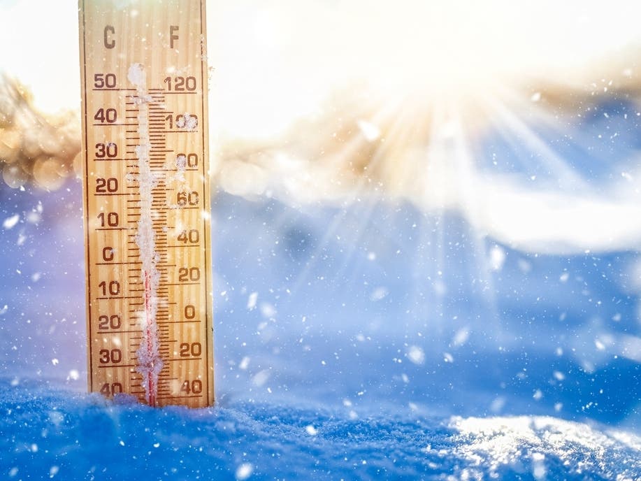
Once the front passes through Georgia, colder temperatures will prevail for the remainder of the week.
Wednesday high temperatures may sit in the 40s and 50s, while central Georgia could reach 60 degrees before diving into the 20s and 30s, Smith said. By Thursday, temperatures may return to the 40s and 50s.
However, Smith said temperatures could be at or below freezing by Thursday night or Friday morning.
As of around 12:30 p.m. Tuesday, the National Weather Service predicted the following detailed forecast for metro Atlanta:
This Afternoon: Showers and possibly a thunderstorm. Some of the storms could produce heavy rainfall. High near 67. South wind around 10 mph, with gusts as high as 20 mph. Chance of precipitation is 100 percent. New rainfall amounts between three-quarters and one inch possible.
Tonight: Showers and possibly a thunderstorm before 4 a.m., then showers likely. Low around 42. South wind 5 to 10 mph becoming west after midnight. Winds could gust as high as 20 mph. Chance of precipitation is 90 percent. New rainfall amounts between a half and three-quarters of an inch possible.
Wednesday: A 40 percent chance of showers, mainly before 9 a.m. Mostly sunny, with a temperature falling to around 44 by 1 p.m. Northwest wind 15-20 mph, with gusts as high as 35 mph.
Wednesday Night: Clear, with a low around 31. West wind around 10 mph, with gusts as high as 20 mph.
Thursday: Sunny, with a high near 48. Northwest wind 5-10 mph, with gusts as high as 15 mph.
Thursday Night: Partly cloudy, with a low around 34.
Friday: Partly sunny, with a high near 51.
Friday Night: Mostly cloudy, with a low around 38.
Saturday: A 20 percent chance of showers after 1 p.m. Mostly cloudy, with a high near 50.
Saturday Night: A 50 percent chance of showers. Mostly cloudy, with a low around 43.
Sunday: A 20 percent chance of showers. Partly sunny, with a high near 58.
Sunday Night: Partly cloudy, with a low around 40.
Monday: Mostly sunny, with a high near 59.
Get more local news delivered straight to your inbox. Sign up for free Patch newsletters and alerts.