Weather
Snow, Rain Possible As Coldest Air Of The Season Hits Chicago Area
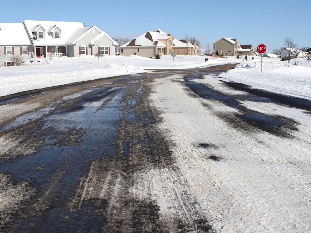
Could we see the first snowflakes of the season this weekend?

The coldest air of the season is on the way to the Chicago area, and we could even see the first snowflakes fall, according to the National Weather Service.
The end of the week will feature dry and breezy days with highs in the 60s, but temperatures will turn colder this weekend. Rain chances return Thursday night into Friday, the weather service said.
"Another bout of rain is likely late Saturday through Sunday where a few snowflakes may mix in, especially Saturday and Sunday nights," the weather service said.
Find out what's happening in Across Illinoisfor free with the latest updates from Patch.
Then, the "coldest air of the season so far" will arrive on Sunday. According to the current forecast, the high for Sunday is only 40 degrees. Lows on Sunday night could dip into the teens.
The cold air will persist into the early part of next week, the weather service said.
Find out what's happening in Across Illinoisfor free with the latest updates from Patch.
The Chicago area's "normal first date" for a trace or more of snow is Oct. 31, so this year is later than normal. The "normal first date" for measurable snow (.1 inches or more) is Nov. 18, according to weather service data.
Here's a more detailed look at the weather the next few days, per the weather service:
WEDNESDAY: Sunny, with a temperature falling to around 54 by 5 p.m. Breezy, with a north northwest wind 10 to 20 mph, with gusts as high as 30 mph.
WEDNESDAY NIGHT: Mostly clear, with a low around 34. Northwest wind 5 to 10 mph becoming light west after midnight.
THURSDAY: Increasing clouds, with a high near 56. Light and variable wind becoming south 10 to 15 mph in the morning. Winds could gust as high as 20 mph.
THURSDAY NIGHT: A slight chance of showers before midnight, then showers and possibly a thunderstorm between midnight and 3 a.m., then showers after 3 a.m. Low around 48. South wind 10 to 15 mph, with gusts as high as 30 mph. Chance of precipitation is 80 percent.
FRIDAY: A 30 percent chance of showers before noon. Mostly sunny, with a high near 64. West wind 10 to 15 mph, with gusts as high as 30 mph.
FRIDAY NIGHT: Partly cloudy, with a low around 38.
SATURDAY: A 50 percent chance of rain after noon. Partly sunny, with a high near 50.
SATURDAY NIGHT: Rain likely, mainly before midnight. Mostly cloudy, with a low around 32.
SUNDAY: Partly sunny, with a high near 37.
SUNDAY NIGHT: Partly cloudy, with a low around 22.
Get more local news delivered straight to your inbox. Sign up for free Patch newsletters and alerts.