Weather
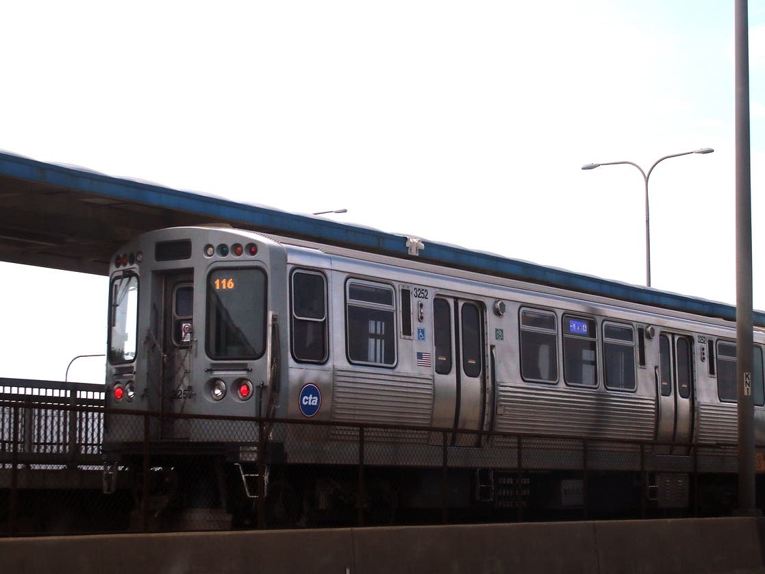
Dense Fog Blankets Chicago Area As Warmup Increases Flood Threat
Flooding, falling ice are risks as temperatures rise in Illinois.

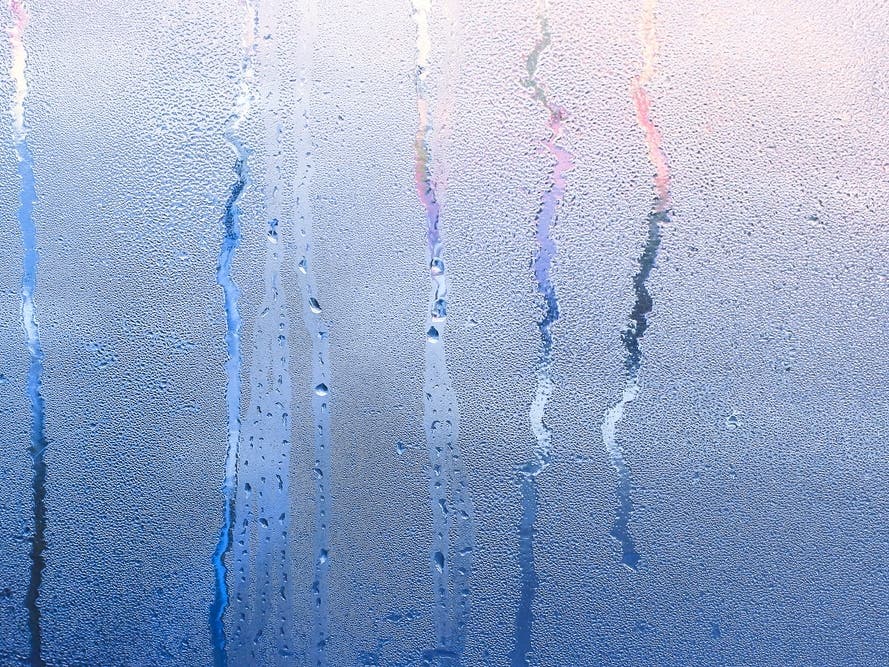
ILLINOIS — A dense fog advisory was in effect throughout the Chicago area Thursday, with periods of dense fog expected through evening, when rain will move into the area.
The National Weather Service warned drivers to be prepared for extra travel time, slow down and increase following distance behind other drivers while using low-beam headlights.
A "foggy, damp, and cloudy pattern" continues through the Chicago area, with a wave of rain expected Thursday night through Friday morning.
Find out what's happening in Across Illinoisfor free with the latest updates from Patch.
Meanwhile, with temperatures remaining in the upper 30s to low 40s, the National Weather Service said flooding is possible over the next several days thanks to a combination of rain, snowmelt and heavy river ice. The highest flooding threat will be along and south of I-80.
A flash flood warning is in effect for Will and Grundy counties, including Wilmington, where the Kankakee River is near flood stage, through Saturday morning, with a flood warning in effect for the same areas until further notice.
Find out what's happening in Across Illinoisfor free with the latest updates from Patch.
"An ice jam break up appears imminent, which would result in flash flooding downstream from Wilmington," the National Weather Service said.
Milder temperatures and light rain will melt snow, raising the risk of falling ice, the NWS also said. Residents should be alert for ice falling from roofs and other structures, and avoid walking underneath suspended ice.
Get more local news delivered straight to your inbox. Sign up for free Patch newsletters and alerts.