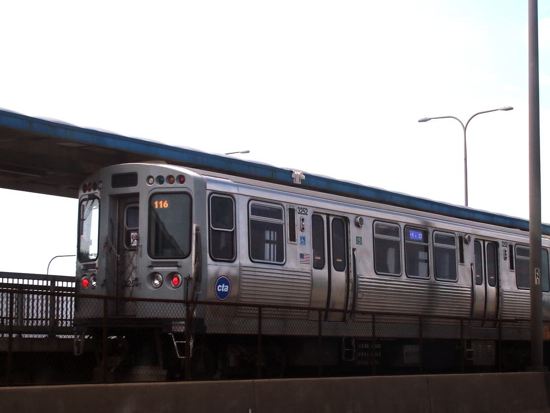
Weather
Possible Snow, Drizzle To Hit IL Before Temps Near 50 Degrees
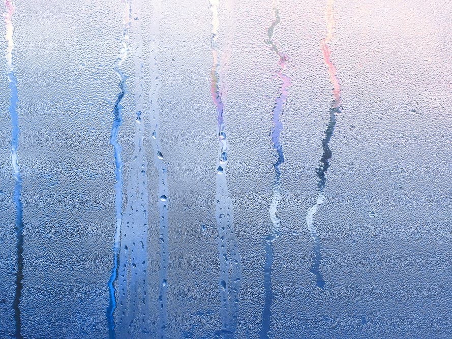
The warmup is likely to melt remaining snow, even as a few snowflakes could fall Tuesday evening in the Chicago area.

ILLINOIS — Periods of light drain and drizzle — and maybe even a few snowflakes — are expected for the Chicago area Tuesday afternoon and evening, but the warming trend continues just two weeks after temperatures plummeted far below zero.
After Tuesday evening, "dry and unseasonably mild conditions are expected for the rest of the week where temperatures could flirt with 50 degrees in spots, especially on Thursday," the National Weather Service said.
Temperatures could reach a high of 45 degrees on Wednesday and a high of 52 on Thursday. The warm up will continue into the weekend, according to the NWS forecast.
Find out what's happening in Across Illinoisfor free with the latest updates from Patch.
Flood threat continues
But the warmer weather comes with consequences, as what little snow is left continues to melt and river ice shifts, even as the threat of ice jams diminishes.
The National Weather Service said minor flooding will continue along some area rivers, as shifting river ice causes water level fluctuations, mainly on the Rock and Fox rivers.
Find out what's happening in Across Illinoisfor free with the latest updates from Patch.
Get more local news delivered straight to your inbox. Sign up for free Patch newsletters and alerts.