Community Corner
Helicopter Surveys Sections Of Whippany River Corridor In Parsippany
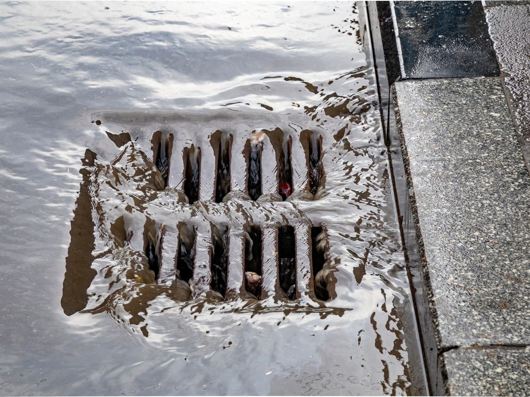
The Whippany-Passaic Rivers Flood Mitigation Project took its first step on Thursday afternoon in Parsippany.

PARSIPPANY, NJ — A low-flying helicopter traveled around Parsippany on Thursday afternoon, kicking off the first step in the Whippany-Passaic Rivers’ Flood Mitigation project.
The helicopter conducted a field investigation along a 12-mile stretch of the Whippany and Passaic Rivers and their tributaries. The goal is to identify areas that require clearing and de-snagging, officials said.
The multi-year project, officially known as the Whippany River Watershed Flood Risk Reduction Feasibility Study, will investigate local risks and costs associated with potential solutions.
Find out what's happening in Parsippanyfor free with the latest updates from Patch.
The mayors of six Morris County towns along the Whippany River — Morristown, Morris Plains, Parsippany, East Hanover, Hanover and Florham Park — recently formed a flood mitigation task force.
Last year, the task force collaborated with Congresswoman Mikie Sherrill's staff to submit a $1.5 million dollar Fiscal Year 2023 Community Project grant under Sherrill's sponsorship.
Find out what's happening in Parsippanyfor free with the latest updates from Patch.
These funds will be used to fund the first phase of a multi-year project to de-snake the Whippany River by removing dangerous obstructions and debris. The project's goal is to improve stormwater conveyance, which currently floods the region during small to medium-sized storms.
During Thursday's outing, data was collected from a manned helicopter at an altitude of approximately 600 feet above ground level, traveling at a ground speed of 35 knots.
The survey included tributaries such as the Smith Ditch, Black Brook and Pinch Brook streams.
Following the completion of the base mapping, Colliers Engineering and Design will identify the areas that require de-snagging and pinpoint site access to those areas, keeping in mind the need to minimize disruption and environmental impact in each area.
The partnering municipalities will be responsible for obtaining permission in their respective towns to use the site access points for clearing and de-snagging work, officials said.
Get more local news delivered straight to your inbox. Sign up for free Patch newsletters and alerts.