Weather
Christmas Eve Clipper Storm Targets NYC: See Latest Forecast
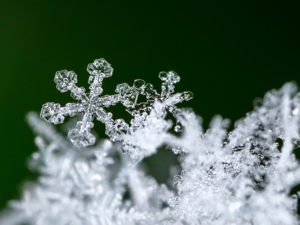
The NYC area could get a wintry mix of snow and rain on Tuesday.


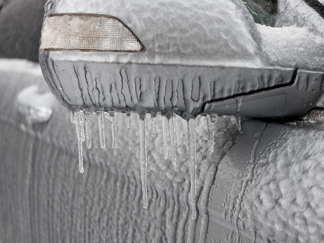
CENTRAL PARK, NY — A pre-Christmas clipper storm is headed toward New York City this week, bringing frigid temperatures and chances for snow showers, which could make untreated roads slippery for holiday travelers, according to the latest forecasts.
The wintry mix is expected to blow through New York City on Monday night into Tuesday morning with a 50 percent chance of snow showers, according to the National Weather Service.
Accuweather meteorologists say that the city could see a light dusting of snow up to 1 inch. New York City's Department of Sanitation issued a Winter Operations Advisory for Tuesday, announcing that the department will be salting the roads starting on Monday evening.
Find out what's happening in Central Parkfor free with the latest updates from Patch.
Precipitation will taper off by midday, making for a cold, but dry, evening, according to the forecast.
"Up to an inch of snow is expected Tuesday morning, and a significant portion of that may fall during the Tuesday morning rush hour," an official DSNY memo read, encouraging New Yorkers to stay off the roads.
Find out what's happening in Central Parkfor free with the latest updates from Patch.
Christmas Eve night and Christmas Day are expected to be dry with mostly clear skies, according to the National Weather Service.
"If any [precipitation] lingers near the coast by mid-morning, some rain could mix in with the snow," a forecaster from National Weather Service said.
Here's the latest forecast from National Weather Service.
Monday
Sunny, with a high near 30. Wind chill values between 20 and 25 degrees. Light and variable wind around 5 miles per hour in the afternoon.
Monday night
A 40 percent chance of snow showers after 4 a.m. Increasing clouds, with a temperature rising to around 31 by 5 a.m. Southwest wind around 6 mph.
Tuesday
A 50 percent chance of snow showers before 1 p.m. Cloudy, then gradually becoming mostly sunny, with a high near 38. Wind chill values between 25 and 30 degrees.
Tuesday night
Partly cloudy, with a low around 29 degrees. North wind 6 to 9 mph.
Christmas day
Mostly sunny, with a steady temperature around 32. North wind 7 to 9 mph.
Wednesday night
Mostly clear, with a low around 28.
Thursday
Mostly sunny, with a high near 36.
Thursday night
Mostly clear, with a low around 29.
Friday
Sunny, with a high near 40.
Friday night
Partly cloudy, with a low around 32.
Saturday
Partly sunny, with a high near 44.
Saturday night
Mostly cloudy, with a low around 38.
Sunday
A 40 percent chance of rain. Partly sunny, with a high near 47.
This article has been updated to include information from the DSNY. For questions and tips, email Miranda.Levingston@Patch.com.
Get more local news delivered straight to your inbox. Sign up for free Patch newsletters and alerts.