Weather
Snow, Rain Target NYC In Pre-Christmas Storm, Forecasters Say
Travel impacts to the Tuesday morning commute are likely, forecasters at the National Weather Service said.

NEW YORK CITY — Quick-hitting storms will target New York City this week, jeopardizing holiday travel plans with snow, rain and ice, forecasters said.
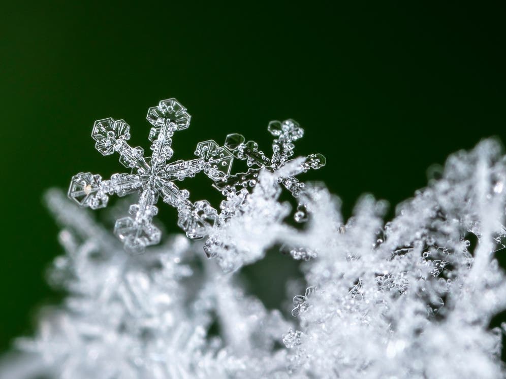
According to the National Weather Service, up to half an inch of snow is likely to fall in New York City overnight on Monday and will turn into a rainy mix by Tuesday morning, when another half an inch is possible.
Light snowfall is expected late Monday night into Tuesday morning. Snow likely changes to rain along the coast Tuesday morning, and possibly by early afternoon for most inland areas. Expected snowfall totals below.https://t.co/UFBErYMgPi for more details.#NYwx #CTwx #NJwx pic.twitter.com/cDvx4J0SoD
— NWS New York NY (@NWSNewYorkNY) December 21, 2025
The first storm will clear out by Tuesday afternoon, followed by winds blowing up to 20 miles per hour, according to the latest predictions from the National Weather Service.
Find out what's happening in Central Parkfor free with the latest updates from Patch.
"Travel impacts to the Tuesday AM commute likely, with slick conditions possible on colder, untreated surfaces," forecasters from the National Weather Service said.
Wednesday will be cloudy and dry, and Christmas Day should be mostly dry with a high near 44 degrees, but there's an 80 percent chance of rain on Friday, when many people may be traveling, forecasters said.
Find out what's happening in Central Parkfor free with the latest updates from Patch.
Forecasters warn that after Christmas, the forecast becomes highly uncertain. A system will come through that will bring precipitation on Saturday night heading into Sunday, but how much precipitation is not yet known.
Here's the latest forecast from the National Weather Service.
Monday: Sunny, with a high near 38. West wind around 6 mph.
Monday night: Snow likely, mainly after 4 a.m. Increasing clouds, with a low around 33. Southwest wind 3 to 6 mph. Chance of precipitation is 60 percent. New snow accumulation of less than a half inch possible.
Tuesday: Rain, possibly mixed with snow before 1 p.m., then a chance of rain. High near 40. South wind around 5 mph becoming calm in the afternoon. Chance of precipitation is 80 percent. New snow accumulation of less than a half inch possible.
Tuesday night: Mostly cloudy, with a steady temperature around 39. Calm wind becoming west 5 to 8 mph in the evening. Winds could gust as high as 20 mph.
Wednesday: Sunny, with a high near 43. Northwest wind 6 to 10 mph, with gusts as high as 23 mph.
Wednesday night: Increasing clouds, with a low around 31.
Christmas Day: Mostly cloudy, with a high near 44.
Thursday night: A 30 percent chance of rain after 1 a.m. Cloudy, with a low around 36.
Friday: Rain. High near 47. Chance of precipitation is 80 percent.
Friday night: A 50 percent chance of rain before 1 a.m. Mostly cloudy, with a low around 35.
Saturday: Mostly cloudy, with a high near 45.
Saturday night: A 40 percent chance of rain. Mostly cloudy, with a low around 38.
Sunday: A 50 percent chance of rain. Mostly cloudy, with a high near 47.
For questions and tips, email Miranda.Levingston@Patch.com.
Get more local news delivered straight to your inbox. Sign up for free Patch newsletters and alerts.