Weather
City Braces For Extreme Below-Freezing Temps All Week
The city has issued a Code Blue for Tuesday night.

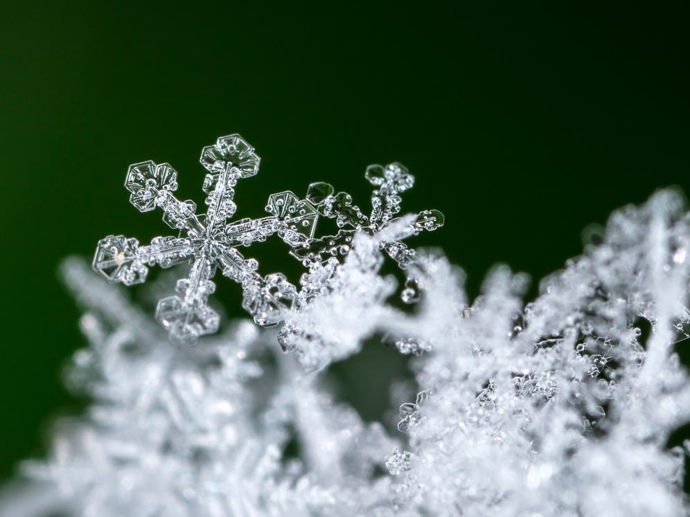
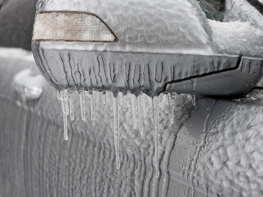
NEW YORK CITY — The snowstorm may have cleared up, but it is going to be dangerously cold in New York City this week, as the city is getting hit with a long stretch of below-freezing temperatures with wind chills in the teens, forecasters and city officials said.
The city's Department of Social Services has issued a Code Blue Weather Alert for Tuesday night, which will send outreach teams to get unsheltered homeless people into emergency havens overnight, the department said.
A Code Blue is issued when the temperature or wind chill is forecast to drop to 32 degrees between 4 p.m. and 8 a.m.
Find out what's happening in Central Parkfor free with the latest updates from Patch.
Since this week's temperature lows are expected to stay around the high 20s, every night this week will likely be a Code Blue.
Frozen pipes, icy streets and power outages could occur this week due to the dangerously low temperatures, AccuWeather Meteorologist Alex Duffus said.
Find out what's happening in Central Parkfor free with the latest updates from Patch.
Temperatures are to go below freezing tonight. If you see anyone at risk, especially those living on the street, please call 311. During #CodeBlue, shelter is available system-wide for anyone brought to a shelter by outreach teams. Accommodations are also available for walk-ins. pic.twitter.com/HsDsXZcPLL
— Homeless Services (@NYCDHS) January 7, 2025
But, on Friday, temperatures may rise closer to normal for this time of year, according to the National Weather Service.
Then on Saturday, a second winter storm could bring another dusting of snow to the New York City area, but it depends on what path the storm takes.
“There are two scenarios for this late-week storm. One scenario brings this storm farther south with limited snow and ice. If the storm is guided up the coast and strengthens, we could end up with a large snowstorm from the Carolinas to the mid-Atlantic, possibly reaching eastern New England,” AccuWeather Chief On-Air Meteorologist Bernie Rayno said.
Models are showing different scenarios as of Tuesday morning, and it's still too early to tell what will happen, National Weather Service forecasters said. A major storm may be avoided, though.
“As extreme cold temperatures move into our state over the coming days, I encourage New Yorkers to take precautions to keep themselves and their families safe,” Governor Kathy Hochul said. “These conditions pose an extraordinary risk to anyone who is exposed to the elements or is unable to adequately heat their home, and my administration is mobilizing State resources to help respond as needed.”
Here's the latest forecast from the National Weather Service.
Tuesday
Sunny, with a high near 32. Wind chill values between 10 and 20 degrees. Blustery, with gusts as high as 38 miles per hour.
Tuesday night
Pretty clear skies, with a low of 25 degrees. Wind chill values between 10 and 15 degrees. Wind blowing up to 34 mph.
Wednesday
Sunny, with a high near 27 and wind chill values between 10 and 15 degrees. Wind blowing up to 32 mph.
Wednesday night
Mostly clear, with a low around 21 and wind blowing up to 22 mph, making it feel more like 10 to 15 degrees.
Thursday
Mostly sunny, with a high near 32. Windy, with gusts blowing up to 32 mph.
Thursday night
Mostly clear, with a low around 31. Windy.
Friday
Sunny, with a high of 39 degrees.
Friday night
Mostly cloudy, with a low of 28 degrees.
Saturday
A 30 percent chance of snow. Mostly cloudy, with a high near 34.
Saturday night
Mostly cloudy, with a low around 29.
This is a developing story and may be updated. For questions and tips, email Miranda.Levingston@Patch.com.
Get more local news delivered straight to your inbox. Sign up for free Patch newsletters and alerts.