Weather
Snow Forecast For NYC: See Latest Storm Predictions Here
The National Weather Service has issued a Hazardous Weather Outlook for an oncoming storm in New York City.

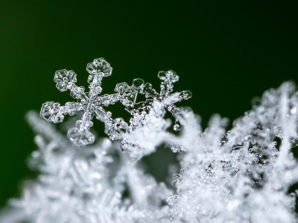
CENTRAL PARK, NY — Snowfall ranging from a light dusting to up to half an inch is anticipated for New York City Friday night into Saturday, according to the latest forecast.
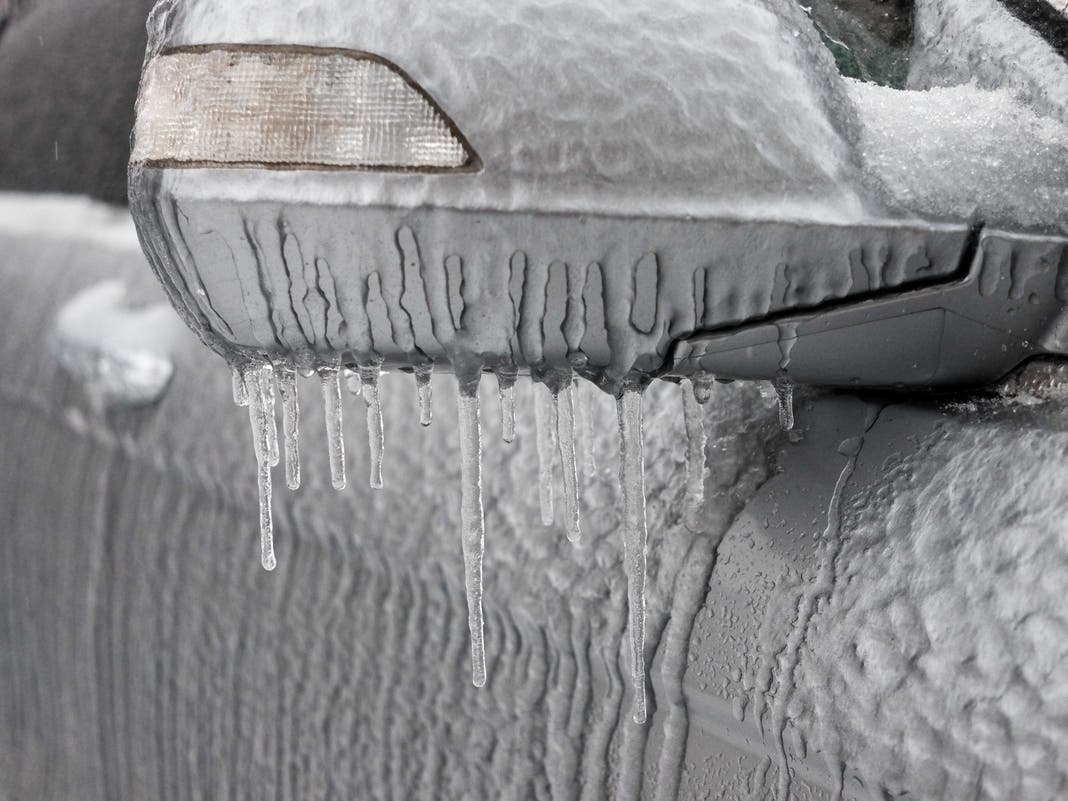
In more southern areas of the city, plain rain or a rain-snow mix is predicted, which could produce slick conditions for the Friday night commute, and icy roads on Saturday when the temperatures drop below freezing, according to the National Weather Service.
The National Weather Service has issued a Hazardous Weather Outlook for the city beginning Friday morning and lasting until Saturday morning, as travel conditions could become slippery.
Find out what's happening in Central Parkfor free with the latest updates from Patch.
"Precipitation today will be light and intermittent, with a chance of light snow inland and mainly rain at the coast. Any precipitation tonight will be in the form of snow," a meteorologist from the National Weather Service said.
Forecasters said there is some uncertainty with this storm depending on how it plays out. The National Weather Service called it "a difficult forecast," and noted that snowfall amounts could be higher than forecast.
Find out what's happening in Central Parkfor free with the latest updates from Patch.
According to New York City's Emergency Management team, there is also a 10 percent chance that parts of the city could see up to two inches.
"Conditions around New York City are tricky," AccuWeather Chief On-Air Meteorologist Bernie Rayno said. "They can get a coating to an inch or two of snow from the clipper storm, perhaps a bit more if the coastal storm tracks farther west, or they could be in a rip-off zone where nothing to a few flurries occur."
Saturday marks the first day of winter, and snow will end by late morning, forecasters say. Below-freezing temperatures will linger through the weekend.
Since the temps will be in the teens at night, the New York City Emergency Management team issued a reminder that apartment building owners are legally required to maintain indoor temperatures at 68 degrees when the temperatures fall below 55 degrees outside during the day and a minimum of 62 degrees indoors overnight, regardless of outdoor temperatures.
If an apartment lacks appropriate heat, tenants should first notify the building owner or super, but if proper heat is not restored, then call 311 to register an official complaint.
Here's the latest forecast.
Friday
A 60 percent chance of rain and snow showers before 10 a.m., then rain likely. Cloudy, with a high near 39. Northeast wind 9 to 13 mph. Little or no snow accumulation is expected.
Friday night
A 60 percent chance of rain before 10 p.m., then a chance of rain and snow between 10 p.m. and 1 a.m., then snow likely after 1 a.m. Cloudy, with a low around 31. Wind chill values between 25 and 30. New snow accumulation of less than a half inch possible.
Saturday
A 30 percent chance of snow before 1 p.m. Cloudy, then gradually becoming mostly sunny, with a high near 34. Wind chill values between 20 and 25. Northwest wind 10 to 17 mph.
Saturday night
Mostly clear, with a low around 19. Wind chill values between 5 and 15. Northwest wind 14 to 16 mph.
Sunday
Sunny, with a high near 27. Northwest wind 10 to 14 mph.
Sunday night
Clear, with a low around 17.
Monday
Sunny, with a high near 30.
Monday night
Mostly cloudy, with a low around 28.
Tuesday
A 30 percent chance of snow. Mostly cloudy, with a high near 37.
Tuesday night
Mostly cloudy, with a low around 33.
For questions and tips, email Miranda.Levingston@Patch.com.
Get more local news delivered straight to your inbox. Sign up for free Patch newsletters and alerts.