Weather
Latest Storm Forecast For NYC: Chances For Snow, Rain Through Weekend
The city has issued a Code Blue alert for Thursday.

NEW YORK CITY — It's going to be a cold and blustery weekend in New York City, as a wintery mix of rain and snow is headed to the area, forecasters say.
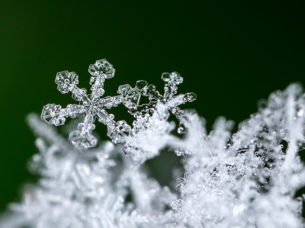
According to the latest forecast from the National Weather Service, there is a 30 percent chance of snow showers overnight on Thursday, which will taper off on Friday.
Then, from Saturday to Sunday morning, there is a 50 percent chance of rain, which will turn into snow overnight and into Sunday morning, forecasters from the National Weather Service said.
Find out what's happening in Central Parkfor free with the latest updates from Patch.
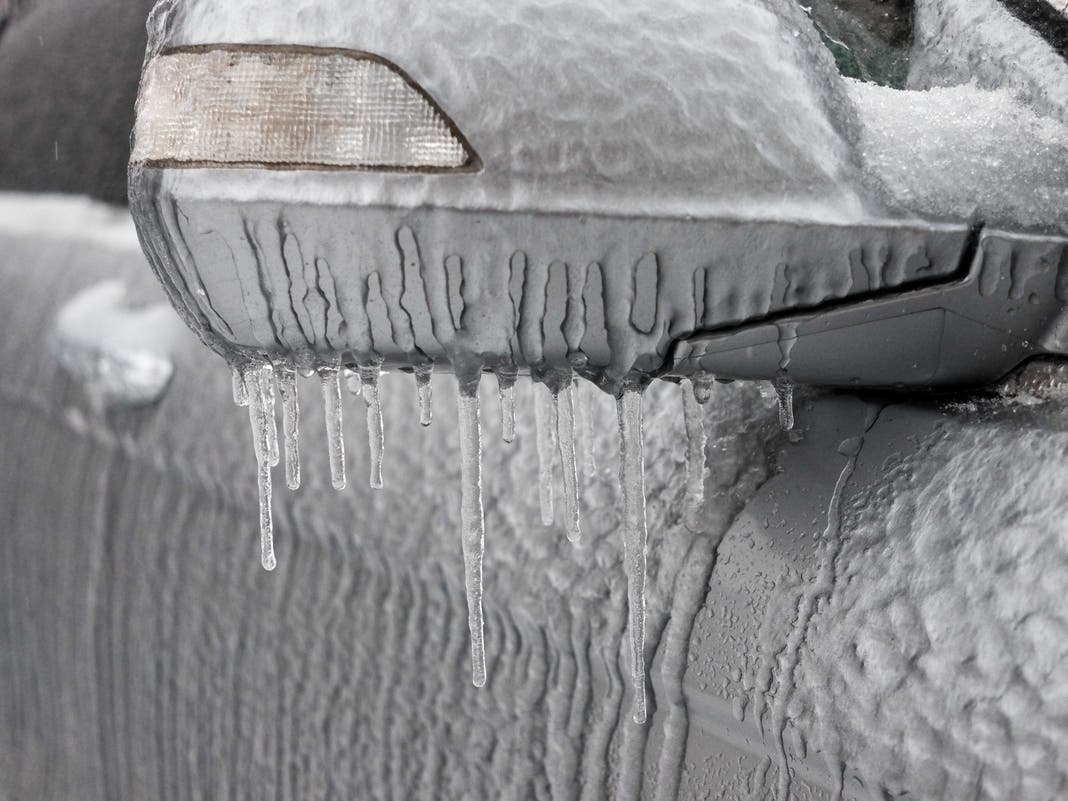
"Expect light snowfall of a few tenths of an inch, with a small possibility of under an inch," NYC's Emergency Management said on X (formerly Twitter) on Thursday. "Untreated roads, sidewalks, and bike paths could become icy, so please exercise caution when walking, biking, or driving."
The city's Department of Social Services has also issued aCode Blue Weather Alert, which will send outreach teams to get unsheltered homeless people into emergency havens overnight, the department said.
Find out what's happening in Central Parkfor free with the latest updates from Patch.
A Code Blue is issued when the temperature or wind chill is forecast to drop to 32 degrees between 4 p.m. and 8 a.m.
Snowfall will be followed by cold conditions through the end of the week with daily wind chills below freezing, according to the latest forecast.
"Even if it develops, the system will be rather weak and progressive, so snowfall totals and resulting impacts appear minor," National Weather Service forecasters said.
AccuWeather forecasters said there could be enough snow and ice to make for slippery travel Sunday.
Here's the latest forecast from the National Weather Service.
Thursday
A 30 percent chance of snow showers after 4 p.m. Mostly cloudy, with a high near 33. Wind chill values between 15 and 25 degrees, with wind blowing around 11 miles per hour.
Thursday night
A 30 percent chance of snow showers before 1 a.m. Cloudy during the early evening, then gradual clearing, with a low around 28. Wind chill values between 20 and 25. Light gusts of wind around 8 mph.
Friday
Sunny, with a high near 39. Wind chill values between 20 and 30. Light gusts of wind up to 10 mph.
Friday night
Mostly clear, with a low around 33 degrees. Wind will blow 6 to 9 mph.
Saturday
A 50 percent chance of rain after 1 p.m. Mostly cloudy, with a high near 45 degrees. South wind 9 to 11 mph.
Saturday night
Mostly cloudy, with a low around 33 degrees.
Sunday
A 30 percent chance of rain and snow after 1 p.m. Partly sunny, with a high near 39 degrees.
Sunday night
A 40 percent chance of snow before 1 a.m. Mostly cloudy, with a low around 22 degrees.
Monday (Martin Luther King Jr. Day)
Mostly sunny, with a high near 27 degrees
Monday night
Partly cloudy, with a low around 12 degrees.
For questions and tips, email Miranda.Levingston@Patch.com.
Get more local news delivered straight to your inbox. Sign up for free Patch newsletters and alerts.