Weather
New Snow Storm To Target NYC This Weekend, Forecasters Say
A snowstorm brewing in the south could swing up along the coast toward New York City this weekend, forecasters predict.

NEW YORK CITY — This weekend in New York City has more chances for snow on Friday night and Saturday, as a snowstorm developing in the southeast sweeps up along the coast, meteorologists from Accuweather say.
Accuweather meteorologists say how far north the storm will extend depends on the storm's intensity and track from Friday into Saturday.
As of Wednesday morning, the National Weather Service is predicting a 50 percent chance of snow on Friday evening, and another 50 percent chance of snow on Saturday morning, up from the organizations 30 percent prediction on Tuesday.
Find out what's happening in Central Parkfor free with the latest updates from Patch.
However, Accuweather meteorologists say there is a 15 percent chance the snowstorm will gain much more intensity and track toward the northeast, which would bring a very different outcome for New Yorkers.
"Not only would such a storm bring a substantial amount of snow to cities such as Washington, D.C., Baltimore, Philadelphia, New York City, and even Boston from Saturday to Saturday night, but it would also increase winds along the coast on par with a major nor'easter," AccuWeather Chief Meteorologist Jonathan Porter said. "However, this scenario is much less likely — say only about a 15% chance of occurrence — but still poses enough of a threat to be monitored closely."
Find out what's happening in Central Parkfor free with the latest updates from Patch.
What's likely is that the track goes somewhere between this northern one and a straight east one.
In that case, New York City will still likely see an inch of snow and slippery roads.
AccuWeather forecasters predict a little more than an inch of snow across New York City from Friday to Saturday.
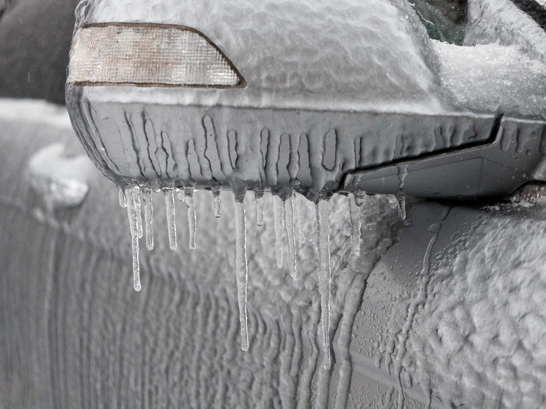
In the meantime, it will still be very cold. Wind chill could make it feel like below zero on Wednesday and Thursday.
After that, temperatures will warm very slightly up into the mid-30s, with light winds to decrease the wind chill.
Here's the latest forecast from the National Weather Service.
Wednesday
Sunny, with a high near 27. Wind chill values between 10 and 15. Blustery, with northwest wind gusts as high as 39 miles per hour.
Wednesday night
Partly cloudy, with a steady temperature around 24. Wind chill values between 10 and 15 degrees. Wind gusts as high as 34 mph.
Thursday
Mostly sunny, with a high near 30 degrees. Wind chill values between 10 and 20 degrees. Wind gusts as high as 40 mph.
Thursday night
Mostly clear, with a low around 25 degrees. Wind chill values between 15 and 20 degrees. Northwest wind gusts as high as 39 mph.
Friday
Sunny, with a high near 38 degrees. Northwest wind 9 to 13 mph.
Friday night
A 50 percent chance of snow after 1 a.m. Mostly cloudy, with a low of around 25 degrees.
Saturday
A 50 percent chance of snow before 1 p.m. Mostly cloudy, with a high near 34.
Saturday night
Partly cloudy, with a low around 28.
Sunday
Sunny, with a high near 37.
Sunday night
Mostly clear, with a low around 25.
For questions and tips, email Miranda.Levingston@Patch.com.
Get more local news delivered straight to your inbox. Sign up for free Patch newsletters and alerts.