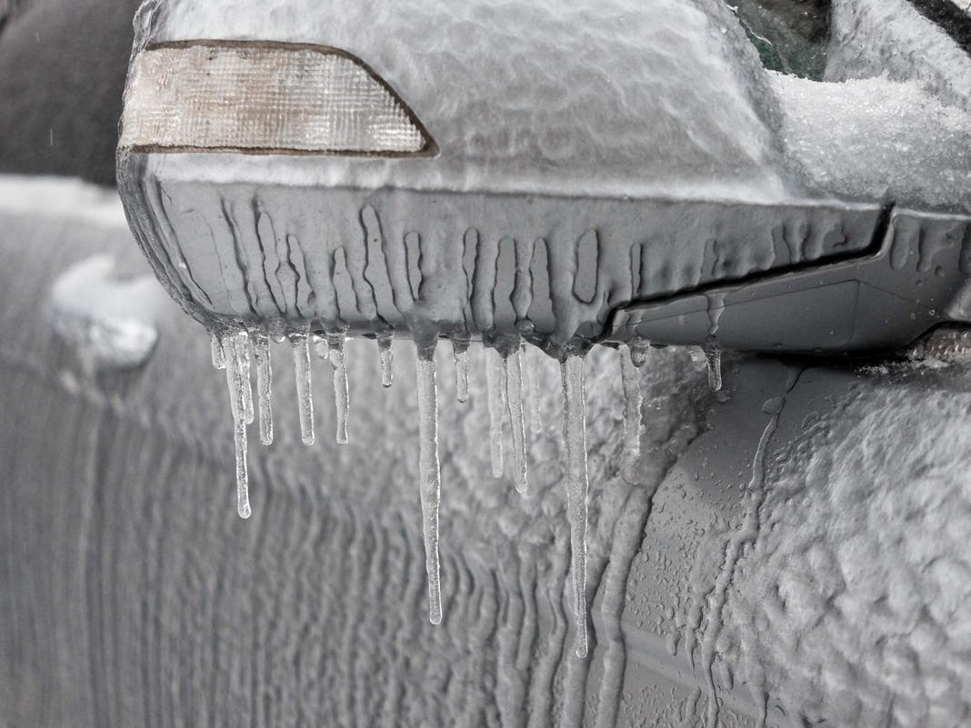
NEW YORK CITY — After a weekend of heavy snow, New Yorkers can expect more winter weather this week as three storms head toward the area, bringing a wintry mix of rain, sleet and snow, forecasters said.
The first of three potential winter storms is preparing to dump between one and two inches of snow on Tuesday night, according to the latest forecast from the National Weather Service.
Then, Wednesday night could see a mix of snow, sleet and rain, which will trail into Thursday morning, meteorologists said.
Find out what's happening in Central Parkfor free with the latest updates from Patch.
"Another storm is expected to closely follow on the heels of the early week storm, impacting many of the same areas beginning on Wednesday," said AccuWeather Meteorologist Alex Duffus. AccuWeather noted that some may not even notice a break in between before the next storm begins.
The timing of these storms means that both evening and morning commutes could be dangerous during the middle of the week, forecasters warn.
Find out what's happening in Central Parkfor free with the latest updates from Patch.
The first in a series of storms arrives tomorrow evening, with a light snowfall expected across the southern half of the region. 🕗Tuesday Evening - Wednesday AM 📏1-2" snowfall for NYC, Long Island, and NE NJ 🚘Slick travel conditions possible Forecast: https://t.co/wTqdsonfJ9 pic.twitter.com/E3Q3GtFV97
— NWS New York NY (@NWSNewYorkNY) February 10, 2025
Meteorologists are also tracking a third storm this weekend. It's too early for details, but National Weather Service forecasters predict another rainy mix of bad weather.
Here's the latest forecast from the National Weather Service.
Monday: Sunny, with a high near 37. Northwest wind around 10 mph.
Monday night: Mostly clear, with a low around 25. Northwest wind 5 to 7 mph.
Tuesday: A 20 percent chance of snow after 4 p.m. Mostly cloudy, with a high near 36. Wind chill values between 25 and 30. Light and variable wind.
Tuesday night: A 60 percent chance of snow, mainly between 10 p.m. and 4 a.m. Cloudy, with a low around 28. Wind chill values between 20 and 25. Light wind. Between one and two inches of snow are predicted to fall.
Wednesday: A 30 percent chance of snow. Cloudy, with a high near 36. Northeast wind around 14 mph.
Wednesday night: There is a 100 percent chance that snow and sleet will fall before 1 a.m., then rain, snow, and sleet. The temperature is expected to rise to around 37 by midnight. Less than one inch of snow and sleet is expected to accumulate.
Thursday: A 50 percent chance of rain before 1 p.m. Mostly cloudy, with a high near 41.
Thursday night: Partly cloudy, with a low around 28.
Friday: Mostly sunny, with a high near 35.
Friday night: Mostly cloudy, with a low around 27.
For questions and tips, email Miranda.Levingston@Patch.com.
Get more local news delivered straight to your inbox. Sign up for free Patch newsletters and alerts.