Weather
Sleet, Snow, Rain: Latest Forecast For Midweek Storm In NYC
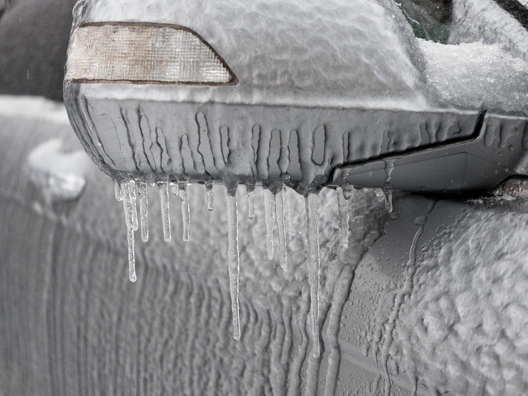
NYC will see snow, sleet, freezing rain and everything in between when a storm hits Wednesday night, forecasters say.

NEW YORK CITY — The New York City area is expected to get pummeled with frigid winds and a wintry mix of sleet and snow later this week, resulting in icy slush and slippery conditions, forecasters say.
According to forecasters from the National Weather Service, about half an inch of snow is likely to accumulate on Wednesday night, and on Thursday morning, there is a 100 percent chance of snow and sleet, which will turn into rain after 11 a.m.
"Impacts to the morning commute are expected across the entire region. Snowfall accumulations are around an inch near the coast and NYC metro," a forecaster from the National Weather Service said.
Find out what's happening in Central Parkfor free with the latest updates from Patch.
The midweek storm is expected to clear out by Thursday night, and Friday is predicted to be clear, forecasters said.
Though the ice storm will be brief, Accuweather Meteorologist Jonathan Porter said drivers should still exercise caution and New Yorkers should be braced for impact.
Find out what's happening in Central Parkfor free with the latest updates from Patch.
“A light glaze of ice can create treacherous driving conditions on bridges, highways and ramps in a matter of seconds," Porter said. “A half inch of ice accumulation can add 500 pounds of extra weight or more to power lines. Tree branches coated in ice can snap and fall on power lines."
Here is the latest forecast, from the National Weather Service.
Tuesday
Mostly sunny, with a steady temperature around 41. Breezy, with wind gusts as high as 34 miles per hour.
Tuesday night
Increasing clouds, with a low around 28. Wind chill values between 15 and 20, and wind blowing up to 18 mph.
Wednesday
Mostly cloudy, with a high near 35. Wind chill values between 20 and 30. Wind blowing up to 11 mph.
Wednesday night
There's a 60 percent chance of snow, mainly after 4 a.m. Mostly cloudy, with a steady temperature around 33. Wind chill values between 25 and 30. Up to half an inch of snow is possible.
Thursday
A 100 percent chance of snow and sleet before 9 a.m, then rain, snow, and sleet between 9 a.m. and 11 a.m., then rain after 11 a.m. High near 41. Southeast wind 10 to 13 mph becoming southwest in the afternoon. Up to half of an inch of snow and sleet is possible.
Thursday night
Mostly cloudy, with a temperature rising to around 41 by 5 a.m.
Friday
Mostly sunny, with a high near 43.
Friday night
Mostly cloudy, with a low around 29.
To see the latest forecast, click here.
For questions and tips, email Miranda.Levingston@Patch.com.
Get more local news delivered straight to your inbox. Sign up for free Patch newsletters and alerts.