Weather
Warning Issued As Back-To-Back Storms Kick Off In NYC: Latest Updates
The city's emergency management department has issued a winter weather alert and is advising New Yorkers to use caution on the roads.

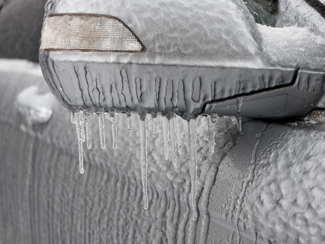
NEW YORK CITY — The city is braced for bad weather on Tuesday, as the first of three storms is expected to sweep through the region after 4 p.m., bringing up to three inches of rain, sleet and snow, forecasters and city officials said.
The city's emergency management department has issued a winter weather alert, fanning out across the city to salt the bike lanes and roadways, and it has snow plows at the ready, the department said.
NYC's Department of Emergency Management warned that the storm could create slick, slushy roadways. New Yorkers should prepare for slippery conditions, use caution on the roads and expect delays, the department officials said.
Find out what's happening in Central Parkfor free with the latest updates from Patch.
"A quick moving storm system will bring a widespread 1 to 2 inches of snow tonight, with locally 3" possible. This will likely result in untreated roads being snow covered and hazardous tonight into the Wednesday morning commute," a forecaster from National Weather Service said.
The city's Department of Social Services has also issued a Code Blue Weather Alert, which will send outreach teams to get unsheltered homeless people into emergency havens overnight, the department said.
Find out what's happening in Central Parkfor free with the latest updates from Patch.
A Code Blue is issued when the temperature or wind chill is forecast to drop to 32 degrees between 4 p.m. and 8 a.m.
“New Yorkers can expect freezing temperatures and snowfall this week, and our city agencies are ready to answer the call to keep our city safe,” Mayor Eric Adams said.
After a cloudy afternoon, snow should move after about 8 PM and continue for much of the night, then taper off before daybreak. Greatest potential for snowfall of 2 or more will run across Long Island to the lower boroughs of NYC and into adjacent portions of New Jersey on south. pic.twitter.com/oYIlGcvO5D
— NWS New York NY (@NWSNewYorkNY) February 11, 2025
A second storm will bring snowfall and rain overnight on Wednesday into Thursday, and clear out by Friday.
Meteorologists are also tracking a third storm this weekend. It's too early for details, but National Weather Service forecasters predict another rainy mix of bad weather on Saturday.
Here's the latest forecast from the National Weather Service.
Tuesday: A 20 percent chance of snow after 4 p.m. Cloudy, with a high near 35. Light winds.
Tuesday night: A 90 percent chance of snow, mainly before 4 a.m. Low around 31 degrees. Wind chill values between 25 and 30. Light and variable wind becoming northeast 5 to 9 mph after midnight. Between 1-3 inches of snow is possible.
Wednesday: A slight chance of snow before 7 a.m., then a 40 percent chance of snow after 4 p.m. Cloudy, with a high near 38. Wind chill values between 25 and 30. Northeast wind 11 to 13 mph.
Wednesday night: A 100 percent chance of snow before 10 p.m., then rain, snow, and sleet between 10 p.m. and 1 a.m., then rain after 1 a.m. The temperature will rise to around 38 by 5 a.m. East wind 13 to 16 mph. New snow and sleet accumulation of less than a half inch possible.
Thursday: A 60 percent chance of rain before 1 p.m. Mostly cloudy, with a high near 44. Northeast wind 9 to 14 mph becoming west in the afternoon. New precipitation amounts to less than a tenth of an inch possible.
Thursday night: Partly cloudy, with a low around 29.
Friday: Sunny, with a high near 36.
Friday night: Mostly cloudy, with a low around 28.
This is a developing story and may be updated. For questions and tips, email Miranda.Levingston@Patch.com.
Get more local news delivered straight to your inbox. Sign up for free Patch newsletters and alerts.